Bald Head Island in Brunswick County, North Carolina — The American South (South Atlantic)
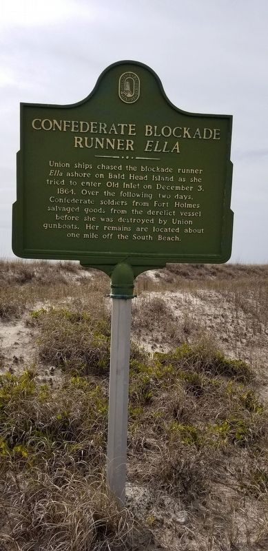
Confederate Blockade Runner Ella
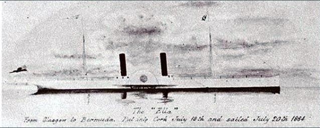
Union ships chased the blockade runner Ella ashore on Bald Head Island as she tried to enter Old Inlet on December 3, 1864. Over the following two days, Confederate soldiers from Fort Holmes salvaged goods from the derelict vessel before she was destroyed by Union gunboats. Her remains are located about one mile off the South Beach.
Erected by Village of Bald Head Island.
Topics. This historical marker is listed in these topic lists: War, US Civil • Waterways & Vessels. A significant historical date for this entry is December 3, 1864.
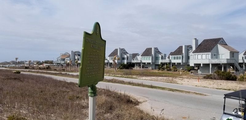
Location. 33° 51.58′ N, 78° 0.231′ W. Marker is on Bald Head Island, North Carolina, in Brunswick County. Marker is on South Bald Head Wynd, 0.1 miles south of Salt Meadow Trail, on the right when traveling south. Touch for map. Marker is in this post office area: Southport NC 28461, United States of America. Touch for directions.
Other nearby markers. At least 8 other markers are within 3 miles of this marker, measured as the crow flies. Fort Holmes, 1863-1865 Batteries No. 1 and No. 2 (approx. 0.6 miles away); Fort Holmes, 1863-1865 Battery Holmes (approx. ¾ mile away); Fort Holmes, 1863-1865 Battery No. 4 (approx. 0.9 miles away); Guarding the Confederacy Lifeline (approx. 0.9 miles away); Fort Holmes, 1863-1865 Encampment Site (approx. one mile away); Revolutionary War Fort (approx. one mile away); Captain Charlie’s Station (approx. 2.3 miles away); Generator House (approx. 2.4 miles away). Touch for a list and map of all markers in Bald Head Island.
Additional keywords. Confederate Blockade Runner Ella

Photographed By Larry Gertner, May 24, 2021
4. PSS Ella (+1864)
Wrecksite entry
Click for more information.
Click for more information.
Credits. This page was last revised on May 24, 2021. It was originally submitted on March 31, 2018, by Charles Keller of Myrtle Beach, South Carolina. This page has been viewed 960 times since then and 66 times this year. Last updated on January 30, 2021, by Bradley Owen of Morgantown, West Virginia. Photos: 1, 2, 3. submitted on March 31, 2018, by Charles Keller of Myrtle Beach, South Carolina. 4. submitted on May 24, 2021, by Larry Gertner of New York, New York. • Bernard Fisher was the editor who published this page.


