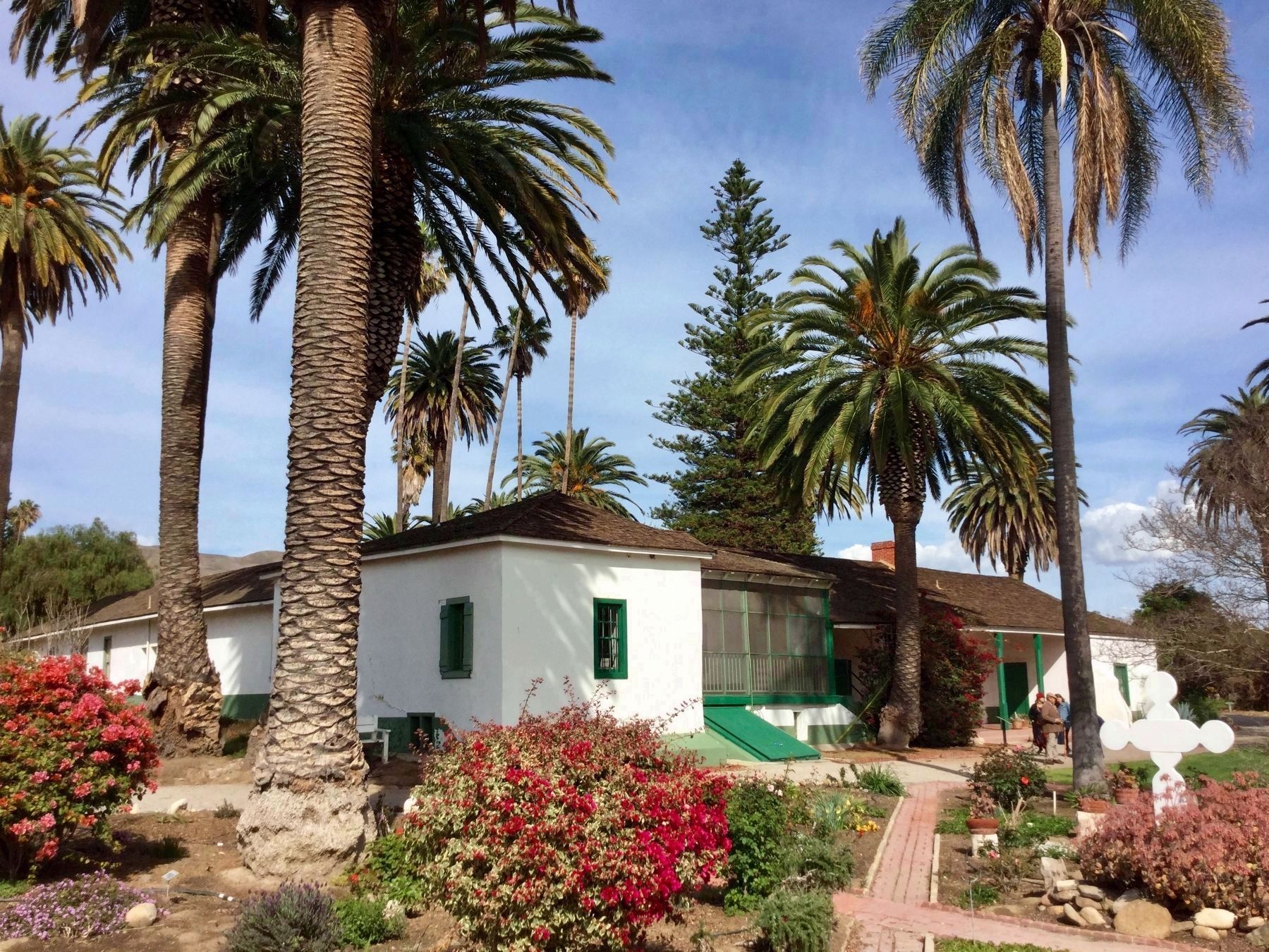
Near Piru in Ventura County, California — The American West (Pacific Coastal)
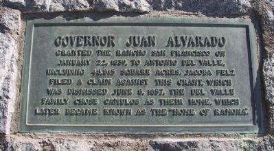
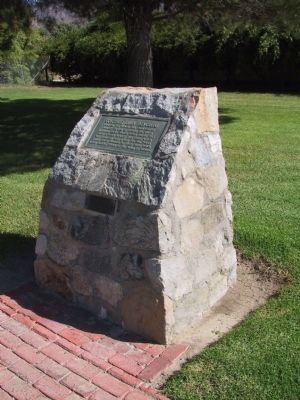
Governor Juan Alvarado
Rancho San Francisco
— Antonio del Valle —
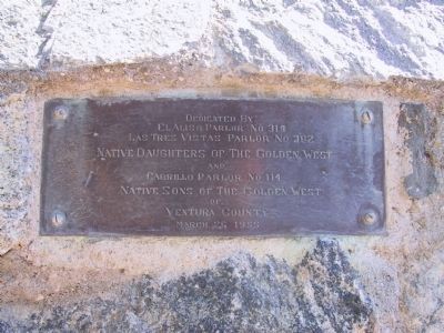
Erected 1955 by El Aliso Parlor No. 314, Las Tres Vistas Parlor No. 302 Native Daughters of the Golden West and Cabrillo Parlor No. 114 Native Sons of the Golden West of Ventura County.
Topics and series. This historical marker is listed in these topic lists: Agriculture • Hispanic Americans • Settlements & Settlers. In addition, it is included in the Native Sons/Daughters of the Golden West series list. A significant historical year for this entry is 1839.
Location. 34° 24.39′ N, 118° 45.41′ W. Marker is near Piru, California, in Ventura County. Marker is on State Highway 126, 2 miles east of Piru, on the right when traveling east. Located at the Rancho Camulos Museum. Touch for map. Marker is at or near this postal address: 5164 E Telegraph Rd, Fillmore CA 93015, United States of America. Touch for directions.
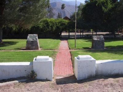
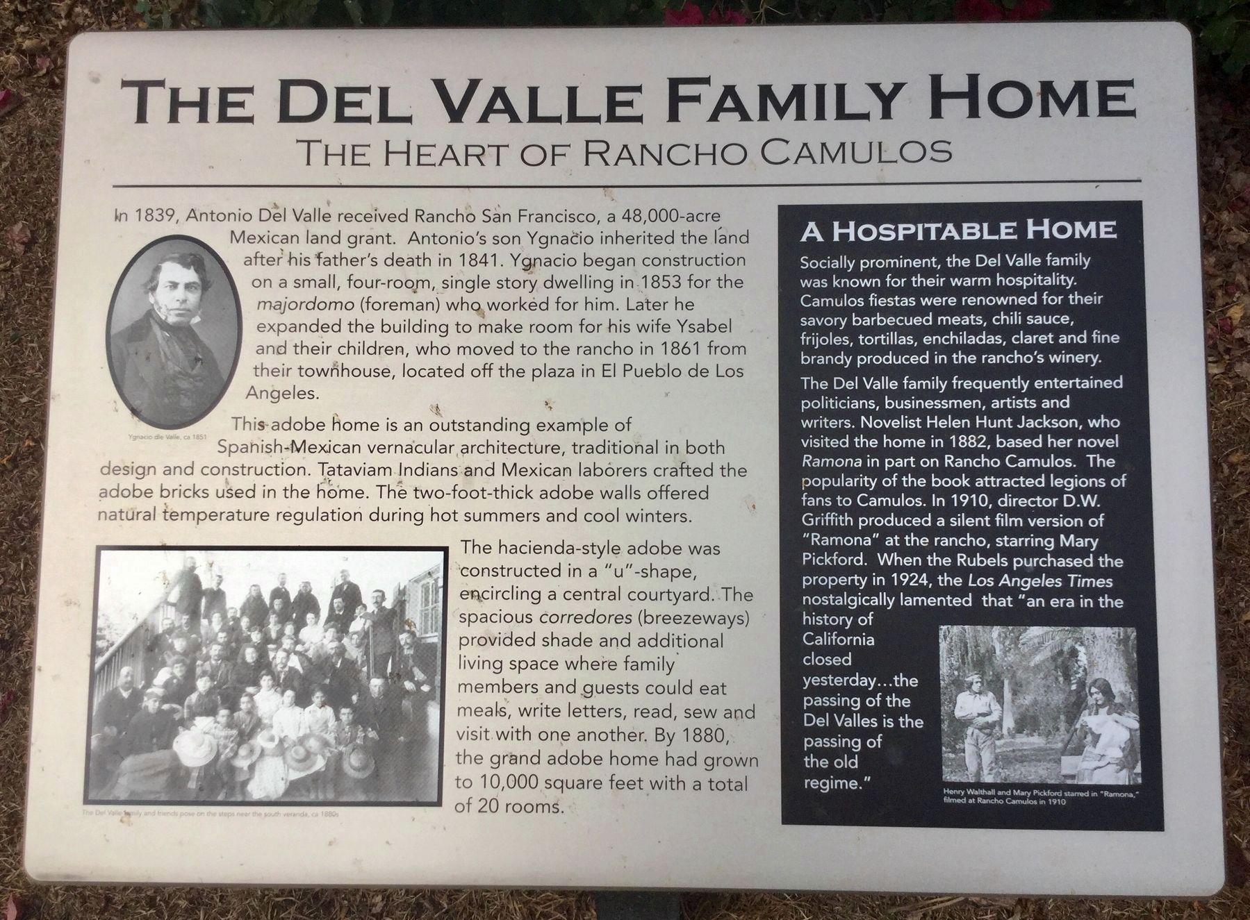
Other nearby markers. At least 8 other markers are within 8 miles of this marker, measured as the crow flies. Rancho Camulos (here, next to this marker); Camulos, Ventura Co. California (about 400 feet away, measured in a direct line); The Del Valle Family Home (about 600 feet away); Portolá Expedition (approx. 2.1 miles away); The Piru Mansion (approx. 2.3 miles away); St. Francis Dam Disaster (approx. 2.8 miles away); Fillmore Fish Hatchery (approx. 7.4 miles away); First Commercial Oil Well In California (approx. 7.7 miles away). Touch for a list and map of all markers in Piru.
Also see . . . Rancho Camulos Museum. (Submitted on April 17, 2023.)
Credits. This page was last revised on May 3, 2023. It was originally submitted on January 9, 2012, by Michael Kindig of Elk Grove, California. This page has been viewed 1,636 times since then and 13 times this year. Last updated on April 1, 2018, by Craig Baker of Sylmar, California. Photos: 1, 2, 3, 4. submitted on January 3, 2012, by Michael Kindig of Elk Grove, California. 5, 6. submitted on April 1, 2018, by Craig Baker of Sylmar, California. • Syd Whittle was the editor who published this page.
