Pomfret Center in Windham County, Connecticut — The American Northeast (New England)
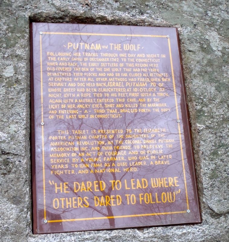
Putnam and The Wolf
Following her tracks through one day and night in
the early snow of December 1742 to the Connecticut
River and back, the early settlers of this region here
discovered the den of the She Wolf that had for years
devastated their flocks and had so far eluded all attempts
at capture after all other methods had failed. With both
servant and dog held back, Israel Putnam, 70 of
whose sheep had been slaughtered at 10 o‘clock at
night, with a rope tied to his feet, first with a torch,
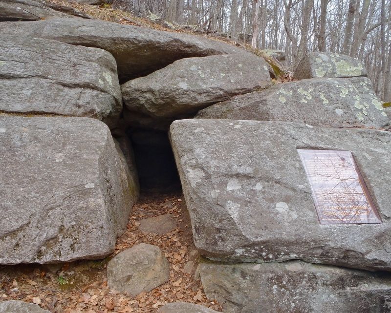
again with a musket, entered this cave, and by the
light of her angry eyes, shot and killed the marauder
and entering a third time, dragged forth the body
of the last wolf in Connecticut.
This tablet is presented to the Elizabeth-Porter Putnam Chapter of the
Daughters of the American Revolution, by the Colonel Daniel Putnam
Association INC. and their friends to preserve the memory of an act of
courage and of public service by a young farmer who was in later years to win fame as a wise leader,a brave fighter, and a National Hero.
“He dared to lead where others dared to follow”
Erected by the Colonel Daniel Putnam Association INC, Daughters of the American Revolution.
Topics and series. This historical marker is listed in this topic list: Animals. In addition, it is included in the Daughters of the American Revolution series list. A significant historical month for this entry is December 1742.
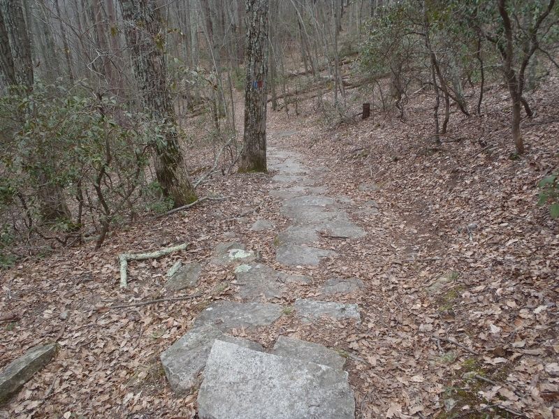
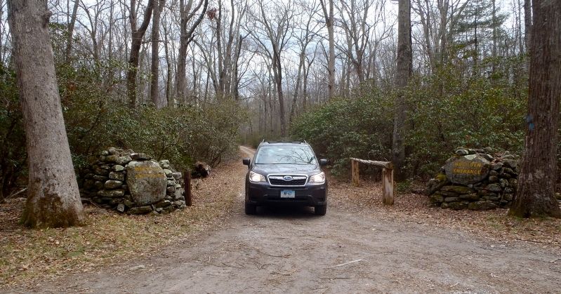
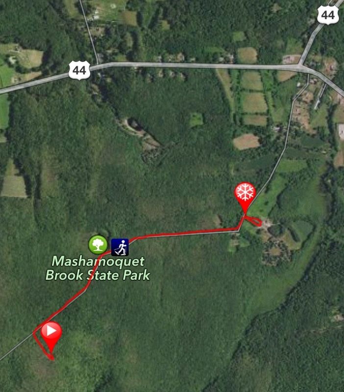
Location. 41° 50.498′ N, 71° 59.093′ W. Marker is in Pomfret, Connecticut, in Windham County. It is in Pomfret Center. Marker can be reached from Wolf Den Drive. The marker is located on the Blue Trail in Mashamoquet Brook State Park. Drive 0.6 miles south on the paved Wolf Den Drive to the Park Office at #147. It is 1.5 miles south on the unpaved Wolf Den Drive to the trailhead and another 0.2 miles on the Blue Trail to the marker. Touch for map. Marker is in this post office area: Pomfret Center CT 06259, United States of America. Touch for directions.
Other nearby markers. At least 8 other markers are within 5 miles of this marker, measured as the crow flies. Pomfret (approx. 1.4 miles away); Abington Congregational Meeting House (approx. 1.6 miles away); Abington Meeting House (approx. 1.6 miles away); Putnam Wolf Den (approx. 1.7 miles away); Israel Putnam's First Home (approx. 1.7 miles away); Clark Memorial Chapel (approx. 3.2 miles away); In Honor of the Men of Pomfret (approx. 4 miles away); World War I Memorial (approx. 4.1 miles away). Touch for a list and map of all markers in Pomfret.
Also see . . .
1. Putnam Wolf Den.
(Submitted on April 2, 2018, by Alan M. Perrie of Unionville, Connecticut.)
2. Putnam and The Wolf. (Submitted on April 2, 2018, by Alan M. Perrie of Unionville, Connecticut.)
Credits. This page was last revised on February 10, 2023. It was originally submitted on April 2, 2018, by Alan M. Perrie of Unionville, Connecticut. This page has been viewed 342 times since then and 29 times this year. Photos: 1, 2, 3, 4, 5. submitted on April 2, 2018, by Alan M. Perrie of Unionville, Connecticut. • Andrew Ruppenstein was the editor who published this page.
