Marker Logo HMdb.org THE HISTORICAL
MARKER DATABASE
“Bite-Size Bits of Local, National, and Global History”
Near Thomaston in Upson County, Georgia — The American South (South Atlantic)
 

Auchumpkee Creek Bridge


Auchumpkee Creek Bridge Marker image. Click for full size.
Photographed By Tom Bosse, April 3, 2018
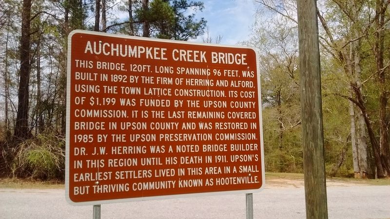
1. Auchumpkee Creek Bridge Marker
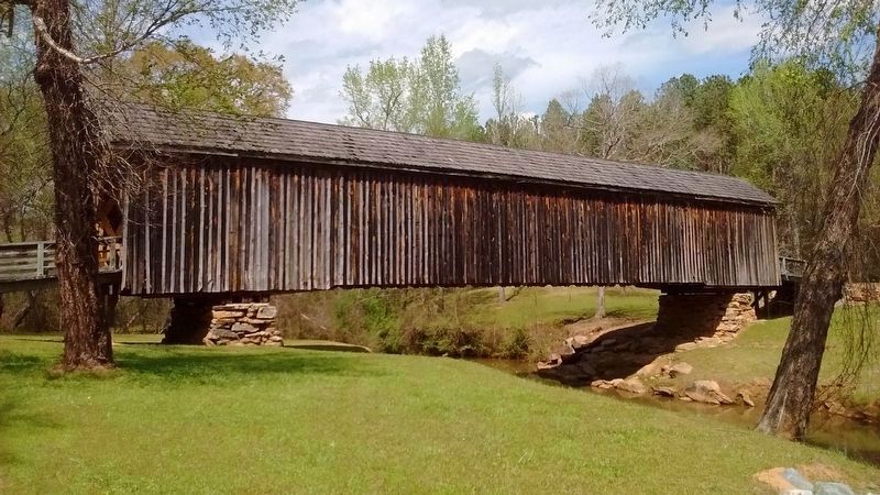
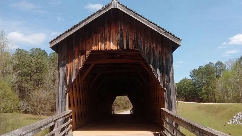
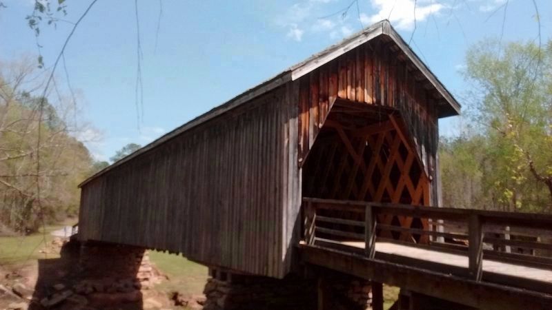
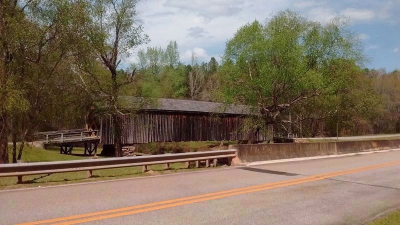
Inscription. This bridge, 120 ft. long spanning 96 feet, was built in 1892 by the firm of Herring and Alford, using the town lattice construction. Its cost of $1,199 was funded by the Upson County Commission. It is the last remaining covered bridge in Upson County and was restored in 1985 by the Upson Preservation Commission. Dr. J.W. Herring was a noted bridge builder in this region until his death in 1911. Upson's earliest settlers lived in this area in a small but thriving community known as Hootenville.
 
Topics and series. This historical marker is listed in these topic lists: Bridges & ViaductsSettlements & Settlers. In addition, it is included in the Covered Bridges series list. A significant historical year for this entry is 1892.
 
Location. 32° 45.342′ N, 84° 13.797′ W. Marker is near Thomaston, Georgia, in Upson County. Marker can be reached from Allen Road, 0.2 miles west of Wilmot Mill Road, on the left when traveling east. Touch for map. Marker is in this post office area: Culloden GA 31016, United States of America. Touch for directions.
 
Other nearby markers. At least 8 other markers are within 11 miles of this marker, measured as the crow flies. The Wire Road (approx. 7.6 miles away); William Bartram Trail (approx. 7.6 miles away); Taylor County Rural Electric Cooperative (approx. 8.6 miles away); Tuscaloosa Formation (approx. 8.7 miles away); Fort Lawrence
Paid Advertisement
Click on the ad for more information.
Please report objectionable advertising to the Editor.
Click or scan to see
this page online
(approx. 9.7 miles away); Creek Agency (approx. 9.9 miles away); Trice Cemetery (approx. 10 miles away); Pettigrew-White-Stamps House (approx. 10.2 miles away). Touch for a list and map of all markers in Thomaston.
 
Also see . . .  Auchumpkee Creek Covered Bridge. (Submitted on April 3, 2018, by Tom Bosse of Jefferson City, Tennessee.)
 
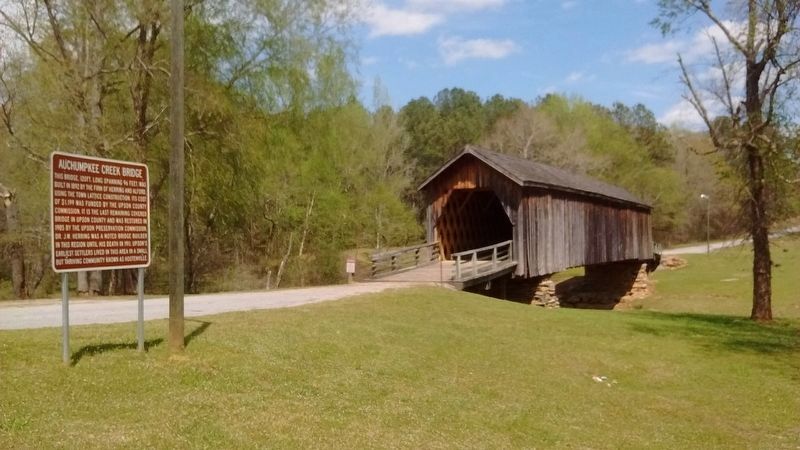
Auchumpkee Creek Bridge Marker image. Click for full size.
Photographed By Tom Bosse, April 3, 2018
2. Auchumpkee Creek Bridge Marker
Auchumpkee Creek Bridge image. Click for full size.
Photographed By Tom Bosse, April 3, 2018
3. Auchumpkee Creek Bridge
Auchumpkee Creek Bridge image. Click for full size.
Photographed By Tom Bosse, April 3, 2018
4. Auchumpkee Creek Bridge
Auchumpkee Creek Bridge image. Click for full size.
Photographed By Tom Bosse, April 3, 2018
5. Auchumpkee Creek Bridge
Auchumpkee Creek Bridge image. Click for full size.
Photographed By Tom Bosse, April 3, 2018
6. Auchumpkee Creek Bridge
 
 
Credits. This page was last revised on April 4, 2018. It was originally submitted on April 3, 2018, by Tom Bosse of Jefferson City, Tennessee. This page has been viewed 349 times since then and 33 times this year. Photos:   1, 2, 3, 4, 5, 6. submitted on April 3, 2018, by Tom Bosse of Jefferson City, Tennessee. • Bernard Fisher was the editor who published this page.
Share this page.  
Share on Tumblr
m=115881

CeraNet Cloud Computing sponsors the Historical Marker Database.
This website earns income from purchases you make after using our links to Amazon.com. We appreciate your support.
Paid Advertisement
Apr. 24, 2024