The Geology of the Pothole
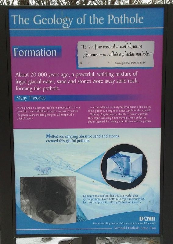
"It is a fine case of a well-known phenomenon called a glacial pothole."
Geologist J.C. Branner, 1884
Formation
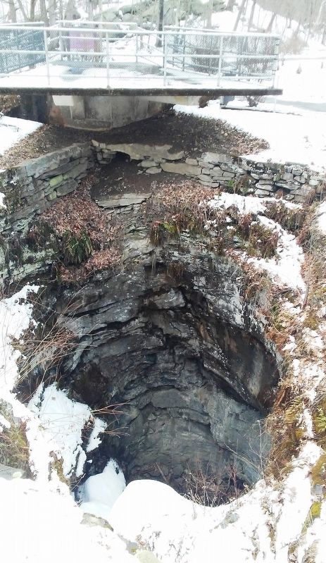
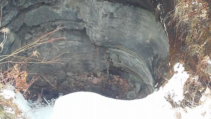
About 20,000 years ago, a powerful, whirling mixture of frigid glacial water, sand and stones wore away solid rock, forming this pothole.
Many Theories
At the pothole's discovery, geologists proposed that it was carved by a waterfall falling through a crevasse (crack) in the glacier. Many modern geologists still support this original theory.
A recent addition to this hypothesis places a lake on top of the glacier as a long-term water supply for the waterfall.
Other geologists propose that there was no waterfall. They argue that a large, fast-moving stream under the glacier supplied the swirling water that created the pothole.
Melted ice carrying abrasive sand and stones created this glacial pothole.
Comparisons confirm that this is a world-class glacial pothole. From bottom to top it measures 38 feet. At one place it is 42 by 24 feet in diameter.
Erected by Pennsylvania Department of Conservation & Natural Resources.
Topics. This historical marker is listed in this topic list: Natural Features. A significant historical year for this entry is 1884.
Location. 41° 30.712′ N, 75° 34.441′
Other nearby markers. At least 8 other markers are within 2 miles of this marker, measured as the crow flies. Discovery of the Pothole (here, next to this marker); Lackawanna Heritage Valley (here, next to this marker); SPC. Nicholas Staback (approx. one mile away); Harry Sugerman (approx. one mile away); Veterans Memorial (approx. 1.1 miles away); Dominick Paparelli (approx. 1.1 miles away); War Memorial (approx. 1.3 miles away); The Borough of Jermyn (approx. 1.7 miles away). Touch for a list and map of all markers in Archbald.
Also see . . . History of Archbald State Park. (Submitted on April 3, 2018, by William Fischer, Jr. of Scranton, Pennsylvania.)
Credits. This page was last revised on April 3, 2018. It was originally submitted on April 3, 2018, by William Fischer, Jr. of Scranton, Pennsylvania. This page has been viewed 177 times since then and 13 times this year. Photos: 1, 2, 3, 4, 5. submitted on April 3, 2018, by William Fischer, Jr. of Scranton, Pennsylvania.
