Lecompte in Rapides Parish, Louisiana — The American South (West South Central)
Smith's Landing
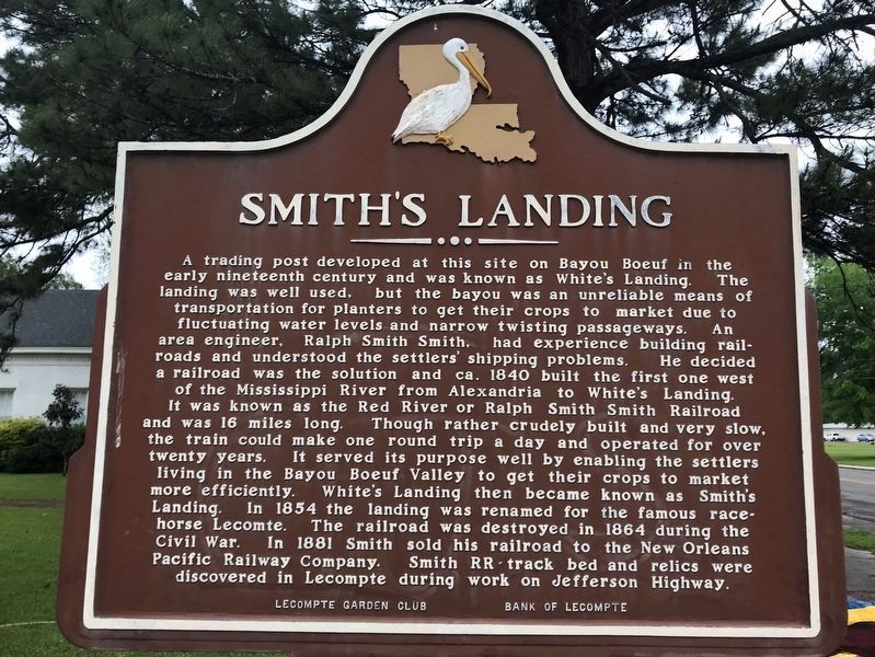
A trading post developed at this site on Bayou Boeuf in the early nineteenth century was known as White's Landing. The landing was well used, but the bayou was an unreliable means of transportation for planters to get their crops to market due to fluctuating water levels and narrow twisting passageways. An area engineer, Ralph Smith Smith, had experience building railroads and understood the settlers' shipping problems. He decided a railroad was the solution and ca. 1840 built the first one west of the Mississippi River from Alexandria to White's Landing. It was known as the Red River or Ralph Smith Smith Railroad and was 16 miles long. Though rather crudely built and very slow, the train could make one round trip a day and operated for over twenty years. It served its purposed well by enabling the settlers living in the Bayou Boeuf Valley to get their crops to market more efficiently. White's Landing then became known as Smith's Landing. In 1854 the landing was renamed for the famous racehorse Lecomte. The railroad was destroyed in 1864 during the Civil War. In 1881 Smith sold his railroad to the New Orleans Pacific Railway Company. Smith RR track bed and relics were discovered in Lecompte during work on Jefferson Highway.
Erected by Lecompte Garden Club & Bank of Lecompte.
Topics. This historical marker is listed in these topic lists: Railroads & Streetcars • Waterways & Vessels.
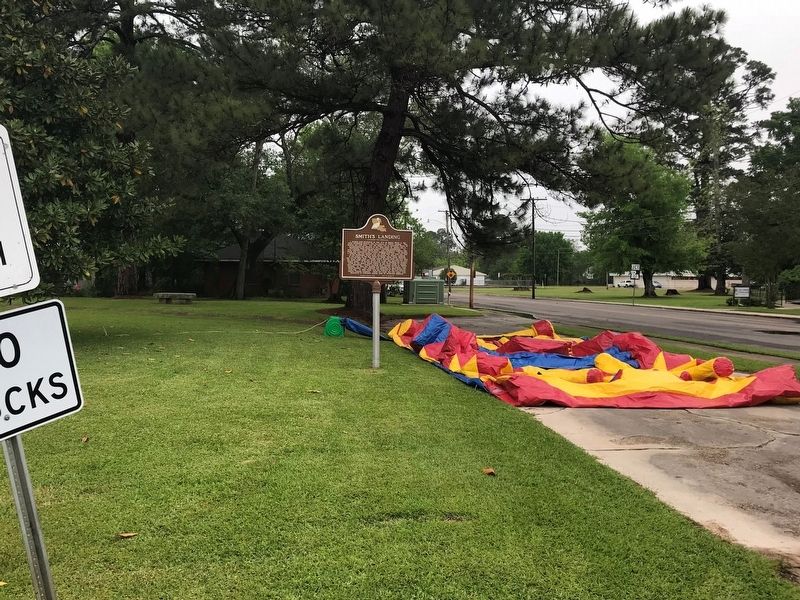
Location. 31° 5.161′ N, 92° 23.929′ W. Marker is in Lecompte, Louisiana, in Rapides Parish. Marker is on Hardy Street near Water Street, on the right when traveling south. Touch for map. Marker is at or near this postal address: 1704 Hardy Street, Lecompte LA 71346, United States of America. Touch for directions.
Other nearby markers. At least 8 other markers are within 7 miles of this marker, measured as the crow flies. Town of Lecompte (about 800 feet away, measured in a direct line); The Name Lecompte (approx. 0.2 miles away); Lecompte High School (approx. 0.4 miles away); Meeker Sugar Refinery Gears (approx. 0.4 miles away); Dr. Whitehead's Medical Office (approx. 0.4 miles away); Potter's Grocery (approx. 0.4 miles away); Epps House (approx. 6.2 miles away); a different marker also named Epps House (approx. 6.2 miles away). Touch for a list and map of all markers in Lecompte.
Credits. This page was last revised on February 25, 2024. It was originally submitted on April 8, 2018, by Cajun Scrambler of Assumption, Louisiana. This page has been viewed 646 times since then and 81 times this year. Photos: 1, 2. submitted on April 8, 2018.

