Goldfield in Esmeralda County, Nevada — The American Mountains (Southwest)
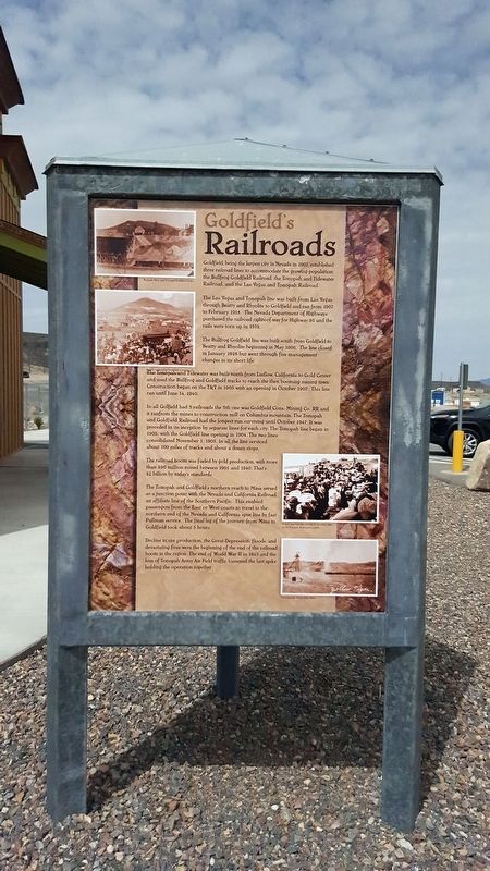
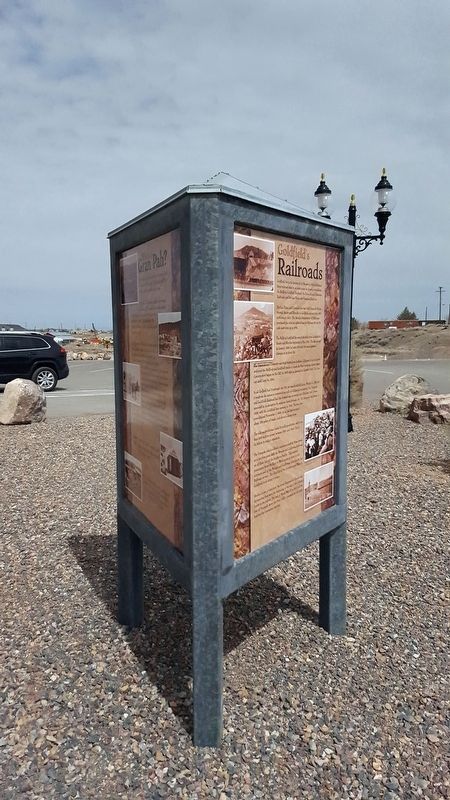
Goldfield’s Railroads
The Las Vegas and Tonopah line was built from Las Vegas through Beatty and Rhyolite to Goldfield and ran from 1907 to February 1918. The Nevada Department of Highways purchased the railroad rights-of-way for Highway 95 and the rails were torn up in 1919.
The Bullfrog Goldfield line was built south from Goldfield to Beatty and Rhyolite beginning in May 1906. The line closed in January 1928 but went through five management changes in its short life.
The Tonopah and Tidewater was built north from Ludlow, California to Gold Center and used the Bullfrog and Goldfield tracks to reach the then booming mining town. Construction began on the T&T in 1905 with an opening in October 1907. This line ran until June 14, 1940.
In all Goldfield had 5 railroads the 5th one was Goldfield Cons. Mining Co. RR and it ran from the mines to construction mill on Columbia mountain. The Tonopah and Goldfield Railroad has the longest run surviving until October 1947. It was preceded in its inception by separate lines for each city. The Tonopah line began in 1903, with the Goldfield line opening in 1904. The two lines consolidated November 1, 1905. In all the line serviced about 100 miles of tracks and about a dozen shops.
The railroad boom was fueled by gold production, with more than $90 million mined between 1901 and 1940. That's $2 billion by today's standards.
The Tonopah and Goldfield's northern reach to Mina served as a junction point with the Nevada and California Railroad, and affiliate line of the Southern Pacific. This enables passengers from the East or West coasts to travel to the northern end of Nevada and California spur line by fast Pullman service. The final leg of the journey from Mina to Goldfield took about 5 hours.
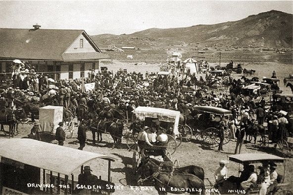
Decline in ore production, the Great Depression, floods, and devastating fires were the beginning of the end of the railroad boom in the region. The end of World War II in 1945 and the loss of Tonopah Army Air Field traffic loosened the last spike holding the operation together.
Erected by Goldfield Historical Society.
Topics. This historical marker is listed in this topic list: Railroads & Streetcars. A significant historical month for this entry is January 1928.
Location. 37° 42.565′ N, 117° 14.264′ W. Marker is in Goldfield, Nevada, in Esmeralda County. Touch for map. Marker is in this post office area: Goldfield NV 89013, United States of America. Touch for directions.
Other nearby markers. At least 8 other markers are within walking distance of this marker. Where’s Gran Pah? (here, next to this marker); Goldfield (a few steps from this marker); Consolidated Telephone – Telegraph Company Building (approx. 0.2 miles away); West Side Elementary School (approx. 0.2 miles away); California Beer Hall Warehouse (approx. 0.2 miles away); Goldfield Community Center (approx. ¼ mile away); Gans Vs. Nelson (approx. ¼ mile away); a different marker also named Goldfield (approx. ¼ mile away). Touch for a list and map of all markers in Goldfield.
Credits. This page was last revised on October 27, 2020. It was originally submitted on April 10, 2018, by Douglass Halvorsen of Klamath Falls, Oregon. This page has been viewed 249 times since then and 42 times this year. Photos: 1, 2, 3, 4. submitted on April 10, 2018, by Douglass Halvorsen of Klamath Falls, Oregon. • Andrew Ruppenstein was the editor who published this page.


