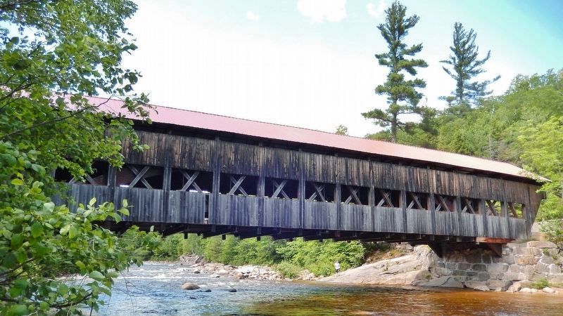
Albany in Carroll County, New Hampshire — The American Northeast (New England)
Cart Roads and Wagon Paths Connect a Community
Inscription.
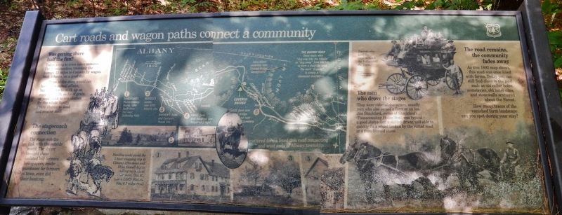
Today a trip to town takes minutes. For homesteaders, traveling the bumpy 15 miles to Conway by wagon took 3 hours, on a good day.
Trips to the store would not have been casual affairs, but a chance to stock up on supplies. 50 lb. sacks of grain or seed, cloth to sew clothes for the whole family, a rare chance to send and receive mail.
The stagecoach connection
The stage was the link with the outside world. The driver brought these isolated hill farmers newspapers, made purchases for farmers in town, even did their banking.
Families could avoid the 3 hour shopping trip to Conway after Amzi and Eliza Russell began selling supplies at their farm.
Tourists also used the stage to reach the Valley until the 1920s.
The men who drove the stages
They were colorful characters, usually men who also owned a farm or an inn. Jim Shackford, owner of Shackford’s Passaconaway House Inn, was typical – a good storyteller, a skilled driver, and able to quickly fix a wheel broken by the rutted road or a frost-heaved stone.
The road remains, the community fades away
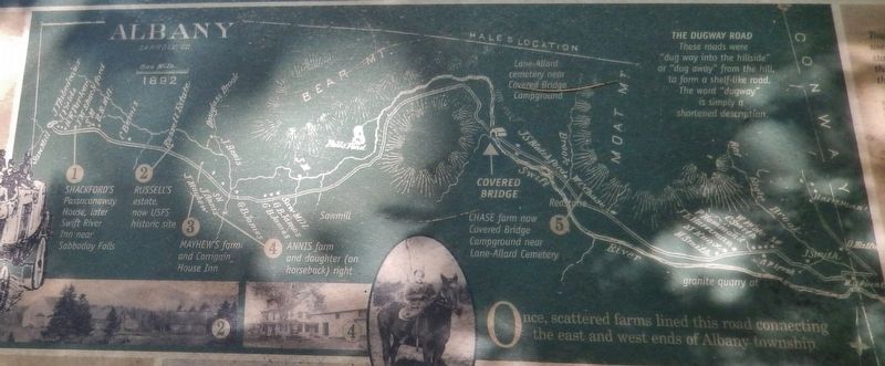
As this 1892 map shows, this road was once lined with farms. Today you can still find clues to the past such as old cellar holes cemeteries, old hotel sites, and stonewalls scattered about the Forest. How many traces of the vanished farm landscape can you spot during your stay?
Erected by Forest Service, U.S. Department of Agriculture.
Topics. This historical marker is listed in these topic lists: Roads & Vehicles • Settlements & Settlers.
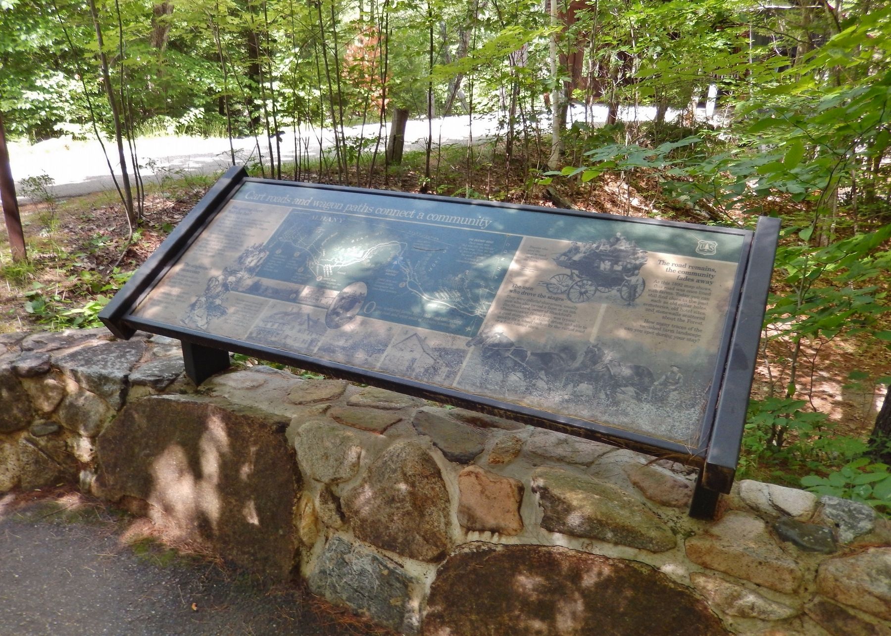
Location. 44° 0.339′ N, 71° 14.469′ W. Marker is in Albany, New Hampshire, in Carroll County. Marker is on Passaconaway Road east of Kancamagus Highway (New Hampshire Route 112), on the right when traveling east. Marker is located beside the road, near the Albany Covered Bridge. Touch for map. Marker is in this post office area: Conway NH 03818, United States of America. Touch for directions.
Other nearby markers. At least 8 other markers are within 7 miles of this marker, measured as the crow flies. How the Covered Bridge was Built (within shouting distance of this marker); Kancamagus Highway / Who was Kancamagus? (approx. 3.3 miles away); Bartlett, N.H. Veterans Memorial (approx. 5.4 miles away); Bartlett Snow Roller (approx. 5.4 miles away); Piece of Sawyer's Rock (approx. 5.4 miles away); Swift River Covered Bridge (approx. 6.2 miles away); Flanger CV 4233 (approx. 6.4 miles away); Roundhouse (approx. 6.4 miles away).
More about this marker. Marker is weathered and somewhat difficult to read.
Related markers.
Click here for a list of markers that are related to this marker. Albany Covered Bridge, Albany, New Hampshire
Also see . . . Albany, New Hampshire.
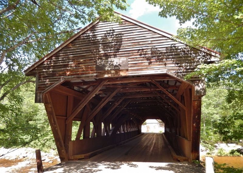
The community was first chartered in 1766 by Colonial Governor Benning Wentworth as Burton for General Jonathan Burton of Wilton. The town was incorporated and renamed Albany in 1833, when the New York Central Railroad from New York City to Albany, New York, was chartered. Albany includes Mount Chocorua and Mount Paugus, as well as the southeastern corner of the White Mountain National Forest. Albany is the entrance to the Mount Washington Valley, and features a 120-foot covered bridge that spans the Swift River just north of the Kancamagus Highway. (Submitted on April 12, 2018, by Cosmos Mariner of Cape Canaveral, Florida.)
Credits. This page was last revised on May 12, 2020. It was originally submitted on April 11, 2018, by Cosmos Mariner of Cape Canaveral, Florida. This page has been viewed 296 times since then and 20 times this year. Photos: 1, 2, 3, 4, 5. submitted on April 11, 2018, by Cosmos Mariner of Cape Canaveral, Florida. • Bill Pfingsten was the editor who published this page.
