Near Kensett in White County, Arkansas — The American South (West South Central)
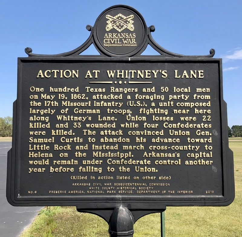
Action At Whitney's Lane
Front
One hundred Texas Rangers and 50 local men on May 19, 1862, attacked a foraging party from the 17th Missouri Infantry (U.S.), a unit composed largely of German troops, fighting near here along Whitney's Lane. Union losses were 22 killed and 33 wounded while four Confederates were killed. The attack convinced Union Gen. Samuel Curtis to abandon his advance toward Little Rock and instead march cross-country to Helena on the Mississippi. Arkansas's capital would remain under Confederate control another year before falling to the Union.
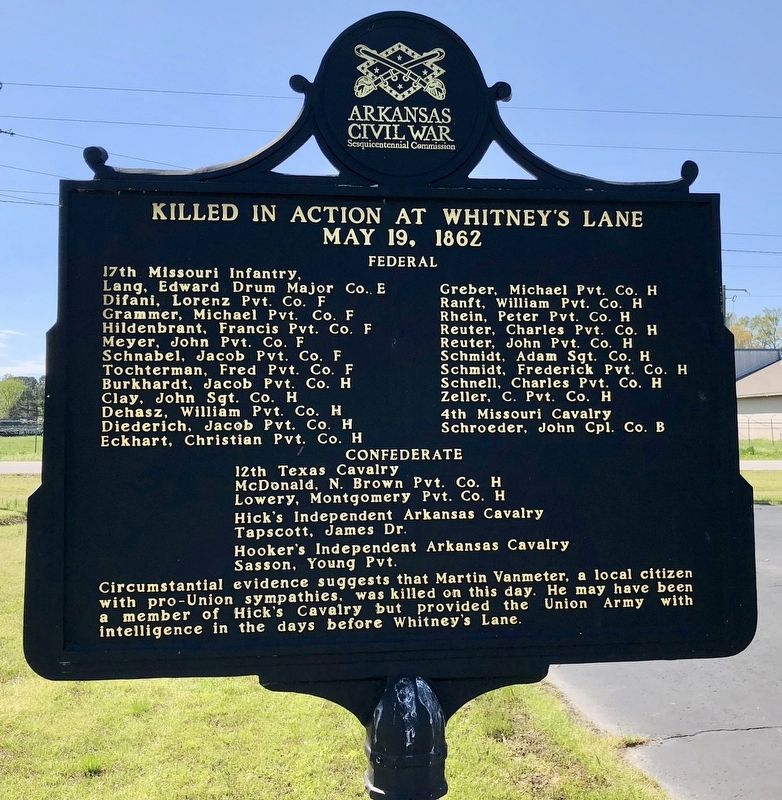
Rear
May 19, 1862
Federal
17th Missouri Infantry
Lang, Edward Drum Major Co. E • Greber, Michael Pvt. Co. H
Difani, Lorenz Pvt. Co. F • Ranft, William Pvt. Co. H
Grammer, Michael Pvt. Co. F • Rhein, Peter Pvt. Co. H
Hildenbrant, Francis, Pvt. Co. F • Reuter, Charles Pvt. Co. H
Meyer, John, Pvt. Co. F • Reuter, John Pvt. Co. H
Schnabel, Jacob Pvt. Co. F • Schmidt, Adam Sgt. Co. H
Tochterman, Fred Pvt. Co. F • Schmidt, Frederick Pvt. Co. H
Burkhardt, Jacob Pvt. Co. H • Schnell, Charles Pvt. Co. H
Clay, John Sgt. Co. H • Zeller, C. Pvt. Co. H
Dehasz, William Pvt. Co. H • 4th Missouri Cavalry
Diederich, Jacob Pvt. Co. H • Schroeder, John Cpl. Co. B
Eckhart, Christian Pvt. Co. H
Confederate
12th Texas Cavalry
McDonald, N. Brown Pvt. Co. H
Lowery, Montgomery Pvt. Co. H
Hick’s Independent Arkansas Cavalry
Tapscott, James Dr.
Hooker’s Independent Arkansas Cavalry
Sasson, Young Pvt.
Erected 2010 by Arkansas Civil War Sesquicentennial Commission, White County Historical Society, Preserve America, National Park Service, Department of the Interior. (Marker Number 6.)
Topics and series. This historical marker is listed in this topic list: War, US Civil. In addition, it is included in the Arkansas Civil War Sesquicentennial Commission series list. A significant historical date for this entry is May 19, 1862.
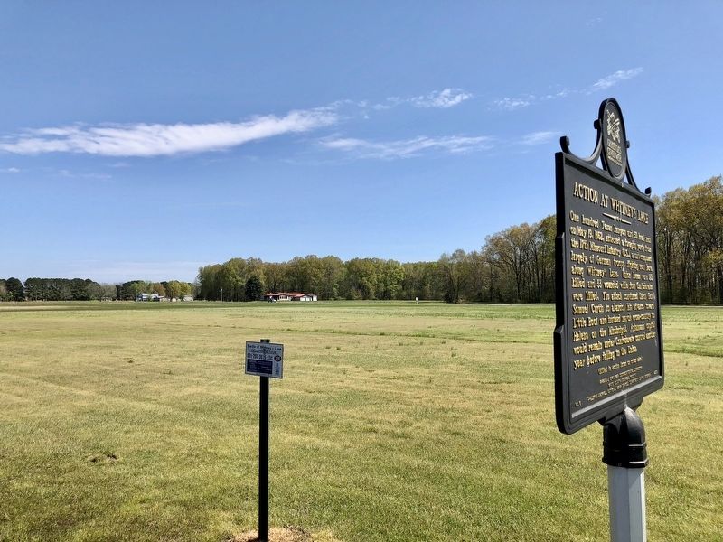
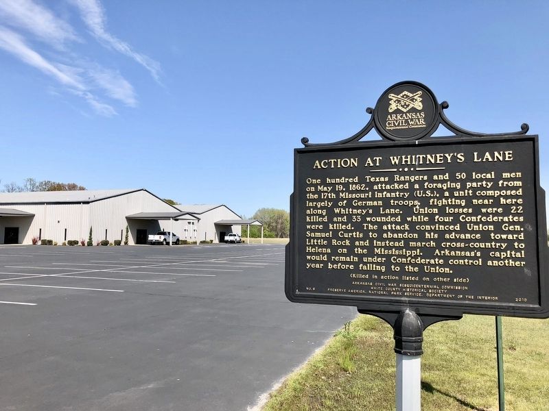
Location. 35° 14.768′ N, 91° 40.547′ W. Marker is near Kensett, Arkansas, in White County. Marker is on Sherman Way north of Whitney Lane, on the right when traveling north. Located in the parking lot of Whitney Lane Family Worship.
Touch for map. Marker is at or near this postal address: 1215 Whitney Lane, Kensett AR 72082, United States of America. Touch for directions.
Other nearby markers. At least 8 other markers are within 4 miles of this marker, measured as the crow flies. Searcy Landing in the Civil War / Guerrilla War on the Little Red (approx. 1.7 miles away); Spanish Land Grant to John Fayac (approx. 2.2 miles away); In Memory of the Defenders of the Union (approx. 3 miles away); Brig. Gen. Dandridge McRae (approx. 3.2 miles away); Benjamin Black House (approx. 3.4 miles away); A Walk Through History (approx. 3˝ miles away); White County Confederate Monument (approx. 3˝ miles away); White County Courthouse (approx. 3˝ miles away).
Credits. This page was last revised on September 4, 2020. It was originally submitted on April 12, 2018, by Mark Hilton of Montgomery, Alabama. This page has been viewed 587 times since then and 40 times this year. Photos: 1, 2, 3, 4. submitted on April 12, 2018, by Mark Hilton of Montgomery, Alabama.


