Moro in Lee County, Arkansas — The American South (West South Central)
Moro in the Civil War / Prelude to Helena
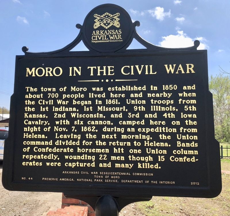
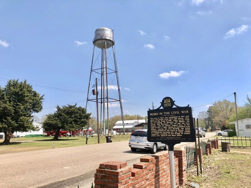
The town of Moro was established in 1850 and about 700 people lived here and nearby when the Civil War began in 1861. Union troops from the 1st Indiana, 1st Missouri, 9th Illinois, 5th Kansas, 2nd Wisconsin, and 3rd and 4th Iowa Cavalry, with six cannon, camped here on the night of Nov. 7, 1862, during an expedition from Helena. Leaving the next morning, the Union command divided for the return to Helena. Bands of Confederate horsemen hit one Union column repeatedly, wounding 22 men though 15 Confederates were captured and many killed.
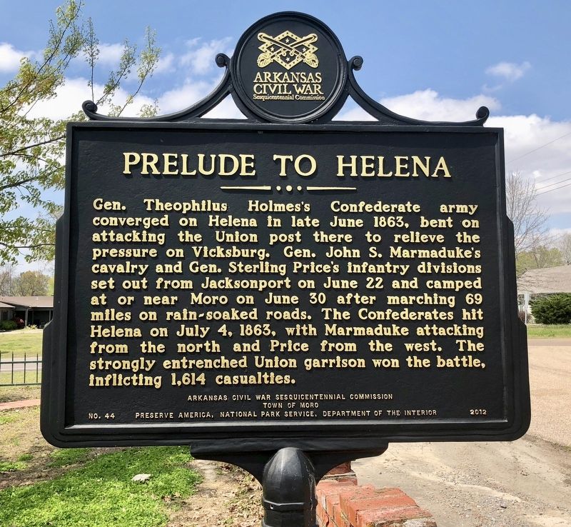
Gen. Theophilus Holmes's Confederate army converged on Helena in late June 1863, bent on attacking the Union post there to relieve the pressure on Vicksburg. Gen. John S. Marmaduke's cavalry and Gen. Sterling Price's infantry divisions set out from Jacksonport on June 22 and camped at or near Moro on June 30 after marching 69 miles on rain-soaked roads. The Confederates hit Helena on July 4, 1863, with Marmaduke attacking from the north and Price from the west. The strongly entrenched Union garrison won the battle, inflicting 1,614 casualties.
Erected 2012 by Arkansas Civil War Sesquicentennial Commission, Town of Moro, Preserve America, National Park Service, Department of the Interior. (Marker Number 44.)
Topics and series. This historical marker is listed in these topic lists: Settlements & Settlers • War, US Civil. In addition, it is included in the Arkansas Civil War Sesquicentennial Commission series list. A significant historical month for this entry is June 1863.
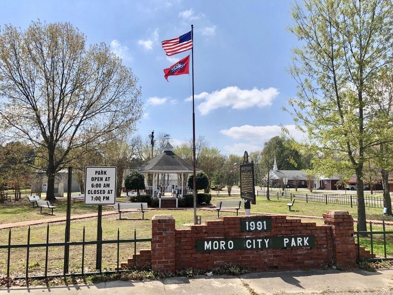
Location. 34° 47.736′ N, 90° 59.456′ W. Marker is in Moro, Arkansas, in Lee County. Marker is at the intersection of Front Street and South Main Street, on the right when traveling east on Front Street. Located in Moro-City Park. Touch for map. Marker is at or near this postal address: 100 Front Street, Moro AR 72368, United States of America. Touch for directions.
Other nearby markers. At least 8 other markers are within 11 miles of this marker, measured as the crow flies. The Opening of the American West (approx. 10.9 miles away); Initial Point of the Louisiana Purchase Survey (approx. 10.9 miles away); Two Lines Mark the Future of the United States (approx. 10.9 miles away); The Survey: 1815 (approx. 11 miles away); Louisiana Purchase State Park (approx. 11 miles away); The Swamp (approx. 11 miles away); Louisiana Territory: 1682-1800 (approx. 11 miles away); The Purchase: 1801-1803 (approx. 11 miles away).
Credits. This page was last revised on April 13, 2018. It was originally submitted on April 13, 2018, by Mark Hilton of Montgomery, Alabama. This page has been viewed 361 times since then and 22 times this year. Photos: 1, 2, 3, 4. submitted on April 13, 2018, by Mark Hilton of Montgomery, Alabama.


