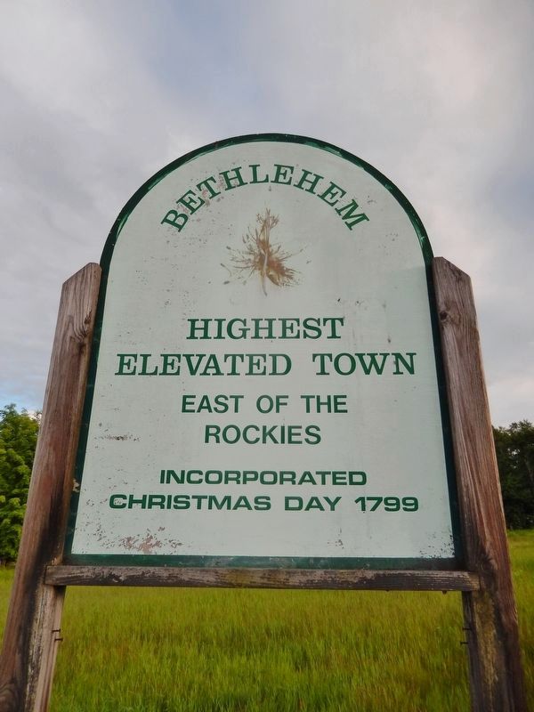
Bethlehem in Grafton County, New Hampshire — The American Northeast (New England)
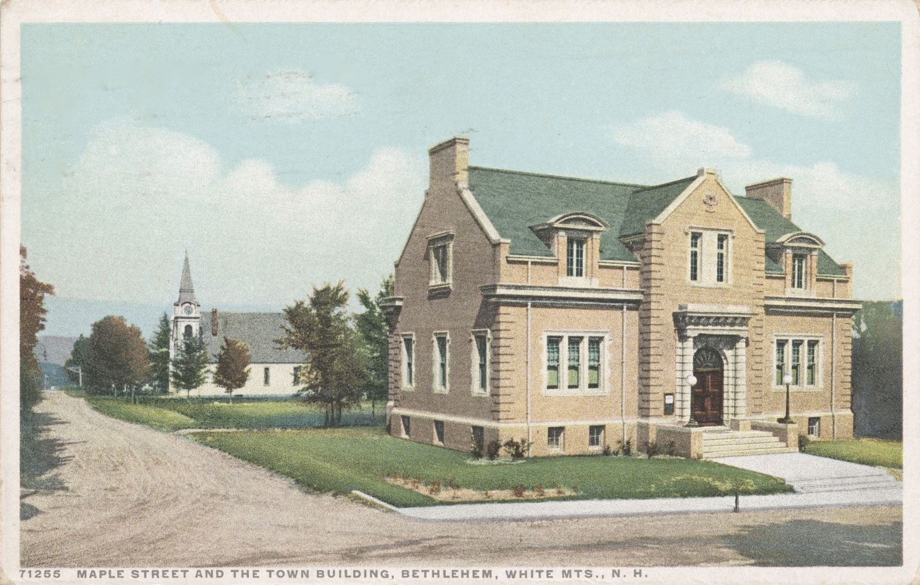
Town Building
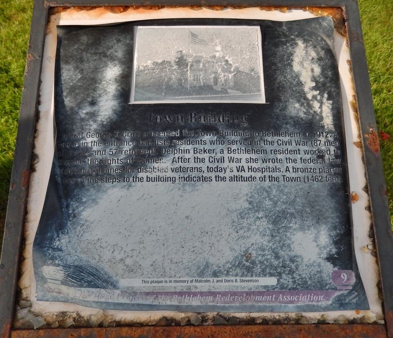
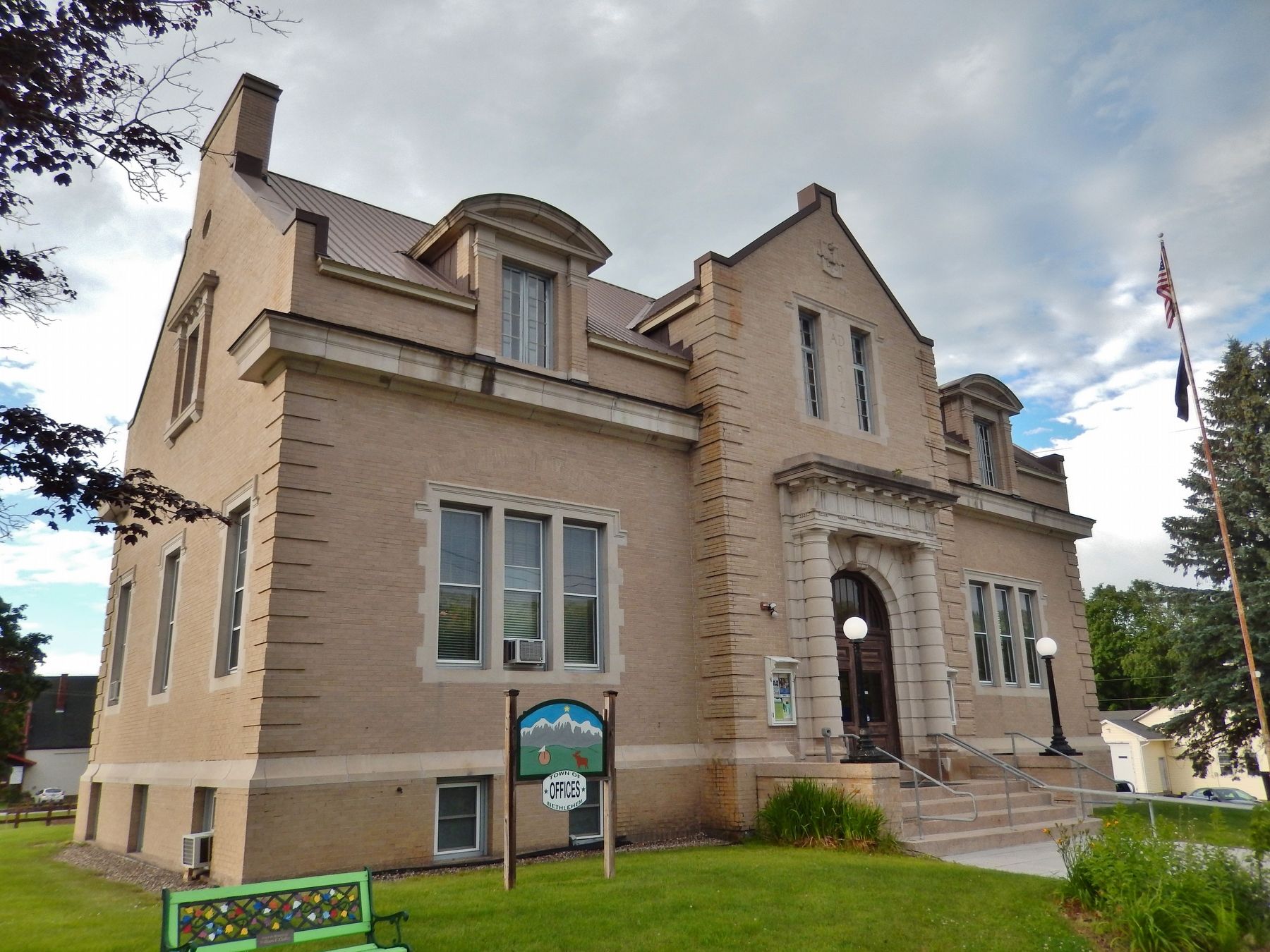
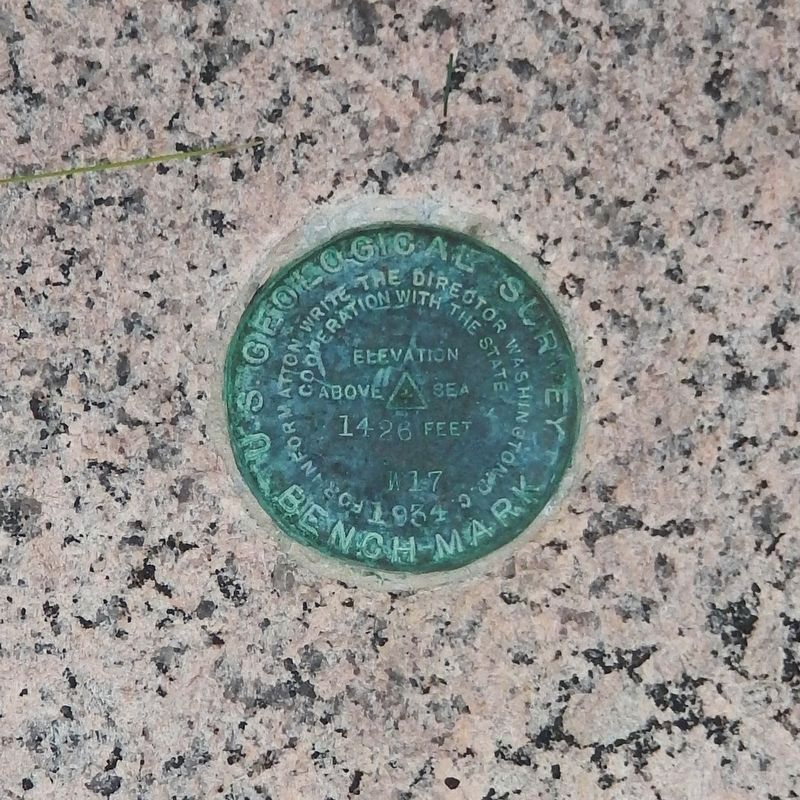
General George T. Cruft presented the Town Building to Bethlehem in 1912. A plaque in the entrance hall lists residents who served in the Civil War (87 men left home and 57 returned). Delphin Baker, a Bethlehem resident worked to advance the rights of women. After the Civil War she wrote the federal law establishing homes for disabled veterans, today’s VA Hospitals. A bronze plaque on one of the steps to the building indicates the altitude of the Town (1462 feet).
Erected by Bethlehem Redevelopment Association.
Topics. This historical marker is listed in these topic lists: War, US Civil • Women. A significant historical year for this entry is 1912.
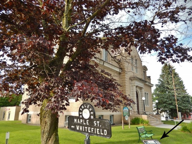
Location. 44° 16.824′ N, 71° 41.222′ W. Marker is in Bethlehem, New Hampshire, in Grafton County. Marker is at the intersection of Main Street (U.S. 302) and Maple Street (New Hampshire Route 142), on the right when traveling west on Main Street. Marker is located on the grounds of the Bethlehem Town Hall, at the intersection near the southwest corner of the building. Touch for map. Marker is at or near this postal address: 2155 Main Street, Bethlehem NH 03574, United States of America. Touch for directions.
Other nearby markers. At least 8 other markers are within 4 miles of this marker, measured as the crow flies. Site of Sinclair Hotel (about 300 feet away, measured in a direct line); Jodo Karate (about 300 feet away); Sinclair Lodge (about 600 feet away); Angel of the Mountains (approx. ¼ mile away); Fanny’s Little Playhouse (approx. 2.4 miles away); Frances Glessner Lee (approx. 2.4 miles away); Pierce Bridge (approx. 2.8 miles away); Alderbrook (approx. 3.3 miles away). Touch for a list and map of all markers in Bethlehem.
More about this marker. Marker is severely weathered and somewhat difficult to read.
Also see . . . Bethlehem, New Hampshire. Wikipedia entry (Submitted on June 1, 2023, by Larry Gertner of New York, New York.)
Credits. This page was last revised on June 1, 2023. It was originally submitted on April 17, 2018, by Cosmos Mariner of Cape Canaveral, Florida. This page has been viewed 322 times since then and 45 times this year. Photos: 1, 2, 3, 4, 5. submitted on April 17, 2018, by Cosmos Mariner of Cape Canaveral, Florida. 6. submitted on April 17, 2018. • Andrew Ruppenstein was the editor who published this page.
