Jacksonville in Pulaski County, Arkansas — The American South (West South Central)
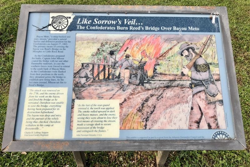
Like Sorrow's Veil...
The Confederates Burn Reed's Bridge Over Bayou Meto
Bayou Meto, "a steep-banked and miry stream," provided a natural barrier and defensive position for the Confederates on August 27, 1863. The primary means of crossing the bayou was Reed's Bridge on the Memphis to Little Rock Road. As the Confederates prepared for battle, Captain John Mhoon coated the bridge with tar and other flammable materials, in case the southern forces were forced to retreat to the south bank of Bayou Meto.
As the Confederates were flanked from their positions to the north, they streamed across the bridge to establish new firing lines. As the last men crossed, Mhoon set fire to Reed's Bridge.
"The attack was renewed on the 27th, and the enemy driven from his work on the bayou, and fired the bridge as he retreated. Davidson was unable to save the bridge, everything having been prepared for its destruction beforehand. The bayou was deep and miry, and the pursuit of the rebels being thus checked, Davidson withdrew to his camp at Brownsville..."
Charles H. Lothrop, Surgeon
First Iowa Cavalry Regiment
"As the last of the rear-guard crossed it, the torch was applied. The smoke rolled upward in dark and heavy masses, and the enemy seeing they were about to lose their best means of crossing the stream, made a savage dash to secure possession of the bridge and extinguish the flames."
John Newman Edwards, C.S.A
Erected by the Arkansas Humanities Council and the Department of Arkansas Heritage, the Arkansas Historic Preservation.
Topics. This historical marker is listed in this topic list: War, US Civil. A significant historical date for this entry is August 27, 1863.
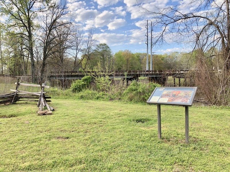
Location. 34° 50.629′ N, 92° 7.328′ W. Marker is in Jacksonville, Arkansas, in Pulaski County. Marker can be reached from South First Street (Arkansas Route 161) north of Lakeshore Drive, on the right when traveling north. Located within the Reed's Bridge Battlefield Heritage Park. Touch for map. Marker is at or near this postal address: South First Street, Jacksonville AR 72076, United States of America. Touch for directions.
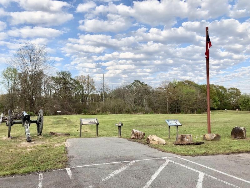
Other nearby markers. At least 8 other markers are within walking distance of this marker. The Little Rock Campaign (within shouting distance of this marker); The Little Rock Campaign (within shouting distance of this marker); The Defense of the Ford (about 400 feet away, measured in a direct line); Thunder on Bayou Meto (about 700 feet away); Marmaduke-Walker Duel (about 700 feet away); Brother Against Brother (approx. ¼ mile away); A Gallant Charge (approx. ¼ mile away); Our Batteries Opened a Tremendous Fire (approx. 0.4 miles away). Touch for a list and map of all markers in Jacksonville.
Also see . . . The Battle of Bayou Meto (August 27, 1863), also known as the Battle of Reed's Bridge
. Wikipedia entry (Submitted on April 17, 2018, by Mark Hilton of Montgomery, Alabama.)
Additional keywords. Like Sorrow's Veil...
Credits. This page was last revised on April 25, 2021. It was originally submitted on April 17, 2018, by Mark Hilton of Montgomery, Alabama. This page has been viewed 225 times since then and 16 times this year. Photos: 1, 2, 3. submitted on April 17, 2018, by Mark Hilton of Montgomery, Alabama.


