Ilwaco in Pacific County, Washington — The American West (Northwest)
An Evolving Playground
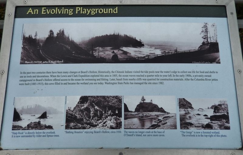
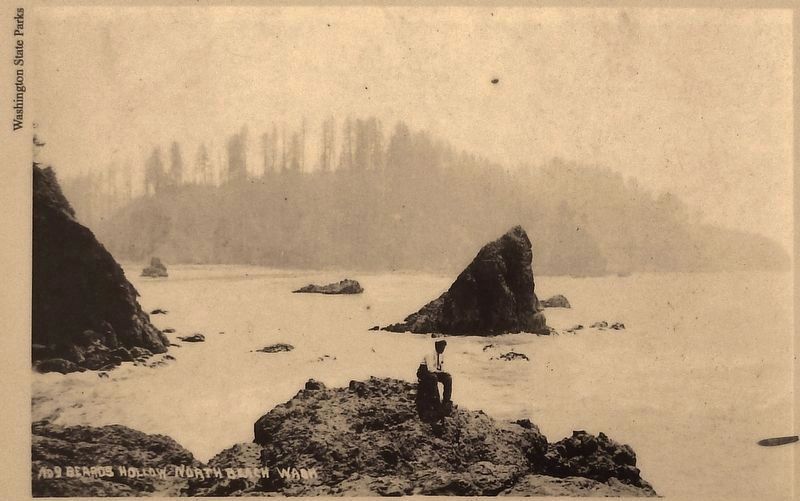
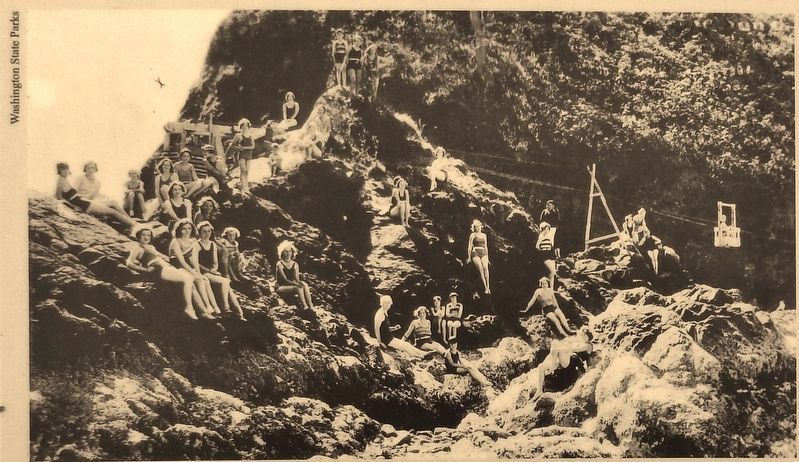
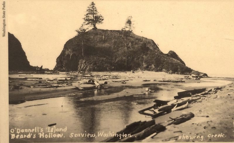
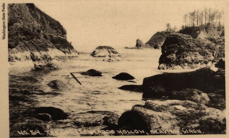
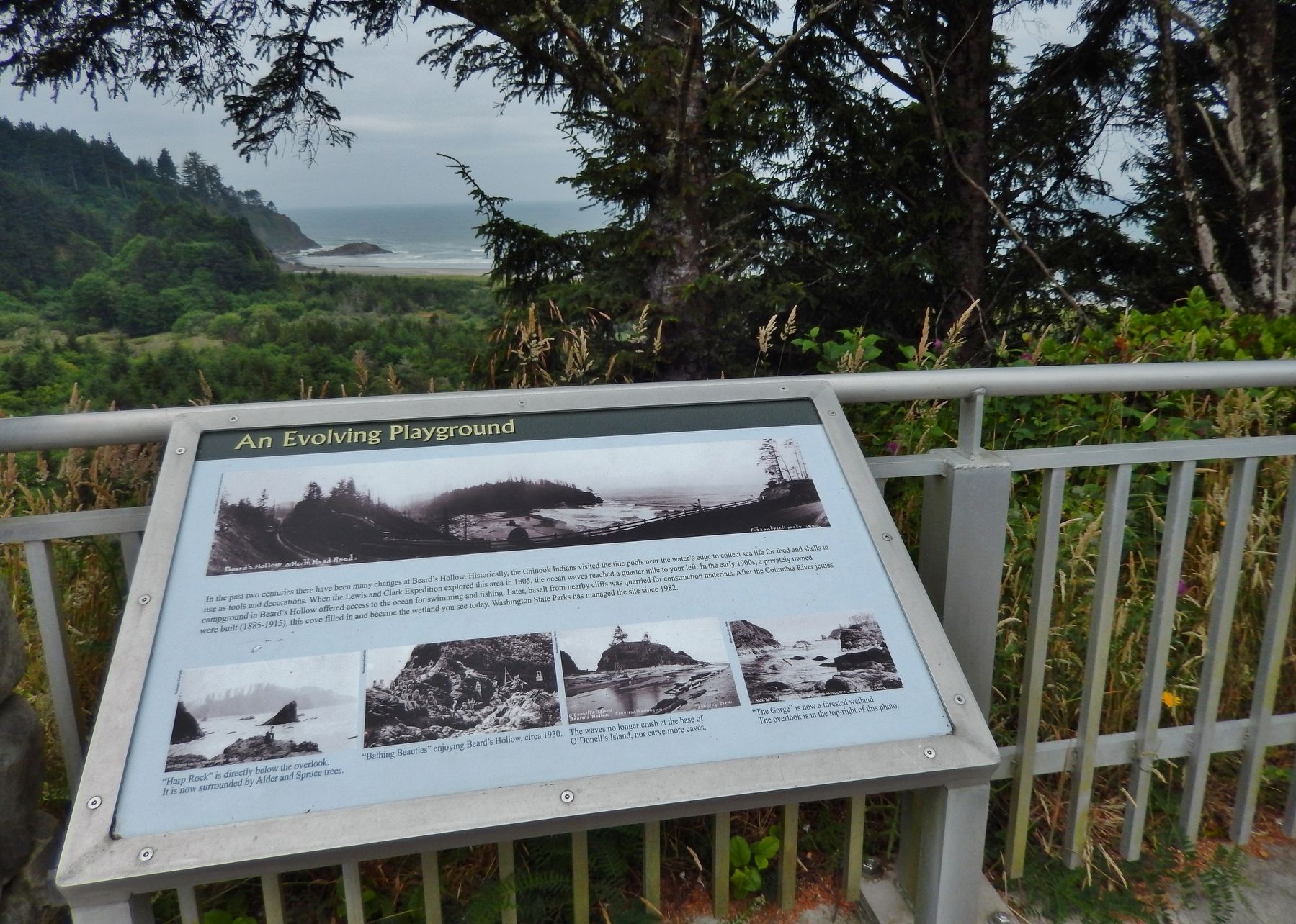
In the past two centuries there have been many changes at Beard's Hollow. Historically, the Chinook Indians visited the tide pools near the water's edge to collect sea life for food and shells to use as tools and decorations. When the Lewis and Clark Expedition explored this area in 1805, the ocean waves reached a quarter mile to your left. In the early 1900s, a privately owned campground in Beard's Hollow offered access to the ocean for swimming and fishing. Later, basalt from nearby cliffs was quarried for construction materials. After the Columbia River jetties were built (1885-1915), this cove filled in and became the wetland you see today. Washington State Parks has managed the site since 1982.
Topics. This historical marker is listed in these topic lists: Exploration • Native Americans • Parks & Recreational Areas.
Location. 46° 18.58′ N, 124° 3.912′ W. Marker is in Ilwaco, Washington, in Pacific County. Marker is on North Head Road, 1.6 miles north of Robert Gray Drive (Washington Route 100), on the left when traveling north. Marker is located near the center of Beard's Hollow Viewpoint overlook. Touch for map. Marker is at or near this postal address: 801 North Head Road, Ilwaco WA 98624, United States of America. Touch for directions.
Other nearby markers. At least 8 other markers are within 8 miles of this marker, measured as the crow flies. A Disastrous Year (a few steps from this marker); Life of a Lighthouse Keeper (approx. one mile away); Clamshell Railroad Driving Tour (approx. 1.1 miles away); Keeping Pace with Technology (approx. 2.2 miles away); Fort Canby (approx. 2.2 miles away); Lewis and Clark Trail (approx. 2.3 miles away); Cape Disappointment Lighthouse (approx. 2.4 miles away); Fort Columbia (approx. 7.9 miles away). Touch for a list and map of all markers in Ilwaco.
Also see . . . Beards Hollow.
Beards Hollow is located at Cape Disappointment on the Washington Coast, north of the North Head Lighthouse. Beards Hollow was named after Captain E.N. Beard whose ship, the bark Vandalia, met disaster off the mouth of the Columbia River in 1853. The crew was lost and Captain Beard's body was found on the beach near the hollow. (Submitted on April 19, 2018, by Cosmos Mariner of Cape Canaveral, Florida.)
Credits. This page was last revised on April 19, 2018. It was originally submitted on April 19, 2018, by Cosmos Mariner of Cape Canaveral, Florida. This page has been viewed 216 times since then and 16 times this year. Photos: 1, 2, 3, 4, 5, 6. submitted on April 19, 2018, by Cosmos Mariner of Cape Canaveral, Florida. • Andrew Ruppenstein was the editor who published this page.
