Grays River in Wahkiakum County, Washington — The American West (Northwest)
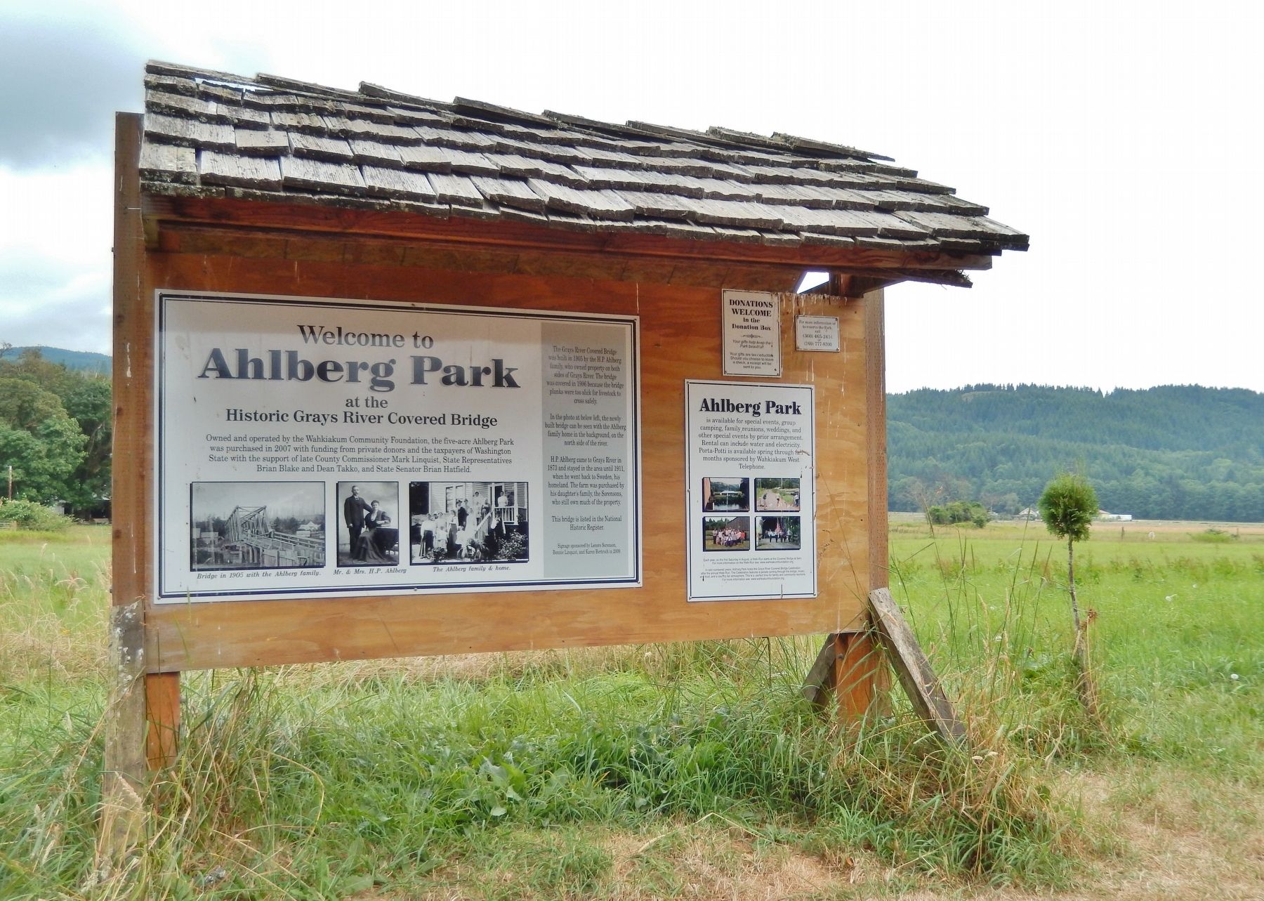
Ahlberg Park
At the Historic Grays River Covered Bridge
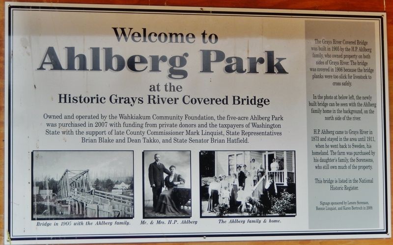
Owned and operated by the Wahkiakum Community Foundation, the five-acre Ahlberg Park was purchased in 2007 with funding from private donors and the taxpayers of Washington State with the support of late County Commissioner Mark Linguist, State Representatives Brian Blake and Dean Takko, and State Senator Brian Hatfield.
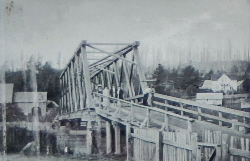
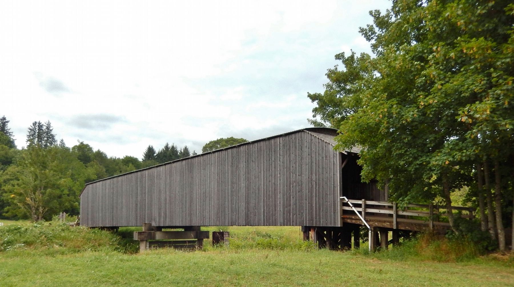
The Grays River Covered Bridge was built in 1905 by the H.P. Ahlberg family, who owned property on both sides of Grays River. The bridge was covered in 1906 because the bridge planks were too slick for livestock to cross safely.
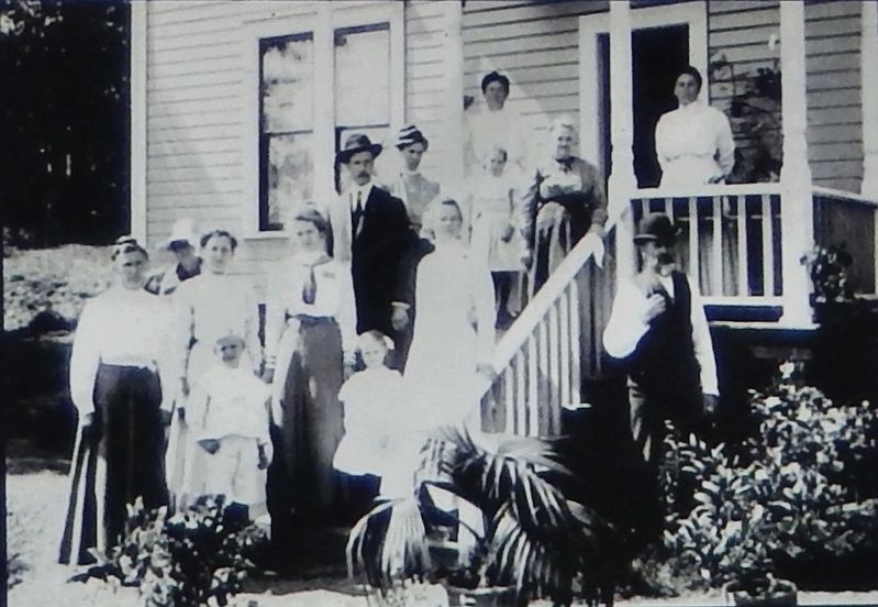
In the photo at below left, the newly built bridge can be seen with the Ahlberg family home in the background, on the north side of the river.
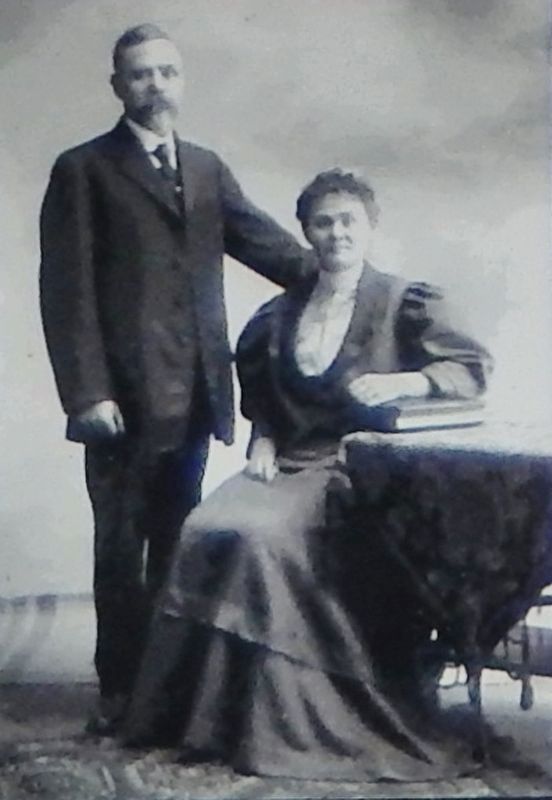
H.P. Ahlberg came to Grays River in 1873 and stayed in the area until 1911, when he went back to Sweden, his homeland. The farm was purchased by his daughter's family, the Sorensons, who still own much of the property.
This bridge is listed in the National Historic Register.
Erected 2009 by Lenore Sorenson, Bonnie Linguist, and Karen Bertroch.
Topics and series. This historical marker is listed in these topic lists: Bridges & Viaducts • Man-Made Features • Parks & Recreational Areas. In addition, it is included in the Covered Bridges series list. A significant historical year for this entry is 1905.
Location. 46° 21.268′ N, 123° 34.857′ W. Marker is in Grays River, Washington, in Wahkiakum County. Marker is on Covered Bridge Road, 0.1 miles south of Loop Road, on the right when traveling south. Marker and subject park are located near the south entrance to the Grays River Covered Bridge, just before crossing Grays River on the bridge. Access to Loop Road and Covered Bridge Road is south from Washington State Highway 4, about 1/4 mile east of Fairview Road. Touch for map. Marker is in this post office area: Grays River WA 98621, United States of America. Touch for directions.
Other nearby markers. At least 5 other markers are within 15 miles of this marker, measured as the crow flies. Grays River Covered Bridge (about 300 feet away, measured in a direct line); The Columbia's Estuary (approx. 13.8 miles away in Oregon); The Lewis and Clark Expedition (approx. 13.8 miles away in Oregon); Cathlamet (approx. 14.1 miles away); "Captain" John West and Westport, Oregon (approx. 14.4 miles away in Oregon).
More about this marker. Marker is a large "poster-style" presentation, mounted at eye-level on a roofed kiosk.
Related markers.
Click here for a list of markers that are related to this marker. Grays River Covered Bridge
Also see . . .
1. Hans Ahlberg Promotes a Bridge.
Led by Hans P. Ahlberg (1842-1934), a Swedish immigrant and community leader who had founded the Grays River Grange in 1901, local grange members and farmers lobbied Wahkiakum County commissioners to build a bridge that would allow carriages and wagons to cross the river. The bridge crossed the river about a mile and a half east of the community of Grays River, on land owned by Ahlberg just down the hill from his homestead and farmhouse. Much of the work was done by local residents whose labor counted toward their tax assessments, a common practice in the early 1900s. (Submitted on April 19, 2018, by Cosmos Mariner of Cape Canaveral, Florida.)
2. Grays River Covered Bridge.
The bridge received a major restoration and reconstruction in 1988. In disrepair and at risk of being torn down, residents worked to raise funds for restoration. The bridge is the centerpiece of Ahlberg Park which has been managed by the Grays River Grange since 2011, and is the site of an annual Covered Bridge Festival. (Submitted on April 19, 2018, by Cosmos Mariner of Cape Canaveral, Florida.)
3. Grays River Covered Bridge.
The Gray’s River Covered Bridge was lobbied for by dairy farmer Hans P. Ahlberg in 1905. The county agreed to build it at a cost of $2615.00. Ahlberg owned land on both sides of the river and needed to get a way to get wagon traffic across. An tin roof and cedar siding were added in 1908 (note the sign next to the bridge says 1906) to protect the bridge from the rain and weather. Cedar shingle porches were added in 1915 to protect the entrances. The bridge supplemented an existing swinging bridge that the family had previously built across the river and served Ahlberg and his neighbors quite successfully. (Submitted on April 19, 2018, by Cosmos Mariner of Cape Canaveral, Florida.)
Credits. This page was last revised on April 19, 2018. It was originally submitted on April 19, 2018, by Cosmos Mariner of Cape Canaveral, Florida. This page has been viewed 519 times since then and 86 times this year. Photos: 1, 2, 3, 4, 5, 6. submitted on April 19, 2018, by Cosmos Mariner of Cape Canaveral, Florida. • Andrew Ruppenstein was the editor who published this page.
