Jacksonville in Pulaski County, Arkansas — The American South (West South Central)
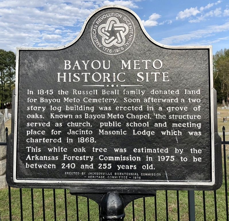
Bayou Meto Historic Site
This white oak tree was estimated by the Arkansas Forestry Commission in 1975 to be between 240 and 255 years old.
Erected 1976 by Jacksonville Bicentennial Commission - Heritage Committee.
Topics. This historical marker is listed in these topic lists: Cemeteries & Burial Sites • Churches & Religion. A significant historical year for this entry is 1845.
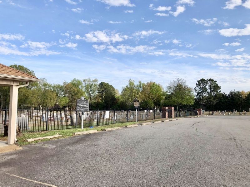
Location. 34° 52.835′ N, 92° 6.54′ W. Marker is in Jacksonville, Arkansas, in Pulaski County. Marker is at the intersection of North First Street (State Highway 161) and Gregory Place, on the right when traveling north on North First Street. Located in the Bayou Meto Cemetery parking lot. Touch for map. Marker is at or near this postal address: 1588 North First Street, Jacksonville AR 72076, United States of America. Touch for directions.
Other nearby markers. At least 8 other markers are within 2 miles of this marker, measured as the crow flies. Bayou Metre Hornets (here, next to this marker); Civil War Soldiers Buried at Bayou Meto Cemetery (within shouting distance of this marker); C-130E (approx. 0.6 miles away); Jacksonville, Arkansas (approx. one mile away); First Jacksonville School (approx. 1.1 miles away); Governor Homer M. Adkins (approx. 1.1 miles away); Veterans Memorial (approx. 1.2 miles away); Arkansas Ordnance Plant (AOP) (approx. 1.2 miles away). Touch for a list and map of all markers in Jacksonville.
Credits. This page was last revised on September 10, 2022. It was originally submitted on April 20, 2018, by Mark Hilton of Montgomery, Alabama. This page has been viewed 378 times since then and 46 times this year. Photos: 1, 2. submitted on April 20, 2018, by Mark Hilton of Montgomery, Alabama.

