Sharon Springs in Schoharie County, New York — The American Northeast (Mid-Atlantic)
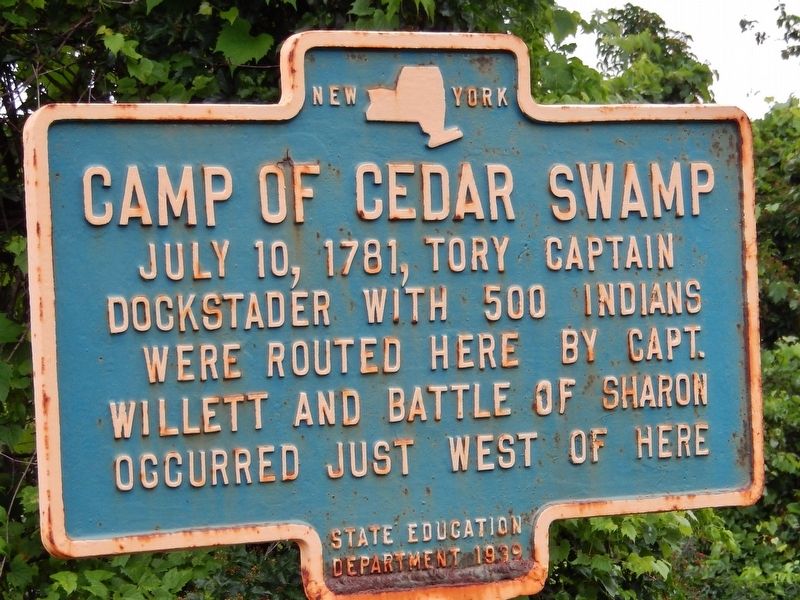
Camp of Cedar Swamp
Dockstader with 500 Indians
were routed here by Capt.
Willett and Battle of Sharon
occurred just west of here
Erected 1939 by New York State Education Department.
Topics. This historical marker is listed in these topic lists: Native Americans • War, US Revolutionary. A significant historical date for this entry is July 10, 1787.
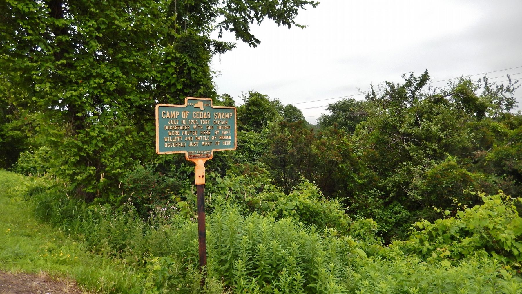
Location. 42° 46.912′ N, 74° 35.586′ W. Marker is in Sharon Springs, New York, in Schoharie County. Marker is on U.S. 20, 0.1 miles west of Gilberts Corners Road (County Route 34), on the right when traveling west. Marker is near the highway, on the north side, but can be difficult to see in the summer due to surrounding trees, shrubs, vines and weeds. Touch for map. Marker is in this post office area: Sharon Springs NY 13459, United States of America. Touch for directions.
Other nearby markers. At least 8 other markers are within 2 miles of this marker, measured as the crow flies. Historic Main Street Tour (approx. 1.4 miles away); a different marker also named Historic Main Street Tour (approx. 1.4 miles away); The American Hotel (approx. 1˝ miles away); a different marker also named Historic Main Street Tour (approx. 1˝ miles away); a different marker also named Historic Main Street Tour (approx. 1˝ miles away); a different marker also named Historic Main Street Tour (approx. 1.6 miles away); The Lehman Block (approx. 1.6 miles away); a different marker also named Historic Main Street Tour (approx. 1.6 miles away). Touch for a list and map of all markers in Sharon Springs.
Also see . . . The Battle of Sharon Springs Swamp.
Once Doxtader entered the trap, Willett ordered his men to open fire. The devastating fire tore into Doxtader's men. McKean then hit Doxtader's flank while Willett ordered the rest of his men forward "with bullet and bayonet." Doxtader was able to offer some resistance but not for long. He soon broke contact and fled the area, leaving his dead and wounded and the plunder from Currytown. Of the American wounded, McKean was mortally wounded, dying a few days later. (Submitted on April 24, 2018, by Cosmos Mariner of Cape Canaveral, Florida.)
Credits. This page was last revised on April 25, 2018. It was originally submitted on April 24, 2018, by Cosmos Mariner of Cape Canaveral, Florida. This page has been viewed 833 times since then and 52 times this year. Photos: 1, 2. submitted on April 24, 2018, by Cosmos Mariner of Cape Canaveral, Florida. • Andrew Ruppenstein was the editor who published this page.

