Near White Hall in Lowndes County, Alabama — The American South (East South Central)
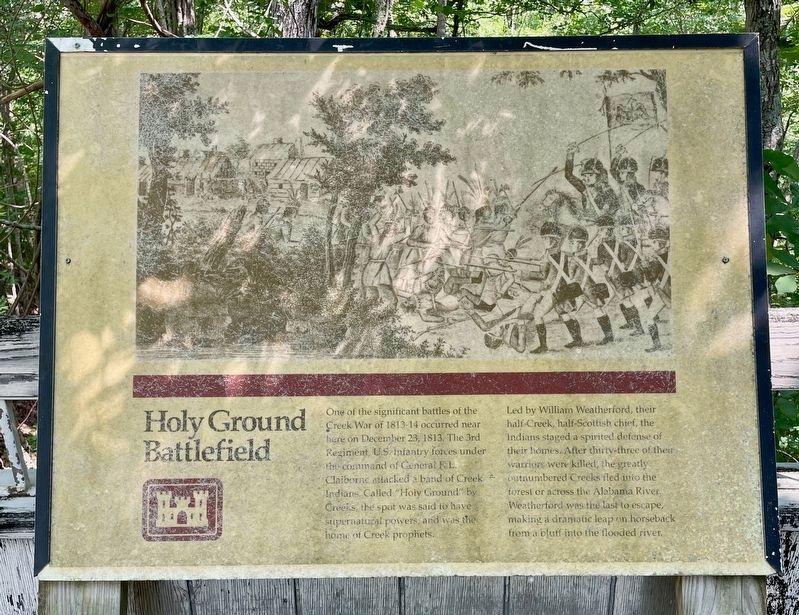
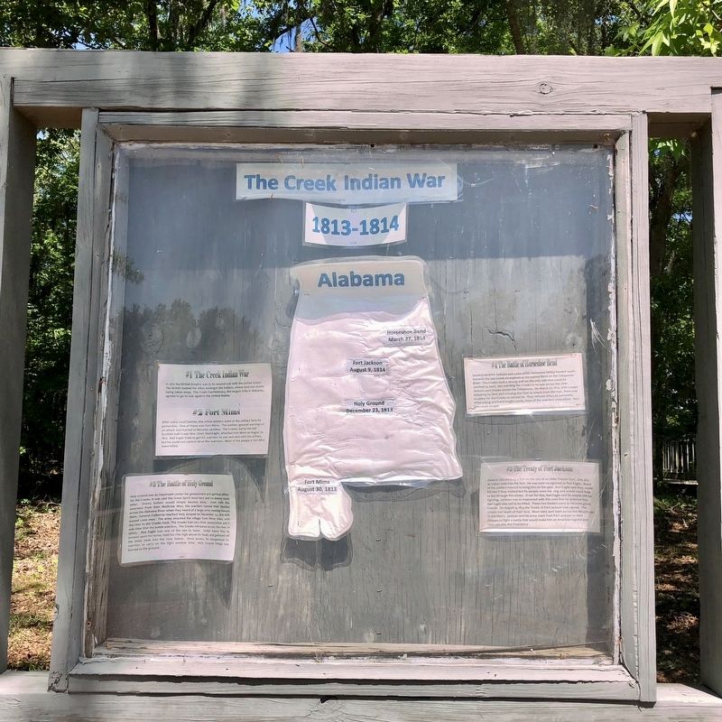
Holy Ground Battlefield
Led by William Weatherford, their half-Creek, half-Scottish chief, the Indians staged a spirited defense of their homes. After thirty-three of their warriors were killed, the greatly outnumbered Creeks fled into the forest or across the Alabama River. Weatherford was the last to escape, making a dramatic leap on horseback from a bluff into the flooded river.
Erected by U.S. Army Corps of Engineers.
Topics. This historical marker is listed in these topic lists: Parks & Recreational Areas • Wars, US Indian. A significant historical date for this entry is December 23, 1813.
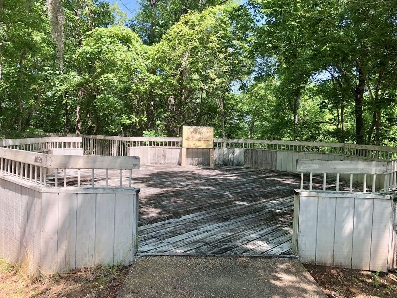
Location. 32° 21.255′ N, 86° 41.617′ W. Marker is near White Hall, Alabama, in Lowndes County. Marker can be reached from Holy Ground Road, 2.3 miles north of Jones Bluff Road (County Road 40). Take the first left, just after the gate shack, to the picnic area near the Alabama River. Touch for map. Marker is at or near this postal address: Holy Ground Rd, Lowndesboro AL 36752, United States of America. Touch for directions.
Other nearby markers. At least 8 other markers are within 7 miles of this marker, measured as the crow flies. Albert J. Pickett (approx. 5.6 miles away); Autaugaville (approx. 5.8 miles away); Campsite 2 (approx. 6 miles away); A Price Paid (approx. 6.1 miles away); You Gotta Move (approx. 6.1 miles away); After the March—Tent City (approx. 6.1 miles away); It Started in Selma (approx. 6.1 miles away); No Isolated Incident (approx. 6.1 miles away). Touch for a list and map of all markers in White Hall.
Also see . . . The Battle of Holy Ground - White Hall, Alabama. (Submitted on April 28, 2018, by Mark Hilton of Montgomery, Alabama.)
Credits. This page was last revised on May 28, 2023. It was originally submitted on April 28, 2018, by Mark Hilton of Montgomery, Alabama. This page has been viewed 576 times since then and 46 times this year. Photos: 1. submitted on May 28, 2023, by Mark Hilton of Montgomery, Alabama. 2, 3. submitted on April 28, 2018, by Mark Hilton of Montgomery, Alabama.


