Stony Point in Rockland County, New York — The American Northeast (Mid-Atlantic)
King’s Ferry
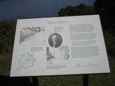
In early June 1779, at Verplanck’s Point, 70 North Carolina soldiers defended Fort Lafayette against British attack. That night, enemy artillerymen strained to haul several cannon to the summit of Stony Point. By dawn, they were bombarding the small American fort, which surrendered after only a few hours’ resistance.
“We are masters of King’s Ferry,” wrote Sir George Collier, Commodore of the Royal Navy in North America, “and oblige the rebels to make a detour of ninety miles across the mountains …. ”
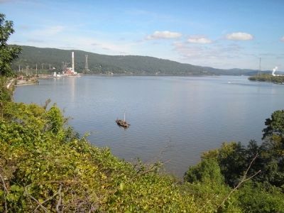
In September 1780, Major John Andre crossed at King’s Ferry in a futile attempt to return to British lines after conspiring with Benedict Arnold. The ferry also played a role in the last major battle of the war when a combined force of American and French troops made the river crossing on the way to Yorktown, Virginia. On August 20-21, 1781, 2500 American soldiers were ferried across; 3500 French troops, under Comte De Rochambeau, completed their crossing on August 25.
Erected by Stony Point Battlefield State Historic Site.
Topics. This historical marker is listed in these topic lists: Notable Events • Notable Places • War, US Revolutionary. A significant historical date for this entry is June 22, 1779.
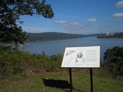
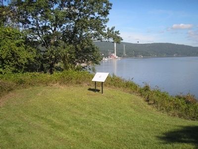
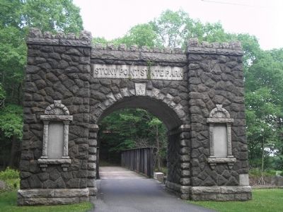
Location. Marker has been permanently removed. It was located near 41° 14.571′ N, 73° 58.53′ W. Marker was in Stony Point, New York, in Rockland County. Marker was on Stony Point Park Road, on the left when traveling east. The marker is on a trail located behind the Stony Point museum. Touch for map. Marker was in this post office area: Stony Point NY 10980, United States of America.
We have been informed that this sign or monument is no longer there and will not be replaced. This page is an archival view of what was.
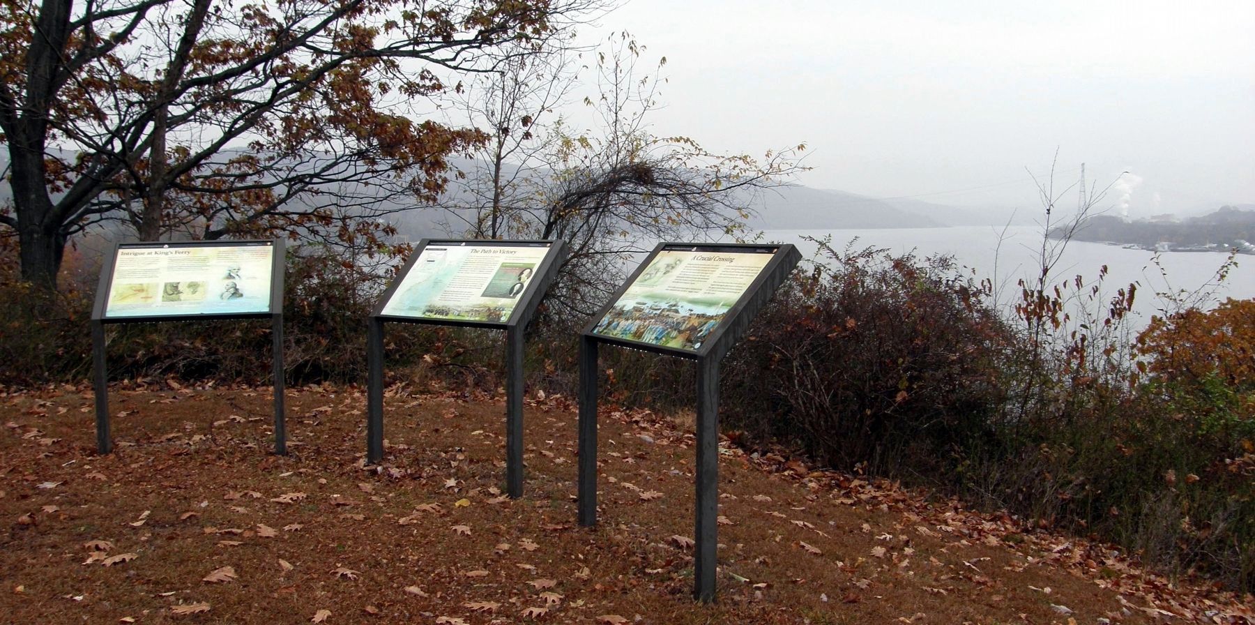
Other nearby markers. At least 8 other markers are within walking distance of this location. The Path to Victory (here, next to this marker); Intrigue at King’s Ferry (here, next to this marker); A Crucial Crossing (here, next to this marker); Fraser’s Highlanders (within shouting distance of this marker); British Defenses: The Outer Works
(about 500 feet away, measured in a direct line); The British Occupy Stony Point (about 500 feet away); 17th British Regiment of Foot (about 500 feet away); The American Strategy (about 500 feet away). Touch for a list and map of all markers in Stony Point.
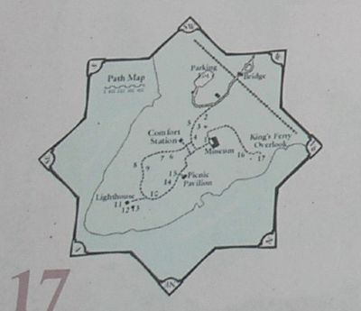
More about this marker. The marker contains a portrait, by Charles Wilson Peale, 1782, of Jean Baptiste Donatien de Vimeur, Comte de Rochambeau (1725-1807), courtesy of Independence National Historical Park. The upper left of the marker features an 18th-century map of Stony Point Battlefield by British Lt. William Marshall, 63rd Regiment of Foot highlighting King’s Ferry. Map is reproduced courtesy of The Historical Society of Pennsylvania. Another map shows the “Detail from Plan of the Attacks on the Forts Clinton and Montgomery upon Hudson River showing King’s Ferry, published by William Faden, London, 1784. Reproduced courtesy of the New York State Library.” Finally, the lower left of the marker features a map of the walking tour of the Stony Point Battlefield.
Related markers. Click here for a list of markers that are related to this marker. This series of markers follow the walking tour
of the Stony Point Battlefield.
Also see . . .
1. The Battle of Stoney (sic) Point. American Revolution War entry (Submitted on September 22, 2008, by Bill Coughlin of Woodland Park, New Jersey.)
2. Stony Point Battlefield State Historic Site. New York State Parks, Recreation and Historic Preservation website entry (Submitted on August 24, 2021, by Larry Gertner of New York, New York.)
Credits. This page was last revised on August 24, 2021. It was originally submitted on September 22, 2008, by Bill Coughlin of Woodland Park, New Jersey. This page has been viewed 1,633 times since then and 91 times this year. Last updated on February 1, 2021, by Carl Gordon Moore Jr. of North East, Maryland. Photos: 1, 2, 3, 4, 5, 6. submitted on September 22, 2008, by Bill Coughlin of Woodland Park, New Jersey. 7. submitted on December 20, 2019, by Larry Gertner of New York, New York. • J. Makali Bruton was the editor who published this page.
