Algiers in Orleans Parish, Louisiana — The American South (West South Central)
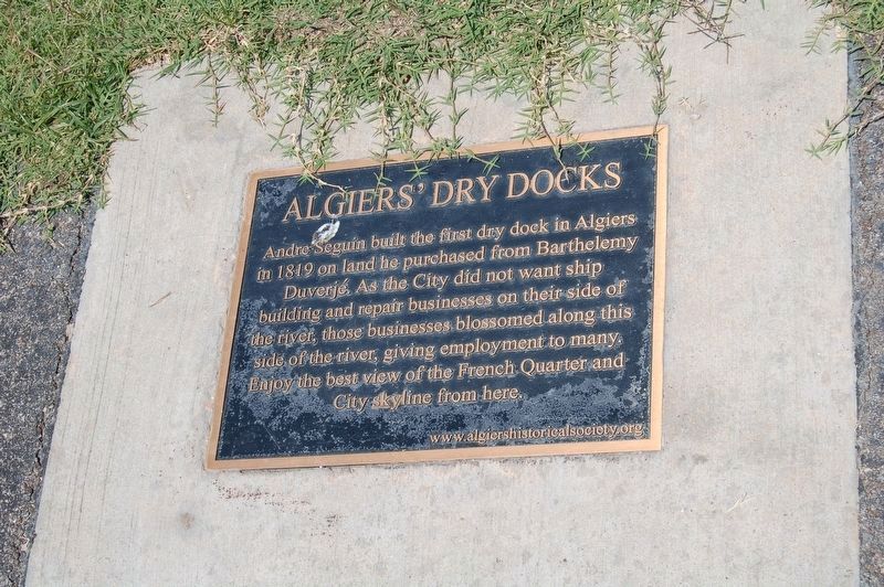
Algiers' Dry Docks
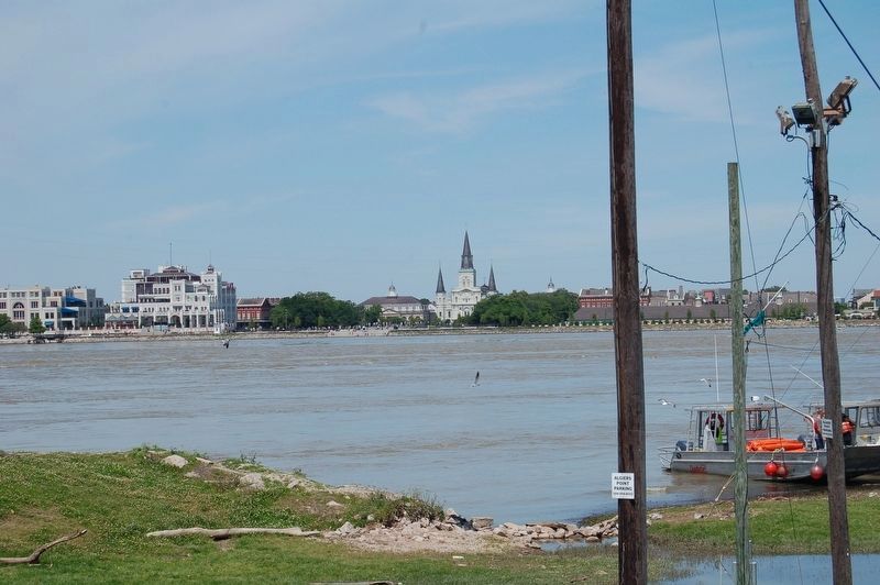
Andre Seguin built the first dry dock in Algiers in 1819 on land purchased from Barthelemy Duverjé. As the City did not want ship building and repair businesses on their side of the river, those businesses blossomed along this side of the river, giving employment to many. Enjoy the best view of the French Quarter and City skyline from here.
Erected by www.algiershistoricalsociety.org.
Topics. This historical marker is listed in these topic lists: Industry & Commerce • Settlements & Settlers.
Location. 29° 57.239′ N, 90° 3.294′ W. Marker is in Algiers, Louisiana, in Orleans Parish. Marker can be reached from Morgan Street near Bouny Street, on the right when traveling north. Located on the Mississippi River Trail, atop the levee. Touch for map. Marker is in this post office area: New Orleans LA 70114, United States of America. Touch for directions.
Other nearby markers. At least 8 other markers are within walking distance of this marker. Duverjé Plantation (within shouting distance of this marker); Enslaved Africans (within shouting distance of this marker); Transatlantic Slave Trade to Louisiana (within shouting distance of this marker); Algiers Courthouse (within shouting distance of this marker); Hardy Residence (about 300 feet away, measured in a direct line); The Great Fire of Algiers, 1895 (about 400 feet away); Louis D. Armstrong (about 600 feet away); Historic Algiers (about 600 feet away). Touch for a list and map of all markers in Algiers.
More about this marker. Marker is located on top of levee, along the Mississippi River Trail, a bicycle and walking path on top the levee.
Credits. This page was last revised on February 12, 2023. It was originally submitted on April 30, 2018, by Cajun Scrambler of Assumption, Louisiana. This page has been viewed 750 times since then and 119 times this year. Photos: 1, 2. submitted on April 30, 2018, by Cajun Scrambler of Assumption, Louisiana.

