Franklin Township near Biglerville in Adams County, Pennsylvania — The American Northeast (Mid-Atlantic)
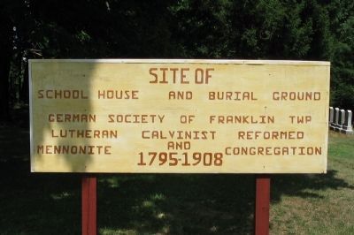
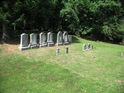
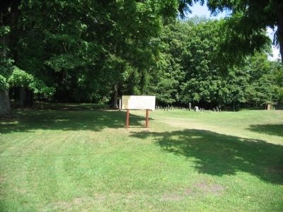
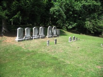
Site of School House and Burial Ground
Lutheran Calvinist Reformed
and
Mennonite Congregation
1795-1908
Topics. This historical marker is listed in these topic lists: Cemeteries & Burial Sites • Churches & Religion.
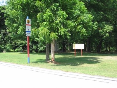
Location. 39° 52.55′ N, 77° 20.379′ W. Marker is near Biglerville, Pennsylvania, in Adams County. It is in Franklin Township. Marker is at the intersection of Old Route 30 (U.S. 30) and Flohrs Church Road, on the right when traveling west on Old Route 30. Touch for map. Marker is at or near this postal address: 595 Flohrs Church Rd, Biglerville PA 17307, United States of America. Touch for directions.
Other nearby markers. At least 8 other markers are within 2 miles of this marker, measured as the crow flies. The Battle of Gettysburg: The Cashtown Road (within shouting distance of this marker); McKnightstown (approx. 0.6 miles away); Highway Enterprise (approx. ¾ mile away); Cashtown (approx. 0.8 miles away); a different marker also named McKnightstown (approx. 1.1 miles away); Roads West (approx. 1.2 miles away); Imboden's Brigade (approx. 1.3 miles away); Cashtown Inn (approx. 1.3 miles away). Touch for a list and map of all markers in Biglerville.
Credits. This page was last revised on February 7, 2023. It was originally submitted on September 23, 2008, by Craig Swain of Leesburg, Virginia. This page has been viewed 2,376 times since then and 49 times this year. Photos: 1, 2, 3, 4, 5. submitted on September 23, 2008, by Craig Swain of Leesburg, Virginia.
