Bainbridge in Decatur County, Georgia — The American South (South Atlantic)
Decatur County During the Creek and Seminole Wars Era
— Creek Heritage Trail —
Inscription.
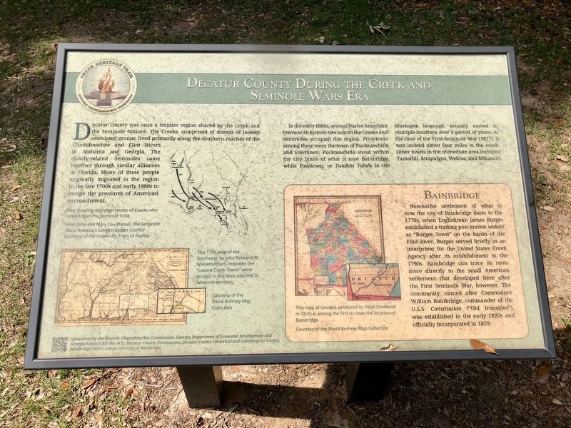
Decatur County was once a frontier region shared by the Creek and the Seminole Nations. The Creeks, comprised of dozens of loosely associate groups, lived primarily along the southern reaches of the Chattahoochee and Flint Rivers in Alabama and Georgia. The closely-related Seminoles came together through similar alliances in Florida. Many of these people originally migrated to the region in the late 1700s and early 1800s to escape the pressures of American encroachment.
In the early 1800s, several Native American towns with historic ties to both the Creeks and Seminoles occupied this region. Prominent among these were the town of Pucknawhitla and Fowltown. Pucknawhitla stood within the city limits of what is now Bainbridge, while Fowltown, or Tutalosi Talofa in the Muskogee language, actually moved to multiple locations over a period of years. At the time of the First Seminole War (1817), it was located about four miles to the south. Other towns in the immediate area included Tamathli, Attapulgus, Wekiva, and Mikasuki.
Inset
Bainbridge
Non-native settlement of what is now the city if Bainbridge dates to the 1770s, when Englishman James Burges established a trading post known widely as "Burges Town"on the Banks of the Flint River. Burges served briefly as an interpreter for the United States Creek Agency after its establishment in the 1790s. Bainbridge can trace its roots more directly to the small American settlement that developed here after the First Seminole War, however. The community, named after Commodore William Bainbridge, commander of the U.S.S. Constitution ("Old Ironsides"), was established in the early 1820s and officially incorporated in 1829.
Map captions
Top right: Map showing migration routes of Creeks who helped form the Seminole Tribe.
Bottom right: This 1796 map of the Southeast, by John Reid and W. Winterbotham, indicates the "Lowest Creek Towns" were located in this area adjacent Seminole territory.
Bottom right: This map of Georgia, produced by Adiel Sherwood in 1829, is among the first to show the location of Bainbridge.
Erected 2014 by Historic Chattahoochee Commission, Georgia Department of Economic Development and Georgia Council for the Arts, Decatur County Commission, Decatur County Historical and Genealogical Society, Bainbridge State College and City of Bainbridge.
Topics. This historical marker is listed in these topic lists: Native Americans • Settlements & Settlers • Wars, US Indian. A significant historical year for this entry is 1829.
Location. 30° 54.493′ N, 84° 34.758′ W. Marker is in
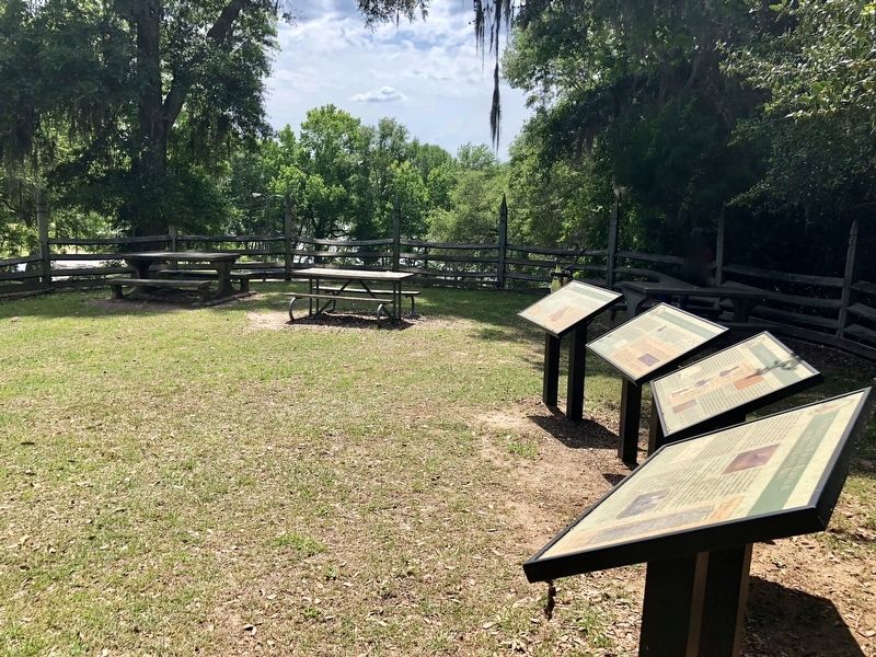
Bainbridge, Georgia, in Decatur County. Marker can be reached from West Jackson Street west of North Florida Street, on the right when traveling west. Located within Chason Park. Touch for map. Marker is at or near this postal address: West Jackson Street, Bainbridge GA 39817, United States of America. Touch for directions.
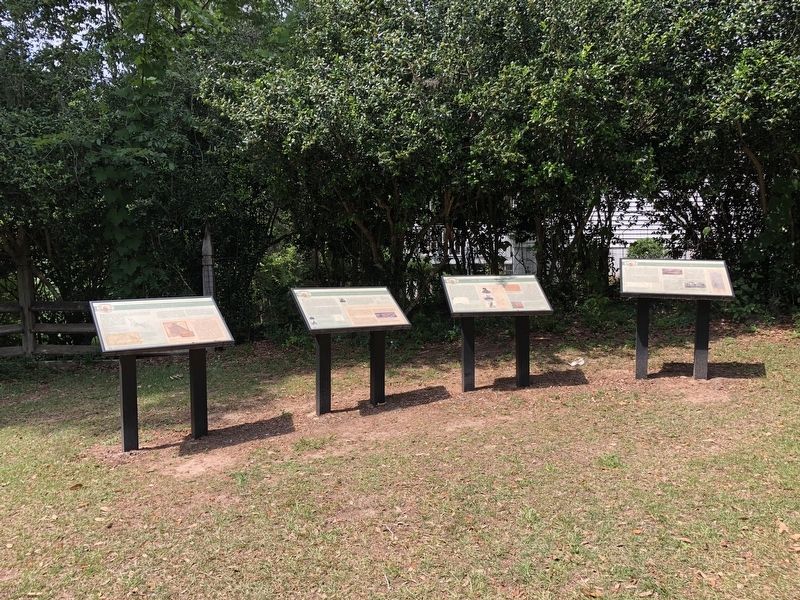
Other nearby markers. At least 8 other markers are within walking distance of this marker. The Battle of Fowltown (here, next to this marker); The First Seminole War in Decatur County (here, next to this marker); The Second Creek War and Removal in the Decatur County Area (here, next to this marker); General Andrew Jackson Trail (a few steps from this marker); Fort Scott Memorial (within shouting distance of this marker); The J.D. Chason Memorial Park / The J.D. Chason Memorial Park History (within shouting distance of this marker); Fort Hughes (about 800 feet away, measured in a direct line); Decatur County (approx. 0.2 miles away). Touch for a list and map of all markers in Bainbridge.
Credits. This page was last revised on May 8, 2018. It was originally submitted on May 6, 2018, by Mark Hilton of Montgomery, Alabama. This page has been viewed 492 times since then and 72 times this year. Photos: 1, 2, 3. submitted on May 6, 2018, by Mark Hilton of Montgomery, Alabama.


