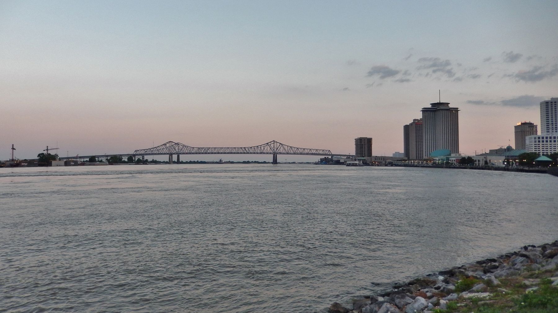
French Quarter in New Orleans in Orleans Parish, Louisiana — The American South (West South Central)
Transatlantic Slave Trade to Louisiana
Inscription.
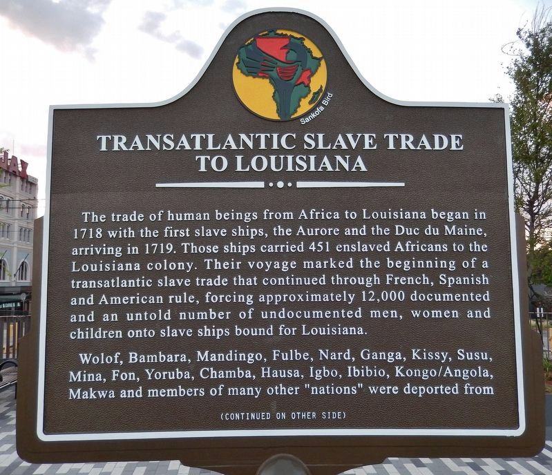
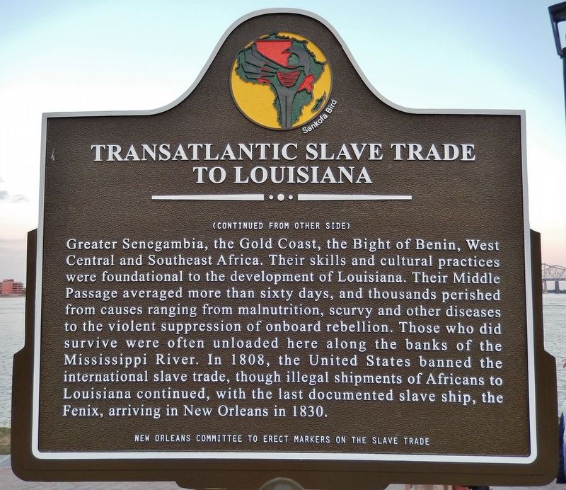
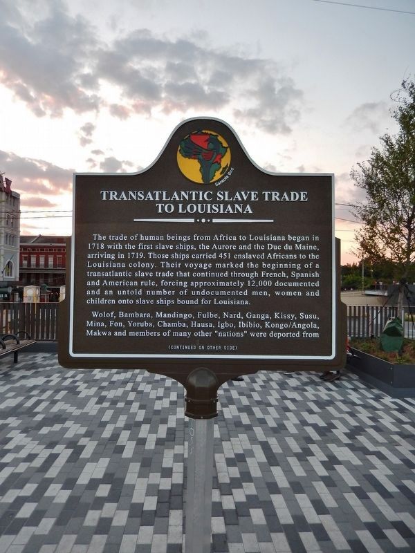
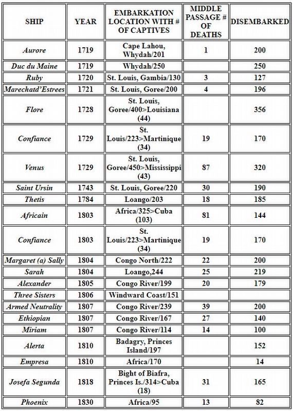
The trade of human beings from Africa to Louisiana began in 1718 with the first slave ships, the Aurore and the Duc du Maine, arriving in 1719. Those ships carried 451 enslaved Africans to the Louisiana colony. Their voyage marked the beginning of a transatlantic slave trade that continued through French, Spanish and American rule, forcing approximately 12,000 documented and an untold number of undocumented men, women and children onto slave ships bound for Louisiana.
Wolof, Bambara, Mandingo, Fulbe, Nard, Ganga, Kissy, Susu, Mina, Fon, Yoruba, Chamba, Hausa, Igbo, Ibibio, Kongo/Angola, Makwa and members of many other "nations" were deported from Greater Senegambia, the Gold Coast, the Bight of Benin, West Central and Southeast Africa. Their skills and cultural practices were foundational to the development of Louisiana. Their Middle Passage averaged more than sixty days, and thousands perished from causes ranging from malnutrition, scurvy and other diseases to the violent suppression of onboard rebellion. Those who did survive were often unloaded here along the banks of the Mississippi River. In 1808, the United States banned the international slave trade, though illegal shipments of Africans to Louisiana continued, with the last documented slave ship, the Fenix, arriving in New Orleans in 1830.
Erected 2018 by New Orleans Committee to Erect Markers on the Slave Trade. (Marker Number Site 1.)
Topics. This historical marker is listed in these topic lists: African Americans • Colonial Era. A significant historical year for this entry is 1718.
Location. 29° 57.383′ N, 90° 3.715′ W. Marker is in New Orleans, Louisiana, in Orleans Parish. It is in the French Quarter. Marker can be reached from St. Peter Street east of Decatur Street, on the left when traveling east. Marker is located along the Mississippi Riverwalk in Washington Artillery Park. Touch for map. Marker is at or near this postal address: 800 Decatur St, New Orleans LA 70116, United States of America. Touch for directions.
Other nearby markers. At least 8 other markers are within walking distance of this marker. Execution of Jean Baptiste Baudrau II (here, next to this marker); Woldenberg Riverfront Park (within shouting distance of this marker); The Washington Artillery Park (within shouting distance of this marker); The Steamer New Orleans (within shouting distance of this marker); New Orleans (about 300 feet away, measured in a direct line); Café Du Monde (about 400 feet away); Picayune Pier (about 500 feet away); Natchez Steamboats (about 500 feet away). Touch for a list and map of all markers in New Orleans.
Related markers. Click here for a list of markers that are related to this marker. New Orleans Slave Trade
Also see . . .
1. Aurore (slave ship). Aurore (along with the Duc du Maine), was a slave ship that brought the first African slaves to Louisiana on 6 June 1719, from Senegambia. The slaves on slave ships such as Aurore, were packed in a tight spoon-like position in order to be able to carry as many slaves as possible. The slaves wore leg shackles to reduce the risk of an uprising. (Submitted on May 11, 2018, by Cosmos Mariner of Cape Canaveral, Florida.)
2. New Orleans: Slavery and Remembrance. New Orleans quickly assumed an important place in the commercial and social life of the United States. With sugar and cotton plantations nearby, New Orleans developed a thriving market for enslaved Africans. After the close of the transatlantic
slave trade in 1808, New Orleans remained a major site for slave trading, and actually increased the volume of its traffic. Some of this was due to illegal shipments coming from the Caribbean, but most of the growth of the slave market was from the resale of enslaved Africans from the upper south to the Mississippi valley. (Submitted on May 11, 2018, by Cosmos Mariner of Cape Canaveral, Florida.)
3. Sighting The Sites Of The New Orleans Slave Trade. Once they arrived in New Orleans, many that came by boat were sold before even walking off the deck of the ship. But most people were brought to what’s called a slave pen. In 1829, it became illegal for slave traders to house slaves in the French Quarter. So these pens popped up on the borders. These pens were basically jails. And the eating well and physical activity was all so that the traders could sell their property -- humans -- at the highest possible profit. (Submitted on May 11, 2018, by Cosmos Mariner of Cape Canaveral, Florida.)
4. Middle Passage Ceremonies and Port Markers Project. (Submitted on October 14, 2020, by John Bloomfield of Palm Coast, Florida.)
Additional commentary.
1. UNESCO “Site of Memory associated with the Slave Route Project”
As a French colonial port settlement (1718) on the Gulf Coast at the mouth of the Mississippi River, New Orleans played a major role in domestic and international human trade. From its establishment by the French and subsequently under the control of England, Spain, and the United States, this city has shared close ties with French, English, and Spanish Caribbean Islands. Captive Africans who were part of both the international
and domestic trade arrived at this delta location as the U.S. western frontier expanded and sugar plantation economies demanded labor.
Within the city, sites related to the human trade and the influence of Africans and African Americans are being identified and markers installed. In 2018, the city celebrated the 300-year anniversary of European presence by erecting historic markers which included one for Middle Passage/international trade across from Jackson Square and another for the domestic trade at Esplanade and Chartres. In 2019 a marker related to the International Trade was installed at Algiers Point.
In New Orleans one of the most influential national legal challenges to the legacy of slavery and racism was made. This resulted in the 1896 Supreme Court decision, Plessy v. Ferguson, upholding the constitutionality of racial segregation as long as public facilities were equal in quality, a doctrine that became known as “separate but equal” overturned by the U.S. Supreme Court in 1954.
Source: Africans in Colonial Louisiana: The Development of Afro-Creole Culture in the 18th Century, Gwendolyn Midlo Hall; The World That Made New Orleans: From Spanish Silver to Congo Square, Ned Sublette; Congo Square: African Roots in New Orleans, Freddi Williams Evans; and Gumbo Yaya: A Collection of Louisiana Folk Tales, Robert Tallant. Dillard and Southern Universities also maintain extensive studies and papers on the history of Africans and their descendants in New Orleans.
— Submitted October 14, 2020, by John Bloomfield of Palm Coast, Florida.
Credits. This page was last revised on March 6, 2024. It was originally submitted on May 10, 2018, by Cosmos Mariner of Cape Canaveral, Florida. This page has been viewed 2,634 times since then and 276 times this year. Last updated on May 11, 2018, by Cosmos Mariner of Cape Canaveral, Florida. Photos: 1. submitted on May 10, 2018, by Cosmos Mariner of Cape Canaveral, Florida. 2, 3, 4. submitted on May 11, 2018, by Cosmos Mariner of Cape Canaveral, Florida. 5. submitted on October 14, 2020, by John Bloomfield of Palm Coast, Florida. 6. submitted on May 11, 2018, by Cosmos Mariner of Cape Canaveral, Florida. • Bernard Fisher was the editor who published this page.
