Cadereyta de Montes, Querétaro, Mexico — The Central Highlands (North America)
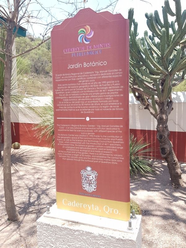
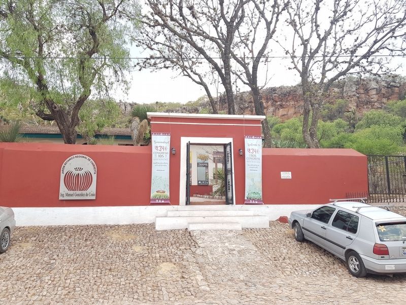
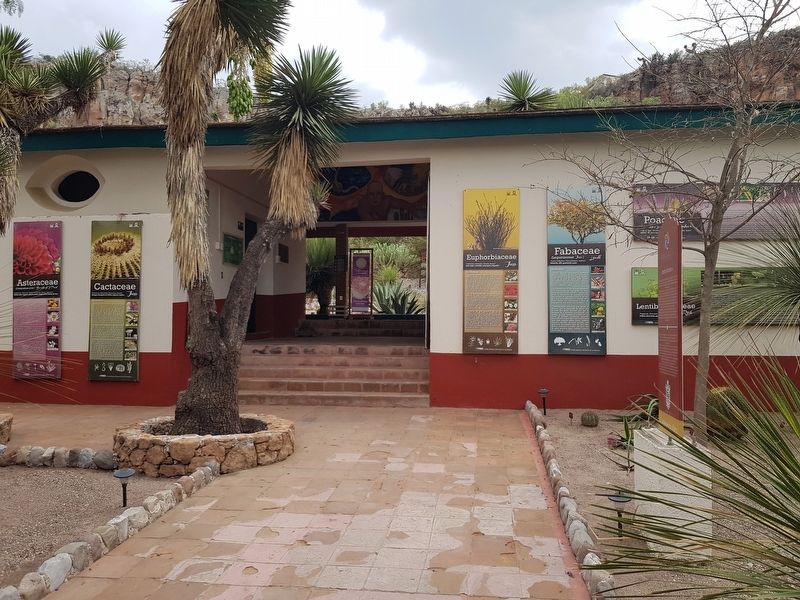
Botanical Garden of Cadereyta
Cadereyta de Montes - Pueblo Mágico
Este centro botánico fue creado en el año de 1990 gracias a la aportación del espacio geográfico del Ejido de Fuentes y Pueblo nuevo, así como por el Consejo de Ciencia y Tecnología del Estado de Querétaro, quien colaboró con la introducción de 4611 especímenes. Hoy en día el herbario contiene una amplia gama de plantas catalogadas y deshidratadas de gran utilidad para investigaciones de índole botánico, etnobotánica, ecológico y médico.
En el límite del jardín hay un acantilado formado por rocas volcánicas que alcanza los 50 metros de altura, el cual establece la línea de contacto entre la zona volcánica y la región de rocas sedimentarias marinas que se extiende por todo el noroeste del Estado de Querétaro.
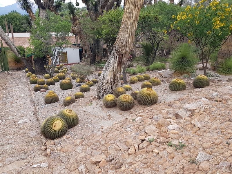
This Botanic Center was created in 1990 thanks to the contribution of the geographic space of the common land from Fuentes and Pueblo Nuevo, as well as the Science and Technology Council from Querétaro State, which collaborated with the introduction of 4611 specimens. At the present time, this botanical garden contains a extended range of catalogized and dehydrated plants, used on botanical, ethnobotanical, ecological and medical research.
At the southern limit of the garden there is a cliff formed by volcanic rocks; it reaches a height of 50 meters, and establishes the contact line between the volcanic zone and the sedimentary marine rocks zone that spreads through the northeast part of Querétaro State.
Topics. This historical marker is listed in these topic lists: Environment • Horticulture & Forestry • Parks & Recreational Areas. A significant historical year for this entry is 1990.
Location. 20° 41.258′ N, 99° 48.294′ W. Marker is in Cadereyta de Montes, Querétaro. Marker is on Calle Pilancón just west of Calle Heróico Colegio Militar, on the right when traveling east. Touch for map. Marker is in this post office area: Cadereyta de Montes QUE 76500, Mexico. Touch for directions.
Other nearby markers. At least 8 other markers are within walking distance of this marker
. Observing the Yucca Forest (approx. 0.4 kilometers away); Cadereyta’s Water Reservoir (approx. 0.8 kilometers away); Temple of the Most Pure Conception (approx. 1.1 kilometers away); The Temple of Saints Peter and Paul (approx. 1.2 kilometers away); Friar Pablo de Betancur (approx. 1.2 kilometers away); The Temple of the Holy Solitude (approx. 1.2 kilometers away); The Temple of the Holy Ladder (approx. 1.3 kilometers away); The Temple of Our Lady of Refuge (approx. 1.4 kilometers away). Touch for a list and map of all markers in Cadereyta de Montes.
Credits. This page was last revised on May 13, 2018. It was originally submitted on May 13, 2018, by J. Makali Bruton of Accra, Ghana. This page has been viewed 115 times since then and 4 times this year. Photos: 1, 2, 3, 4. submitted on May 13, 2018, by J. Makali Bruton of Accra, Ghana.


