Kewaunee in Kewaunee County, Wisconsin — The American Midwest (Great Lakes)
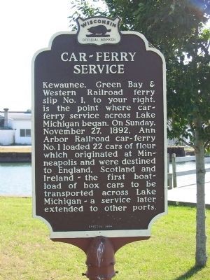
Car – Ferry Service
Erected 1964 by the Wisconsin Historical Society. (Marker Number 136.)
Topics and series. This historical marker is listed in these topic lists: Railroads & Streetcars • Waterways & Vessels. In addition, it is included in the Wisconsin Historical Society series list. A significant historical date for this entry is November 27, 1892.
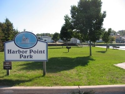
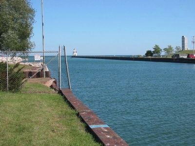
Location. 44° 27.603′ N, 87° 29.996′ W. Marker is in Kewaunee, Wisconsin, in Kewaunee County. Marker can be reached from Hathaway Drive, on the right when traveling south. Marker is at the end of Hathaway Drive, in Harbor Point Park. Touch for map. Marker is in this post office area: Kewaunee WI 54216, United States of America. Touch for directions.
Other nearby markers. At least 8 other markers are within 3 miles of this marker, measured as the crow flies. Early History of Kewaunee (about 500 feet away, measured in a direct line); The Great Kewaunee Fire (approx. 0.2 miles away); Civil War and Cuban Veterans Monument (approx. 0.3 miles away); Courthouse Square (approx. 0.4 miles away); Barge "Emerald" (approx. 0.4 miles away); Father Marquette (approx. 0.4 miles away); Kewaunee Marsh Arsenic Spill Area (approx. 1.4 miles away); Kewaunee County Lime Kilns (approx. 2˝ miles away). Touch for a list and map of all markers in Kewaunee.
Credits. This page was last revised on August 26, 2021. It was originally submitted on September 25, 2008, by Keith L of Wisconsin Rapids, Wisconsin. This page has been viewed 1,616 times since then and 40 times this year. Photos: 1, 2, 3. submitted on September 25, 2008, by Keith L of Wisconsin Rapids, Wisconsin. • Kevin W. was the editor who published this page.


