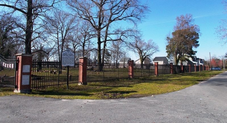
Prentis Park in Portsmouth, Virginia — The American South (Mid-Atlantic)
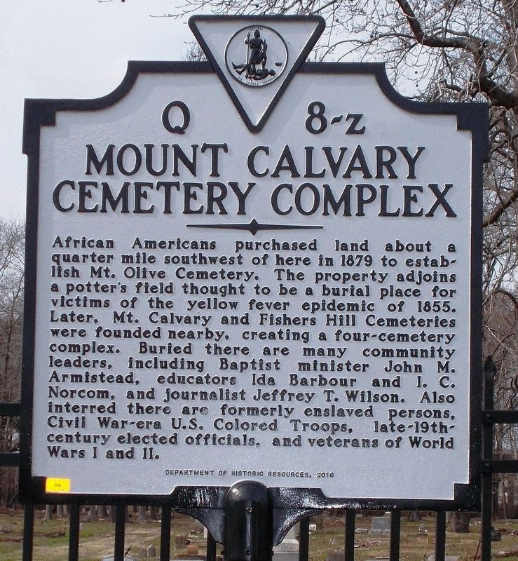
Mount Calvary Cemetery Complex
African Americans purchased land about a quarter mile southwest of here in 1879 to establish Mt. Olive Cemetery. The property adjoins a potter’s field thought to be a burial place for victims of the yellow fever epidemic of 1855. Later, Mt. Calvary and Fishers Hill Cemeteries were founded nearby, creating a four-cemetery complex. Buried there are many community leaders, including Baptist minister John M. Armistead, educators Ida Barbour and I. C. Norcom, and journalist Jeffrey T. Wilson. Also interred there are formerly enslaved persons, Civil War-era U.S. Colored Troops, late-19th-century elected officials, and veterans of World Wars I and II.
Erected 2016 by Department of Historic Resources. (Marker Number Q 8-z.)
Topics and series. This historical marker is listed in these topic lists: African Americans • Cemeteries & Burial Sites. In addition, it is included in the Virginia Department of Historic Resources (DHR) series list. A significant historical year for this entry is 1879.
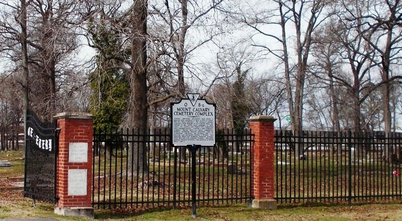
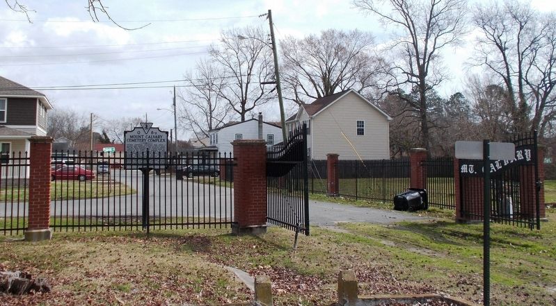
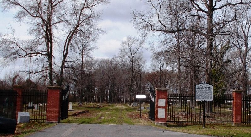
Location. 36° 49.56′ N, 76° 19.289′ W. Marker is in Portsmouth, Virginia. It is in Prentis Park. Marker is on Pulaski Street west of Deep Creek Road, on the right when traveling west. Touch for map. Marker is in this post office area: Portsmouth VA 23704, United States of America. Touch for directions.
Other nearby markers. At least 8 other markers are within 2 miles of this marker, measured as the crow flies. The Historic Portsmouth Community Library (approx. 0.6 miles away); Israel Charles Norcom High School (approx. 0.8 miles away); Chevra T'helim Synagogue (approx. one mile away); The Battle of Craney Island (approx. 1.1 miles away); Arnold's British Defenses, 1781 (approx. 1.1 miles away); John Luke Porter (approx. 1.2 miles away); The Confederate Section (approx. 1.2 miles away); Rev. Francis Devlin (approx. 1.2 miles away). Touch for a list and map of all markers in Portsmouth.
Related markers. Click here for a list of markers that are related to this marker.
Also see . . .
1. Epidemic, The Norfolk and Portsmouth Yellow Fever (1855). Encyclopedia Virginia website entry (Submitted on June 17, 2023, by Larry Gertner of New York, New York.)
2. Yellow Fever in Norfolk and Portsmouth Virginia, 1855. as reported in the DAILY DISPATCH of Richmond Virginia
USGenWeb Archives website entry (Submitted on June 6, 2018, by Cynthia L. Clark of Suffolk, Virginia.)
Additional commentary.
1. Correction
A segment of the marker text, "about a quarter mile southwest of here," is no longer valid. In 2016, the City of Portsmouth moved the marker from its original location on South Street, Portsmouth, to its current location near the front gate of the cemetery.
Note To Editor only visible by Contributor and editor
— Submitted August 27, 2018, by Nadia K. Orton of Chesapeake, Virginia.
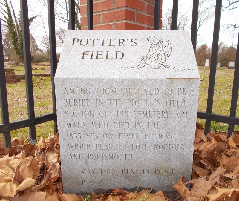
Photographed By Cynthia L. Clark, February 16, 2018
5. Potter’s Field Stone.
Inscription: Potter’s Field. Among those believed to be buried in the Potter’s Field section of this cemetery are many who died in the 1855 yellow fever epidemic which plagued both Norfolk and Portsmouth. May they rest in peace. Psalm 23:4.
Credits. This page was last revised on October 26, 2023. It was originally submitted on June 6, 2018, by Cynthia L. Clark of Suffolk, Virginia. This page has been viewed 439 times since then and 35 times this year. Photos: 1, 2, 3, 4, 5, 6. submitted on June 6, 2018, by Cynthia L. Clark of Suffolk, Virginia. • Bernard Fisher was the editor who published this page.
