Near Iroquois in Kingsbury County, South Dakota — The American Midwest (Upper Plains)
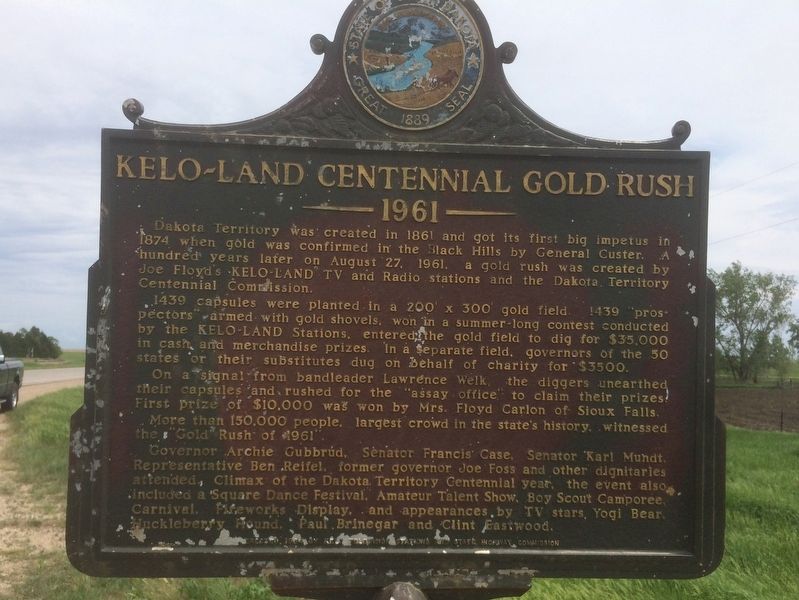
KELO-LAND Centennial Gold Rush
1961
Dakota Territory was created in 1861 and got its first big impetus in 1874 when gold was confirmed in the Black Hills by General Custer. A hundred years later on August 27, 1961, a gold rush was created by Joe Floyd’s KELO-LAND TV and Radio stations and the Dakota Territory Centennial Commission.
1439 capsules were planted in a 200’x 300’ gold field. 1439 ‘prospectors’ armed with gold shovels, won in a summer-long contest conducted by the KELO-LAND Stations, entered the gold field to dig for $35.000 in cash and merchandise prizes. In a separate field, governors of the 50 states or their substitutes dug on behalf of charity for $3500.
On a signal from bandleader Lawrence Welk, the diggers unearthed their capsules and rushed for the ‘assay office’ to claim their prizes. First prize of $10,000 was won by Mrs. Floyd Carlon of Sioux Falls. More than 150,000 people, the largest crowd in the state’s history, witnessed the “Gold Rush of 1961”.
Governor Archie Gubbrud, Senator Francis Case, Senator Karl Mundt, Representative Ben Reifel, former governor Joe Foss and other dignitaries attended. Climax of the Dakota Territorial Centennial year, the event also included a Square Dance Festival, Amateur Talent Show, Boy Scout Camporee, Carnival, Fireworks Display, and appearances by TV stars Yogi Bear, Huckleberry Hound, Paul Brinegar and Clint Eastwood.
Erected 1964 by KELO Television Stations and State Highway Commission. (Marker Number 374.)
Topics and series. This historical marker is listed in this topic list: Notable Events. In addition, it is included in the South Dakota State Historical Society Markers series list. A significant historical date for this entry is August 27, 1961.
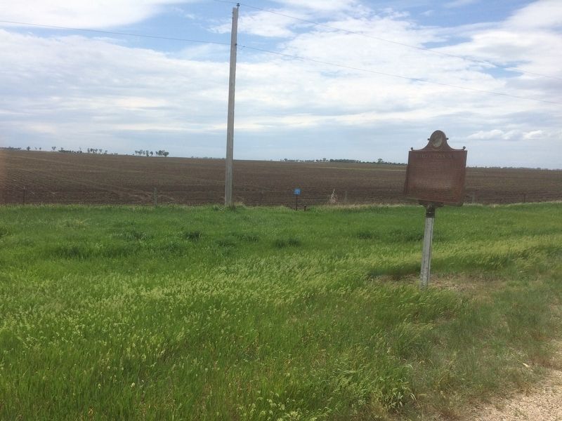
Location. 44° 22.103′ N, 97° 42.923′ W. Marker is near Iroquois, South Dakota, in Kingsbury County. Marker is on U.S. 14, 0.1 miles west of 428th Ave., on the right when traveling east. Touch for map. Marker is at or near this postal address: 42487 208th St, Iroquois SD 57353, United States of America. Touch for directions.
Other nearby markers. At least 8 other markers are within 8 miles of this marker, measured as the crow flies. Harvey Dunn, N.A. (a few steps from this marker); Manchester (approx. ¼ mile away); Harvy Dunn and Grace Ingalls Dow (approx. ¼ mile away); The Manchester Tornado (approx. ¼ mile away); Manchester, South Dakota (approx. ¼ mile away); Town Hall and Town Pump (approx. ¼ mile away); Father Pierre Jean De Smet (approx. 7.9 miles away); St. Matthew Lutheran Church (approx. 8 miles away). Touch for a list and map of all markers in Iroquois.
Credits. This page was last revised on September 30, 2021. It was originally submitted on June 12, 2018, by Ruth VanSteenwyk of Aberdeen, South Dakota. This page has been viewed 445 times since then and 24 times this year. Last updated on September 28, 2021. Photos: 1, 2. submitted on June 12, 2018, by Ruth VanSteenwyk of Aberdeen, South Dakota. • J. Makali Bruton was the editor who published this page.

