Islington in Greater London, England, United Kingdom — Northwestern Europe (the British Isles)
Regents Canal
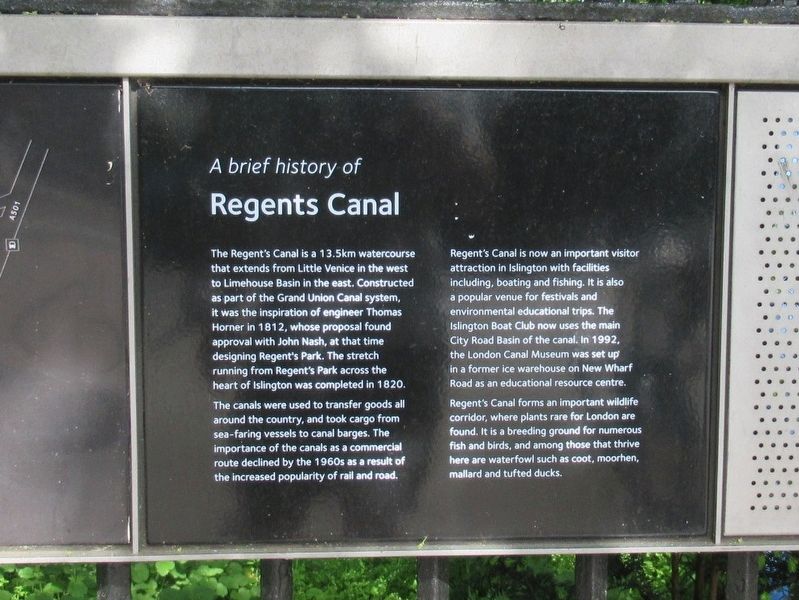
A brief history of Regents Canal
The Regent's Canal is a 13.5km watercourse that extends from Little Venice in the west to Limehouse Basin in the east. Constructed as part of the Grand Union Canal system, it was the inspiration of engineer Thomas Horner in 1812, whose proposal found approval with John Nash, at that time designing Regent's Park. The stretch running from Regent's Park across the heart of Islington was completed in 1820.
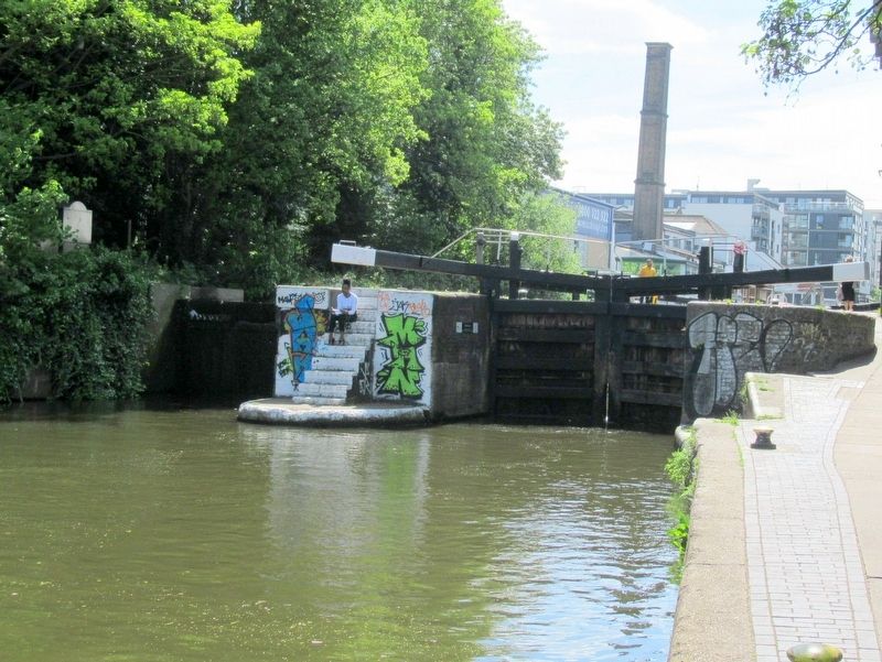
The canals were used to transfer goods all around the country, and took cargo from sea-faring vessels to canal barges. The importance of the canals as a commercial route declined by the 1960s as a result of the increased popularity of rail and road.
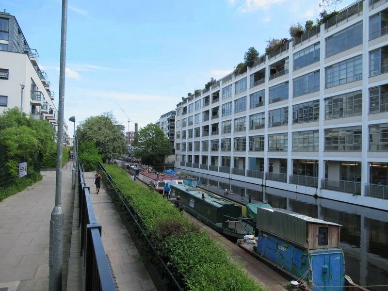
Regent's Canal is now an important visitor attraction in Islington with facilities including, boating and fishing. It is also a popular venue for festivals and environmental educational trips. The Islington Boat Club now uses the main City Road Basin of the canal. In 1992, the London Canal Museum was set up in a former ice warehouse on New Wharf Road as an educational resource centre.
Regent's Canal forms an important wildlife corridor, where plants rare for London are found. It is a breeding ground for numerous fish and birds, and among those that thrive here are waterfowl such as coot, moorhen, mallard and tufted ducks.
Topics. This historical marker is listed in these topic lists: Industry & Commerce • Waterways & Vessels.
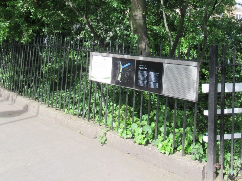
Location. 51° 31.982′ N, 0° 6.182′ W. Marker is in Islington, England, in Greater London. Marker is at the intersection of Colebrooke Row and Vincent Terrace, on the right when traveling north on Colebrooke Row. Touch for map. Marker is in this post office area: Islington, England N1 8AP, United Kingdom. Touch for directions.
Other nearby markers. At least 8 other markers are within walking distance of this marker. A different marker also named Regent’s Canal (here, next to this marker); Duncan Terrace Gardens (within shouting distance of this marker); The York (about 150 meters away, measured in a direct line); William Nicholson (about 150 meters away); Sir Hugh Myddelton (approx. 0.3 kilometers away); Finsbury War Memorial (approx. 0.6 kilometers away); Dadabhai Naoroji (approx. 0.8 kilometers away); Holy Trinity Hoxton War Memorial (approx. 0.8 kilometers away). Touch for a list and map of all markers in Islington.
More about this marker. Next to the canal, beneath the marker, is the Islington Canal Tunnel
Also see . . .
1. Regent’s Canal on Wikipedia. (Submitted on June 13, 2018, by Michael Herrick of Southbury, Connecticut.)
2. Islington Tunnel on Wikipedia. (Submitted on June 13, 2018, by Michael Herrick of Southbury, Connecticut.)
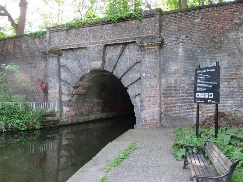
Photographed By Michael Herrick, May 9, 2018
5. Islington Tunnel
Completed in 1820, the tunnel is 960 yards long. There was no towpath for horses in the tunnel. Horses were untied from the boat and led up a ramp to the tunnel’s other end. Barges originally had to be “legged” by watermen lying on the deck and “walking the tunnel”. In 1826 it was upgraded with a steam tug attached to a continuous chain on the canal bed which would heave barges through. This remained for over one hundred years until the 1930s, when it was replaced with a diesel engine, which is no longer in use. It not possible to walk or cycle through the tunnel.
Credits. This page was last revised on January 27, 2022. It was originally submitted on June 13, 2018, by Michael Herrick of Southbury, Connecticut. This page has been viewed 137 times since then and 6 times this year. Photos: 1, 2, 3, 4, 5. submitted on June 13, 2018, by Michael Herrick of Southbury, Connecticut.
