Suffolk, Virginia — The American South (Mid-Atlantic)
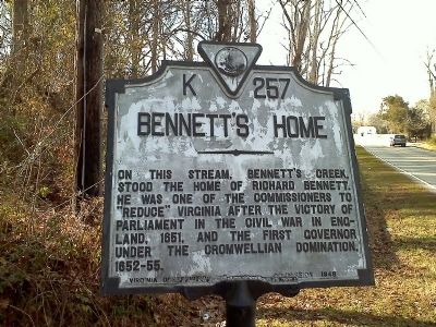
Bennett's Home
Erected 1948 by Virginia Conservation Commission. (Marker Number K-257.)
Topics and series. This historical marker is listed in these topic lists: Colonial Era • Government & Politics • Settlements & Settlers. In addition, it is included in the Virginia Department of Historic Resources (DHR) series list. A significant historical year for this entry is 1651.
Location. 36° 49.448′ N, 76° 29.808′ W. Marker is in Suffolk, Virginia. Marker is on Nansemond Parkway (Virginia Route 337), on the right when traveling west. Touch for map. Marker is at or near this postal address: 4400 Nansemond Parkway, Suffolk VA 23435, United States of America. Touch for directions.
Other nearby markers. At least 8 other markers are within 2 miles of this marker, measured as the crow flies. Hargrove's Tavern (within shouting distance of this marker); Glebe Church (within shouting distance of this marker); a different marker also named Glebe Church (within shouting distance of this marker); Sleepy Hole Ferry (approx. 0.2 miles away); Yeates School (approx. 0.2 miles away); Florence Graded School (approx. ¼ mile away); James Bowser, Revolutionary Soldier (approx. 0.4 miles away); James Bowser Plantation (approx. 1.7 miles away). Touch for a list and map of all markers in Suffolk.
More about this marker. Near the source of Bennett's Creek.
Revision, June 14, 2018: Marker number K-257 Bennett’s Home was noticed as missing on April 29, 2018. See Exhibit A.
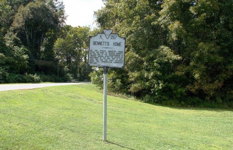
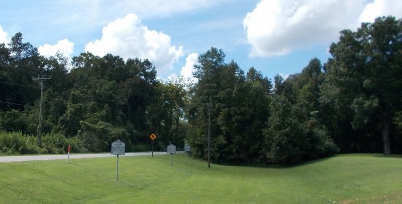
Revision, September 25, 2018: The marker is back. As of September 10, 2018, a refurbished Bennett’s Home (K-257) marker was reinstalled in a new location. It now stands on the opposite side of Nansemond Parkway with Glebe Church. See Exhibit B. Its new location is diagonally across from its old one. See Exhibit C.
Before it was previously noticed as missing on April 29, 2018, the marker had stood on the right of eastbound traffic on the parkway. Its map coordinates were formerly listed as 36°49.439ˊN and 76°29.843ˊW. (By Cynthia L. Clark)
Photographed By Cynthia L. Clark, May 5, 2018
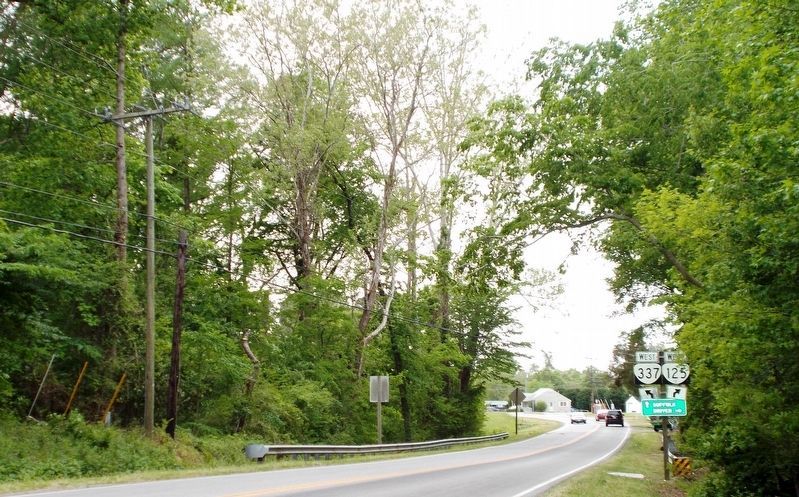
3. Exhibit A: K-257 is Missing.
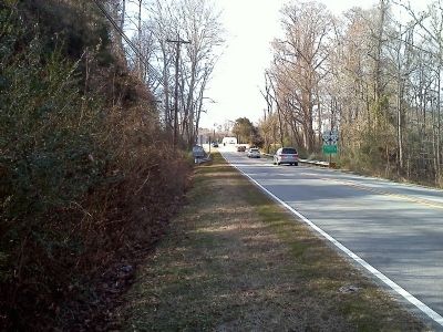
The viewer’s point of focus is two utility poles (pictured left), standing side-by-side near a skinny tall tree. One pole is short and dark. The other is tall and grayish. Marker number K-257 Bennett’s Home once stood near these poles. See both photos by James Thomson, submitted on January 14, 2011. In his first one, the short dark pole is pictured in the left background of K-257. And the tall pole towers prominently in the background of the second.
Photographed By Cynthia L. Clark, September 10, 2018
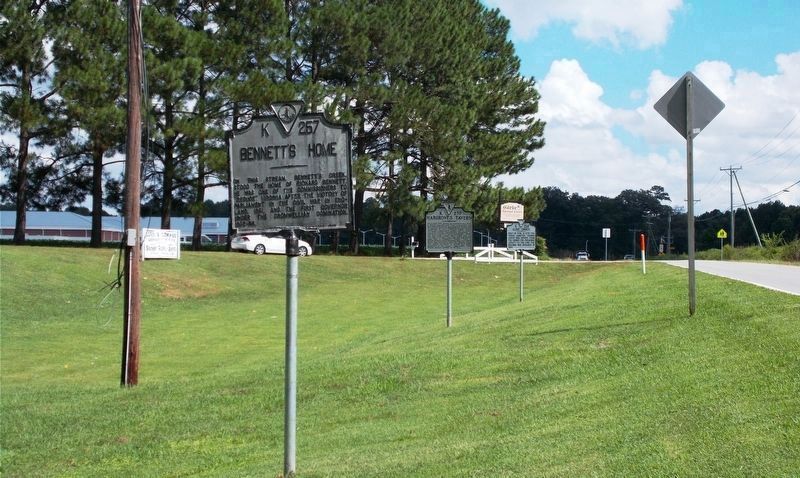
4. Exhibit B: Bennett’s Home (K-257) marker in its new location.
This eastward view shows how marker K-257 shares Glebe Church’s lawn with markers K-270 Hargrove’s Tavern (second) and K-258 Glebe Church. Visible in the far left background is the white rooftop of the newly constructed Florence Bowser Elementary School.
Credits. This page was last revised on October 17, 2023. It was originally submitted on January 14, 2011, by James Thomson of Chesapeake, United States. This page has been viewed 1,447 times since then and 91 times this year. Last updated on September 25, 2018, by Cynthia L. Clark of Suffolk, Virginia. Photos: 1, 2. submitted on January 14, 2011, by James Thomson of Chesapeake, United States. 3. submitted on June 14, 2018, by Cynthia L. Clark of Suffolk, Virginia. 4, 5, 6. submitted on September 25, 2018, by Cynthia L. Clark of Suffolk, Virginia. • Bernard Fisher was the editor who published this page.
