Near Castile in Wyoming County, New York — The American Northeast (Mid-Atlantic)
Wolf Creek
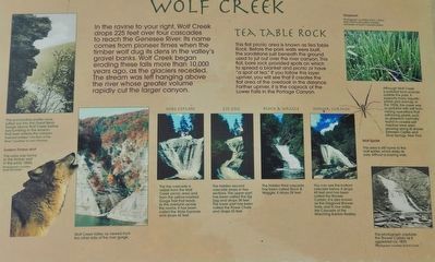
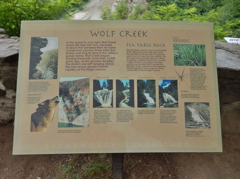
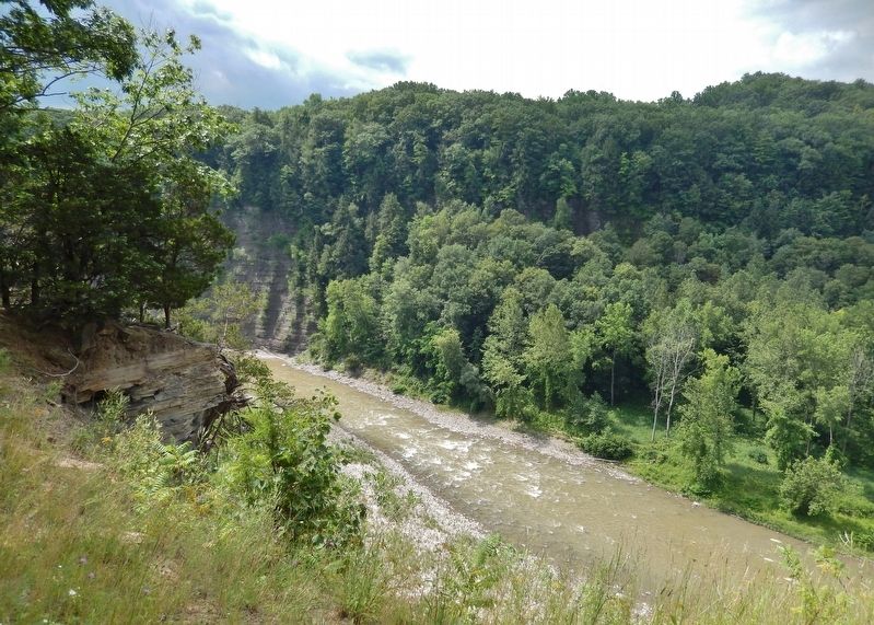
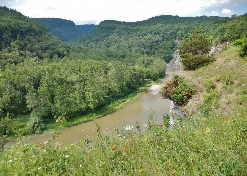
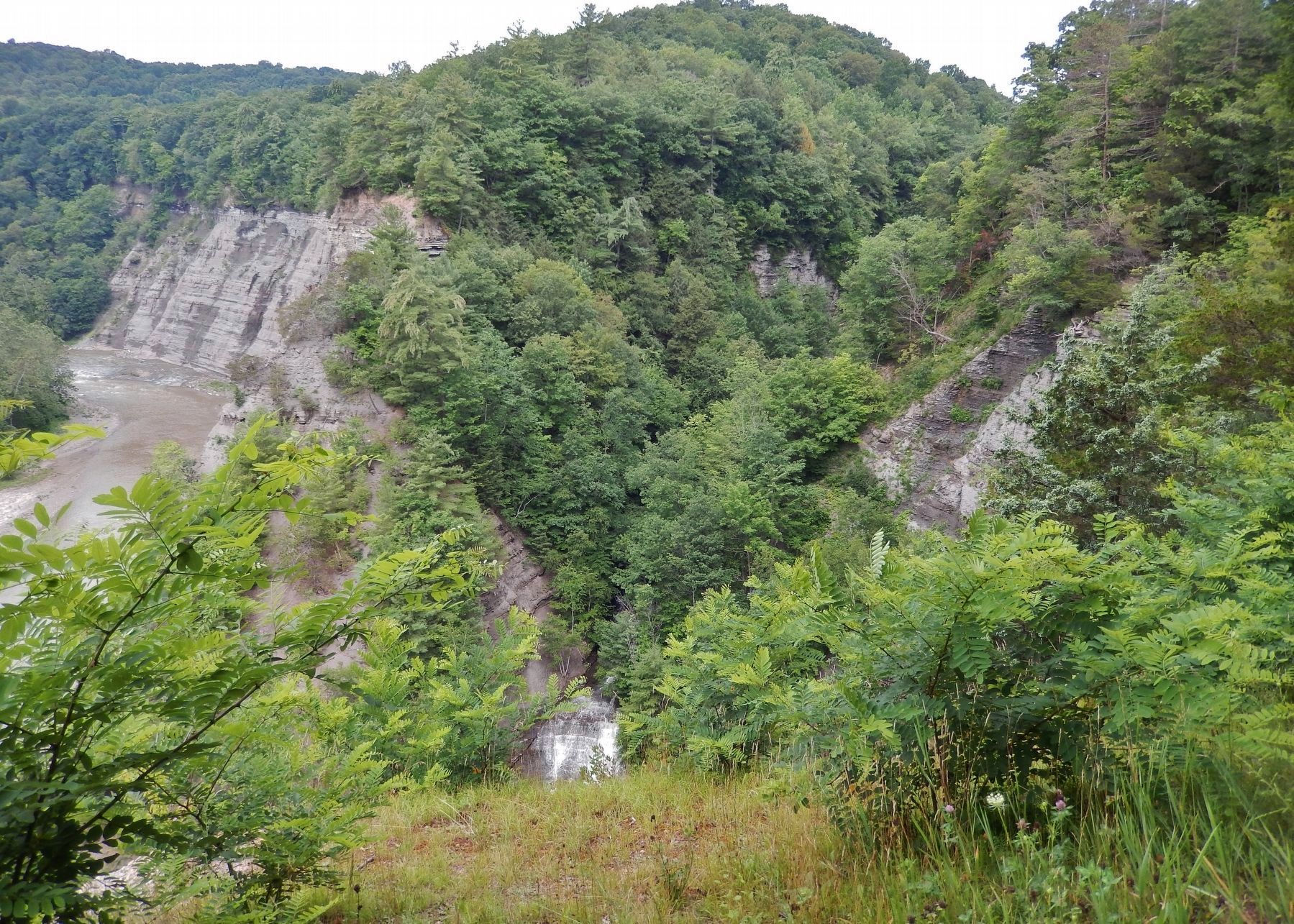
In the ravine to your right, Wolf Creek drops 225 feet over four cascades to reach the Genesee River. Its name comes from pioneer times when the timber wolf dug its dens in the valley's gravel banks. Wolf Creek began eroding these falls more than 10,000 years ago, as the glaciers receded. The stream was left hanging above the river whose greater volume rapidly cut the larger canyon.
Tea Table Rock
This flat picnic area is known as Tea Table Rock. Before the park walls were built, the sandstone just beneath the ground used to jut out over the river canyon. This flat, bare rock provided spots on which to spread a blanket and picnic or have "a spot of tea." If you follow this layer upriver, you will see that it creates the flat area of the overlook in the distance. Farther upriver, it is the caprock of the Lower Falls in the Portage Canyon.
Eastern Timber Wolf
This area was home to the timber wolf in the early 1800s.
Wide Expanse
The top cascade is visible from the Wolf Creek picnic area and from the yellow-marked Gorge Trail that leads to the overlook across the ravine. It has been called the Wide Expanse and drops 65 feet.
Zig Zag
The hidden second cascade drops in two sections. The upper part has been called the Zig Zag and drops 38 feet. The lower part has been called the Power Chute and drops 35 feet.
Block & Waggle
The hidden third cascade has been called Block & Waggle; it drops 28 feet.
Shower Curtain
You can see the bottom cascade below. It drops 60 feet and has been called the Shower Curtain. It is also known as the Diagonal Shower Hole, and in low water, the Cascade of the Marching Bubble Beetles.
Glasswort
Although Wolf Creek is polluted from sources outside the park, it supports many aquatic plants and animals. In the 1920s, the creek was so polluted with salt from mining operations that salt-loving plants, such as glasswort, normally found in coastal salt marshes were seen growing along its shores between Castile and Silver Springs, New York.
Wolf Spider
This area is still home to the wolf spider, which stalks its prey without a snaring web.
Topics. This historical marker is listed in these topic lists: Natural Features • Parks & Recreational Areas.
Location. 42° 36.757′ N, 78° 0.517′ W. Marker is near Castile, New York, in Wyoming County. Marker can be reached from Letchworth Park Road, 0.2 miles south of Degolyer Road (County Route 41), on the left when traveling south. Marker is located inside Letchworth State Park, near the "Eddys" parking lot, 2.3 miles north of the Castile entrance from Denton Conners Road. Touch for map. Marker is in this post office area: Castile NY 14427, United States of America. Touch for directions.
Other nearby markers. At least 8 other markers are within 2 miles of this marker, measured as the crow flies. Gardeau Tract (approx. half a mile away); CCC Camp 76, SP 37 at Work (approx. 0.7 miles away); Site of St Helena Camp 76, SP 37 (approx. 0.8 miles away); St. Helena (approx. 0.9 miles away); Site of Camp 23, Sp 5 - Letchworth State Park's first camp (approx. 0.9 miles away); Welcome to Big Bend Camp 23, SP 5 (approx. 0.9 miles away); The Civilian Conservation Corps (approx. 0.9 miles away); Lower Falls Camp SP-49 (approx. 1˝ miles away). Touch for a list and map of all markers in Castile.
Credits. This page was last revised on June 18, 2018. It was originally submitted on June 15, 2018, by Cosmos Mariner of Cape Canaveral, Florida. This page has been viewed 220 times since then and 15 times this year. Photos: 1, 2, 3, 4, 5. submitted on June 15, 2018, by Cosmos Mariner of Cape Canaveral, Florida. • Andrew Ruppenstein was the editor who published this page.
