Sturbridge in Worcester County, Massachusetts — The American Northeast (New England)
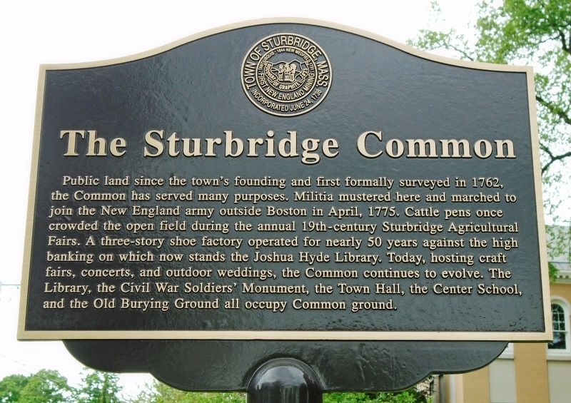
The Sturbridge Common
Erected by the Town of Sturbridge.
Topics. This historical marker is listed in these topic lists: Colonial Era • Settlements & Settlers. A significant historical month for this entry is April 1775.
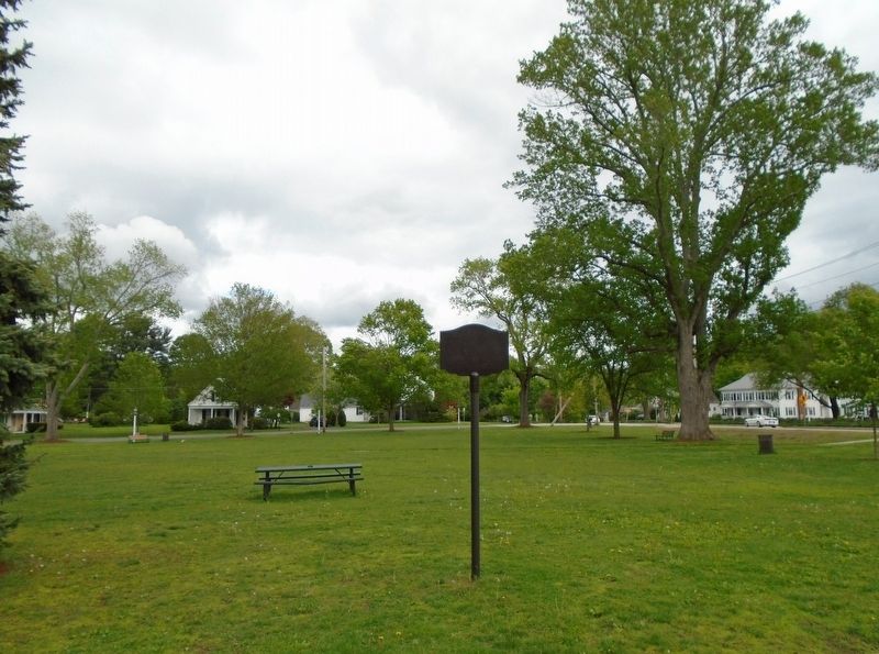
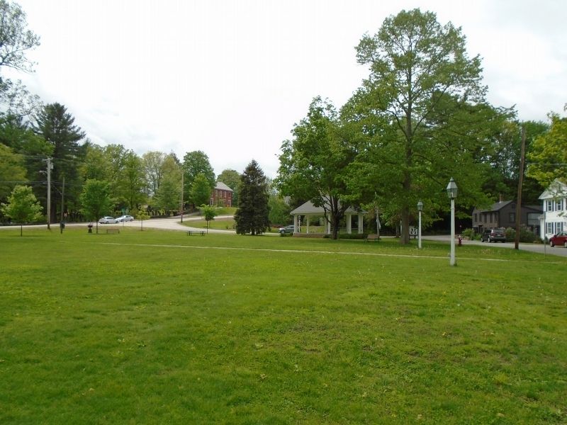
Location. 42° 6.474′ N, 72° 4.773′ W. Marker is in Sturbridge, Massachusetts, in Worcester County. Marker is on Morse Street north of Main Street (Massachusetts Route 131), on the right when traveling north. Marker is near the west end of the Sturbridge Common. Touch for map. Marker is in this post office area: Sturbridge MA 01566, United States of America. Touch for directions.
Other nearby markers. At least 8 other markers are within walking distance of this marker. Civil War Soldier's Monument (within shouting distance of this marker); The Old Burial Ground (within shouting distance of this marker); Commerce on the Common (within shouting distance of this marker); "Witness Tree" (about 300 feet away, measured in a direct line); Revere Bell (about 300 feet away); The Center School (about 300 feet away); War Memorial (about 300 feet away); Lt. Charles J. Collins USAAC (about 300 feet away). Touch for a list and map of all markers in Sturbridge.
Also see . . . An historical sketch of Sturbridge, Mass., from its settlement to the present time (Clark, 1838). (Submitted on June 15, 2018, by William Fischer, Jr. of Scranton, Pennsylvania.)
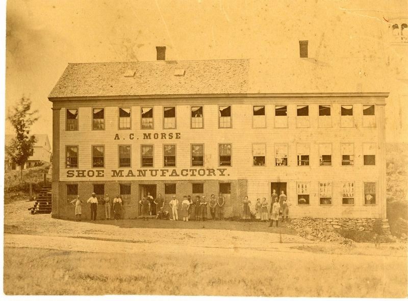
Photo courtesy of the Joshua Hyde Public Library, 1870
5. A. C. Morse Shoe Manufactory
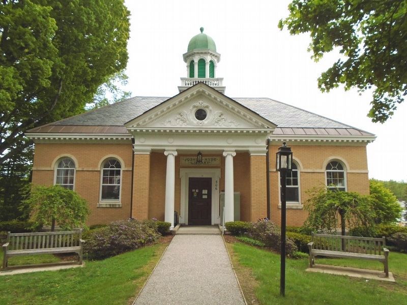
"Currently the site of Joshua Hyde library, this image shows the A.C. Morse Shoe Manufactory sometime between 1868-1877. The original building, on the town common, was built in 1850, by Elisha Southwick. Mr. Southwick obtained permission and a lease from the town, in 1850. Subsequently, he leased the business to Merrick and Allen and joined them in a partnership, in 1859. Mr. Merrick and Mr. Allen left the firm and Southwick continued the business until his son-in-law, A.C. Morse took over the business, about 1868. Hiram Carter bought an interest, in 1869 and the business name became Morse and Carter. Mr. Carter withdrew and Mr. Morse continued in business, alone, until about 1877. A group of workers is depicted standing at the east side of the A.C.Morse building." - Joshua Hyde Public Library
Credits. This page was last revised on October 16, 2020. It was originally submitted on June 15, 2018, by William Fischer, Jr. of Scranton, Pennsylvania. This page has been viewed 229 times since then and 16 times this year. Photos: 1, 2, 3, 4. submitted on June 15, 2018, by William Fischer, Jr. of Scranton, Pennsylvania. 5. submitted on June 15, 2018.
