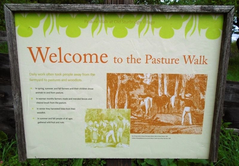
Welcome to the Pasture Walk
Daily work often took people away from
the farmyard to pastures and woodlots.
• In spring, summer, and fall farmers and their children
drove animals to and from pasture.
• In warmer months farmers made and mended fences
and cleared brush from the pasture.
• In winter they harvested trees from their woodlot.
• In summer and fall people of all ages
gathered wild fruit and nuts.
————————————
[Background illustration captions read]
• Boy Driving Cattle to Pasture from Jacob Abbott,
Rollo at School, Boston, 1839.
• Children Picking Blueberries from Jacob Abbott,
Cousin Lucy at Play. New York, 1859.
Erected by Old Sturbridge Village.
Topics. This historical marker is listed in these topic lists: Agriculture • Environment • Settlements & Settlers. A significant historical year for this entry is 1839.
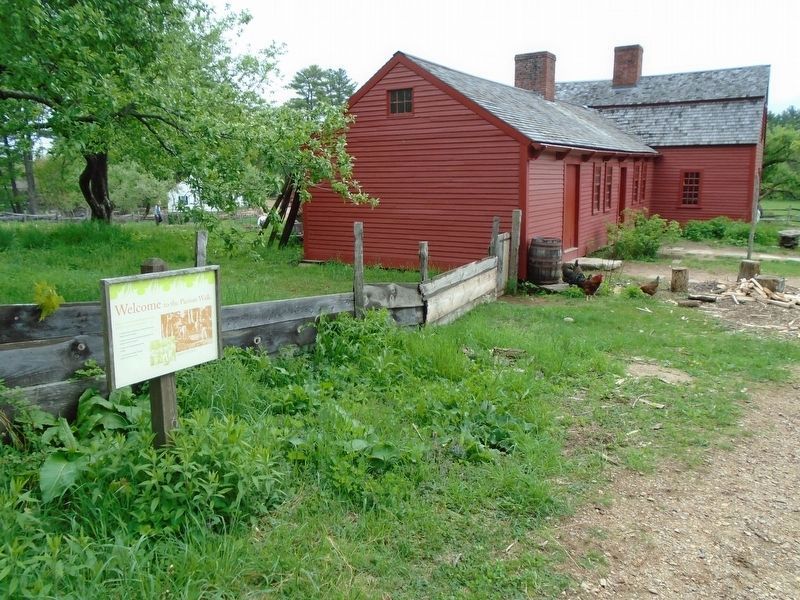
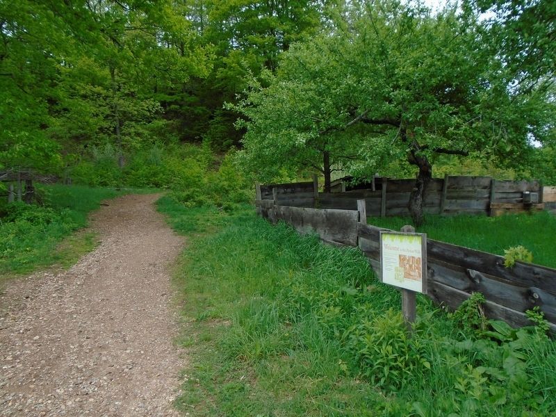
Location. 42° 6.232′ N, 72° 5.809′ W. Marker is in Sturbridge, Massachusetts, in Worcester County. Marker and Pasture Walk are at the Freeman Farm, on the Old Sturbridge Village grounds. Touch for map. Marker is at or near this postal address: 1 Old Sturbridge Village Road, Sturbridge MA 01566, United States of America. Touch for directions.
Other nearby markers. At least 8 other markers are within
Also see . . . Freeman Farm at Old Sturbridge Village. (Submitted on June 18, 2018, by William Fischer, Jr. of Scranton, Pennsylvania.)
Credits. This page was last revised on June 18, 2018. It was originally submitted on June 18, 2018, by William Fischer, Jr. of Scranton, Pennsylvania. This page has been viewed 120 times since then and 14 times this year. Photos: 1, 2, 3. submitted on June 18, 2018, by William Fischer, Jr. of Scranton, Pennsylvania.


