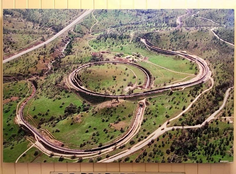
Near Tehachapi in Kern County, California — The American West (Pacific Coastal)
Tehachapi Pass Railroad Line
Constructed 1874 – 1876
— Commemorated October 1998 —
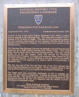
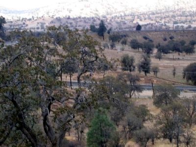
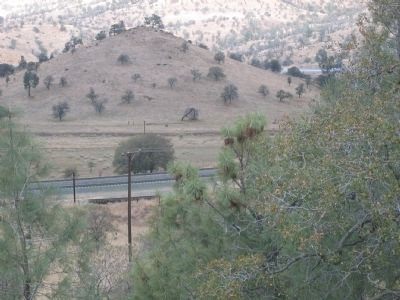
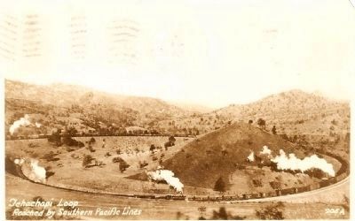
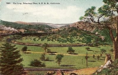
In front of you is the world famous Tehachapi Loop which is about halfway upgrade to the Tehachapi Pass. This steep line averages 2.2% in gradient in its 28 miles of length. This feat of civil engineering genius was crowning achievement of civil engineer William Hood of the Southern Pacific Railway Company. It is one of the seven wonders of the railroad world.
The Tehachapi Pass Railroad Line was cut through solid and decomposed granite by up to 3000 Chinese laborers from Canton, China. They used picks, shovels, horse drawn carts and blasting powder. This line, which climbs out of the San Joaquin Valley and through the Tehachapi Mountains had 18 tunnels, 10 bridges and numerous water towers for the old steam locomotives. It was completed in less than 2 years time under the leadership of civil engineer J.B. Harris, Chief of Construction, a remarkable feat.
This line was part of the last and final link of the first railroad line connecting San Francisco to Los Angeles. It was a primary factor in the early growth of the City of Los Angeles and the State of California.
This single track line, essentially unchanged, is still in constant use today, 122 years after its completion. It passes an average of 36 freight trains each day. This attests to the superior job of both engineering and construction done by the two civil engineers and the Chinese laborers.
Erected 1998 by History and Heritage Committee, Los Angeles Section and Southern San Joaquin Branch, American Society of Engineers.
Topics and series. This historical marker is listed in these topic lists: Industry & Commerce • Railroads & Streetcars. In addition, it is included in the ASCE Civil Engineering Landmarks series list.
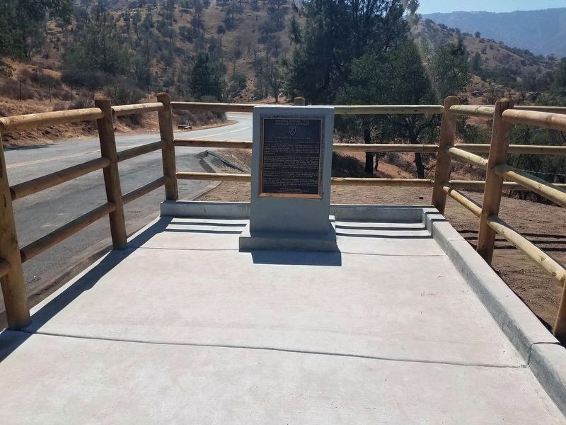
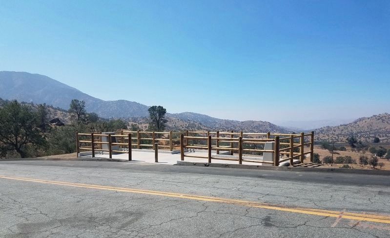
Location. 35° 11.701′ N, 118° 32.093′ W. Marker is near Tehachapi, California, in Kern County. Marker is on Woodford-Tehachapi Road, 3.2 mi E of Keene exit, on the left when traveling east. Touch for map. Marker is in this post office area: Keene CA 93531, United States of America. Touch for directions.
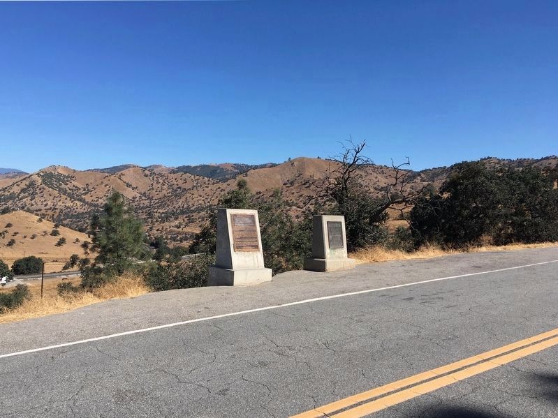
Other nearby markers. At least 8 other markers are within 5 miles of this marker, measured as the crow flies. Tehachapi Loop (a few steps from this marker); The Cross at the Loop (approx. 0.3 miles away); The Great Flood of 1932 and Engine No. 3834 (approx. ¾ mile away); Cesar E. Chavez National Monument (approx. 2.4 miles away); A Humble Home (approx. 2½ miles away); Helen's Park (approx. 2½ miles away); Nüwa - Kawaiisu People (approx. 4 miles away); "Old Town" (approx. 4.2 miles away). Touch for a list and map of all markers in Tehachapi.
Credits. This page was last revised on February 17, 2022. It was originally submitted on September 28, 2008, by Syd Whittle of Mesa, Arizona. This page has been viewed 4,181 times since then and 27 times this year. Last updated on May 26, 2019, by Craig Baker of Sylmar, California. Photos: 1. submitted on September 28, 2008, by Syd Whittle of Mesa, Arizona. 2, 3. submitted on August 12, 2021, by Denise Boose of Tehachapi, California. 4. submitted on September 21, 2019, by Craig Baker of Sylmar, California. 5, 6, 7, 8. submitted on September 28, 2008, by Syd Whittle of Mesa, Arizona. 9. submitted on September 21, 2019, by Craig Baker of Sylmar, California. • Andrew Ruppenstein was the editor who published this page.
