Near Belvue in Pottawatomie County, Kansas — The American Midwest (Upper Plains)
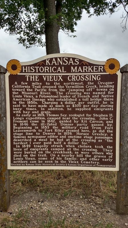
The Vieux Crossing
The crossing was named for Louis Vieux, a Potawatomi leader of French and Native American lineage who established a toll bridge there in the 1850s. Charging a dollar per outfit, he is said to have made as much as $300 per day during busy times. In addition, he supplied emigrants with hay and grain.
As early as 1819, Thomas Say, zoologist for Stephen H. Long's expedition, camped near the crossing. John C. Fremont came in 1842, guided by Kit Carson, and in 1846 the ill-fated Donner party passed by. Beginning in 1853 the military road from Fort Leavenworth to Fort Riley crossed here, as did the stage line to Denver in 1859. Horace Greeley, a famous newspaper editor and onetime stage passenger, described a meal he had at the crossing as "the hardest I ever paid half a dollar for."
In 1849 tragedy struck when cholera took the lives of emigrants camped at the crossing. They were buried on the creekbank, as were others who died on the trail. On a nearby hill the graves of Louis Vieux, some of his family, and other early settlers can be seen in the Vieux Cemetery.
Erected by Kansas State Historical Society and Kansas Department of Transportation. (Marker Number 19.)
Topics. This historical marker is listed in these topic lists: Cemeteries & Burial Sites • Forts and Castles • Native Americans • Settlements & Settlers. A significant historical year for this entry is 1819.
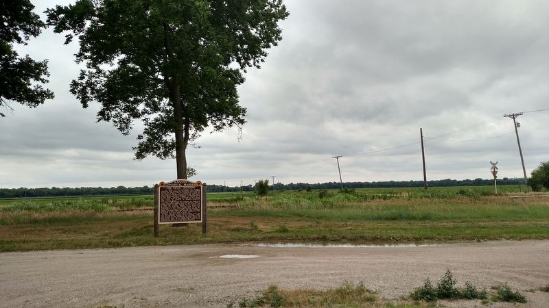
Location. 39° 12.999′ N, 96° 12.17′ W. Marker is near Belvue, Kansas, in Pottawatomie County. Marker is at the intersection of Camp Creek Road and U.S. 24, on the right when traveling east on Camp Creek Road. Touch for map. Marker is in this post office area: Belvue KS 66407, United States of America. Touch for directions.
Other nearby markers. At least 8 other markers are within 6 miles of this marker, measured as the crow flies. Great Military Road (approx. 2.8 miles away); Vieux Cemetery (approx. 3˝ miles away); Old Dutch Mill (approx. 5.4 miles away); Sand and Quartz Boulder (approx. 5.4 miles away); 1893 Chicago World's Fair Statues (approx. 5.4 miles away); Pottawatomie County (approx. 5˝ miles away); World War Memorial (approx. 5˝ miles away); Colonel Raymond E. Morris, USAF Retired (approx. 5.6 miles away).
Credits. This page was last revised on March 27, 2024. It was originally submitted on June 22, 2018, by Mike Wintermantel of Pittsburgh, Pennsylvania. This page has been viewed 388 times since then and 36 times this year. Photos: 1, 2. submitted on June 22, 2018, by Mike Wintermantel of Pittsburgh, Pennsylvania.

