Near Mineral Wells in Palo Pinto County, Texas — The American South (West South Central)
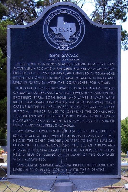
Sam Savage
Captive of the Comanches
The attack on Bolin Savage's homestead occurred on March 2, 1866, and was followed by a raid on his brother's farm. Both Bolin and James Savage were killed. Sam Savage, his brother, and a cousin were taken captive by the Indians. A posse headed by Parker County Judge A.J. Hunter failed to overtake the Comanches. The children were discovered by trader John Fields in November 1866 and were ransomed for the sum of $414 at Fort Arbuckle, Oklahoma.
Sam Savage lived until the age of 90 to relate his experiences of life with the Indians. After a time, he and the other children adapted to their situation, learning the language and the use of a bow and arrow. In 1911, Sam Savage and the trader, John Fields, held a reunion during which many of the old tales were recounted.
Sam Savage married Arizona Pierce in 1881, and they lived in Palo Pinto County until their deaths.
Erected 1986 by Texas Historical Commission. (Marker Number 4506.)
Topics. This historical marker is listed in these topic lists: Native Americans • Settlements & Settlers. A significant historical date for this entry is March 2, 1866.
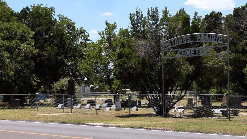
Location. 32° 50.535′ N, 98° 4.973′ W. Marker is near Mineral Wells, Texas, in Palo Pinto County. Marker is at the intersection of Farm to Market Road 1821 and Sundown Drive, on the left when traveling north on Highway 1821. Touch for map. Marker is at or near this postal address: 3607 Sundown Dr, Mineral Wells TX 76067, United States of America. Touch for directions.
Other nearby markers. At least 8 other markers are within 3 miles of this marker, measured as the crow flies. Old Camp Wolters (approx. 1.8 miles away); Fort Wolters (approx. 2.3 miles away); Famous Mineral Water Company (approx. 2.7 miles away); Dr. H.H. Milling (approx. 2.7 miles away); Old Mineral Wells Post Office (approx. 2.7 miles away); First Mineral Water Well (approx. 2.9 miles away); Mineral Wells (approx. 2.9 miles away); Weatherford, Mineral Wells & Northwestern Railway Depot (approx. 3 miles away). Touch for a list and map of all markers in Mineral Wells.
Credits. This page was last revised on June 24, 2018. It was originally submitted on June 24, 2018, by Larry D. Moore of Del Valle, Texas. This page has been viewed 696 times since then and 67 times this year. Photos: 1, 2. submitted on June 24, 2018, by Larry D. Moore of Del Valle, Texas. • Bernard Fisher was the editor who published this page.

