La Mesilla in Tecozautla, Hidalgo, Mexico — The Central Highlands (North America)
The Path of the Sun
El camino del sol
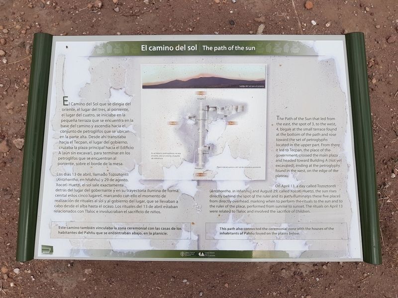
El Camino del Sol que se dirigía del oriente, el lugar del tres, al poniente, el lugar del cuatro, se iniciaba en la pequeña terraza que se encuentra en la Norte base del camino y ascendía hacia el conjunto de petroglifos que se ubican en la parte alta. Desde ahí transitaba hacia el Tecpan, el lugar del gobierno, cruzaba la plaza principal hacia el Edificio A (aún sin excavar), para terminar en los petroglifos que se encuentran al poniente, sobre el borde de la mesa.
Los días 13 de abril, llamado Tozoztontli (Antzhontho, en hñahñu) y 29 de agosto, Xocotl-Huetzi, el sol sale exactamente detrás del lugar del gobernante y en su trayectoria ilumina de forma cenital estos cinco lugares, marcando con ello el momento de realización de rituales al sol y al gobierno del lugar, que se llevaban a cabo desde el alba hasta el ocaso. Los rituales del 13 de abril estaban relacionados con Tlaloc e involucraban el sacrificio de niños.
Este camino también vinculaba la zona ceremonial con las casas de los habitantes del Pahñu que se encontraban abajo, en la planicie.
Pie de dibujos: Salida del sol por el oriente
En el México prehispanico, no era el norte, sino el oriente, el punto de referencia.
Plano con el camino del sol de oriente a poniente
The path of the sun
The Path of the Sun that led from the east, the spot of 3, to the west, 4, began at the small terrace found at the bottom of the path and rose toward the set of petroglyphs located in the upper part. From there it led to Tecpan, the place of the government, crossed the main plaza and headed toward Building A (not yet excavated), ending at the petroglyphs found in the west, on the edge of the plateau.
On April 13, a day called Tozoztontli (Antzhontho, in Hñahñu) and August 29, called Xocotl-Huetzi, the sun rises directly behind the spot of the ruler and its path illuminates these five places from directly overhead, marking when to perform the rituals to the sun and to the ruler of the place, performed from sunrise to sunset. The rituals on April 13 were related to Tlaloc and involved the sacrifice of children.
This path also connected the ceremonial zone with the houses of the inhabitants of Pahñu found on the plains below.
Captions (English translation): Sunrise from the east
In prehispanic Mexico, it was not the north, but rather the east was the main point of reference.
Map of the
path of the sun from east to west.
Erected by Consejo Nacional para la Cultura y las Artes (CONACULTA) y el Instituto Nacional de Anthropología e Historia (INAH).
Topics. This historical marker is listed in these topic lists: Anthropology & Archaeology • Churches & Religion • Man-Made Features • Native Americans. A significant historical year for this entry is 1500.
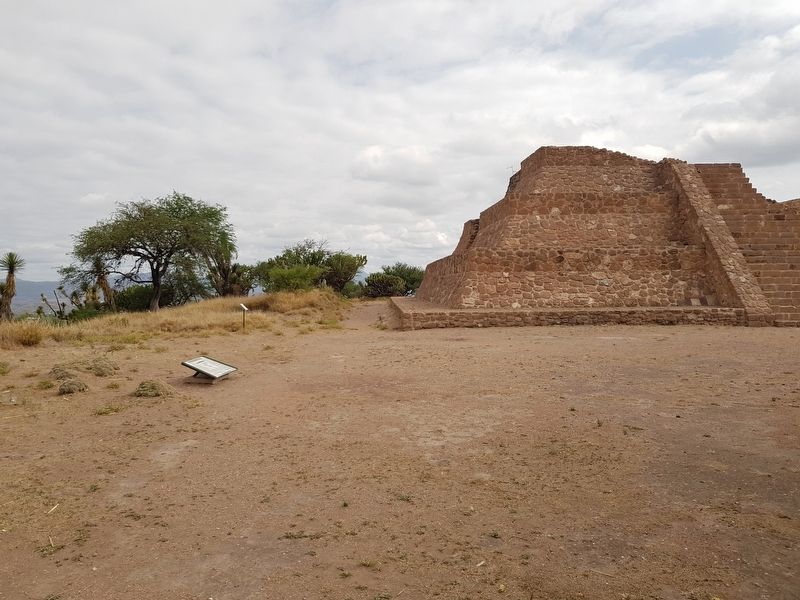
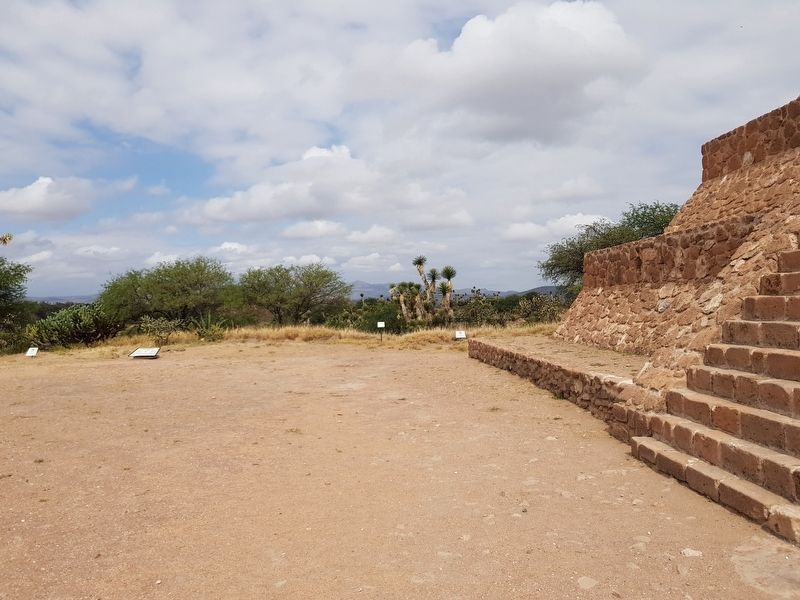
Location. 20° 30.33′ N, 99° 41.096′ W. Marker is in La Mesilla, Hidalgo, in Tecozautla. Marker can be reached from Entrada del Sitio Arqueológico de Pahñu, on the left when traveling north. The marker is near the southwest corner of the Pyramid of the Sun at Pahñu. Touch for map. Marker is in this post office area: La Mesilla HGO 42460, Mexico. Touch for directions.
Other nearby markers. At least 8 other markers are within walking distance of this marker. The Plaza and the Xiuhtecuhtli Temple (a few steps from this marker); Pyramid on Pyramid: the South Steps (within shouting distance of this marker); The Sacred Landscape (within shouting distance of this marker); Tecpan: “The Government House” (within shouting distance of this marker); Tecpan: The Place of Duality (within shouting distance of this marker); Circular Altar or Wheel of Sacrifice (Temalácatl) (within shouting distance of this marker); The Calendar on the Landscape
(within shouting distance of this marker); A Sacred Triangle and the Temple of the Sun (within shouting distance of this marker). Touch for a list and map of all markers in La Mesilla.
Credits. This page was last revised on June 25, 2018. It was originally submitted on June 24, 2018, by J. Makali Bruton of Accra, Ghana. This page has been viewed 131 times since then and 5 times this year. Photos: 1, 2, 3. submitted on June 24, 2018, by J. Makali Bruton of Accra, Ghana.


