La Mesilla in Tecozautla, Hidalgo, Mexico — The Central Highlands (North America)
The Calendar on the Landscape
El calendario en el paisaje
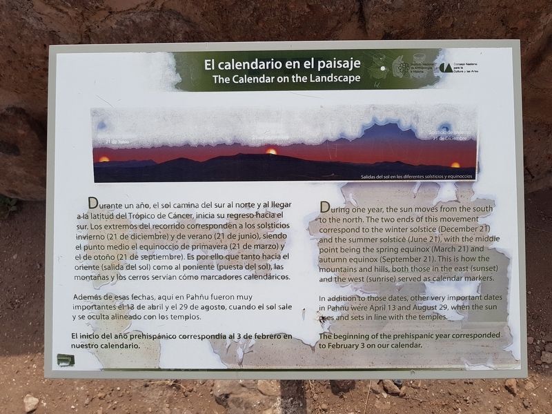
Durante un año, el sol camina del sur al norte y al llegar a la latitud del Trópico de Cáncer, inicia su regreso hacia el sur. Los extremos del recorrido corresponden a los solsticios invierno (21 de diciembre) y de verano (21 de junio), siendo el punto medio el equinoccio de primavera (21 de marzo) y el de otoño (21 de septiembre). Es por ello que tanto hacia el oriente (salida del sol) como al poniente (puesta del sol), las montañas y los cerros servían como marcadores calendáricos.
Además de esas fechas, aquí en Pahñu fueron muy importantes el 13 de abril y el 29 de agosto, cuando el sol sale y se oculta alineado con los templos.
El inicio del año prehispánico correspondía al 3 de febrero en nuestro calendario.
Pie de dibujo: Salidas del sol en los diferentes solsticios y equinoccios
The Calendar on the Landscape
During one year, the sun moves from the south to the north. The two ends of this movement correspond to the winter solstice (December 21 and the summer solstice (June 21), with the middle point being the spring equinox (March 21) and autumn equinox (September 21). This is how the mountains and hills, both those in the east (sunset sic, sunrise) and the west (sunrise sic, sunset) served as calendar markers.
In addition to those dates, other very important dates in Pahñu were April 13 and August 29, when the sun rises and sets in line with the temples.
The beginning of the prehispanic year corresponded to February 3 on our calendar.
Caption (English translation): Sunrise from the different soltices and equinoxes
Erected by Consejo Nacional para la Cultura y las Artes (CONACULTA) y el Instituto Nacional de Anthropología e Historia (INAH).
Topics. This historical marker is listed in these topic lists: Anthropology & Archaeology • Native Americans. A significant historical year for this entry is 1500.
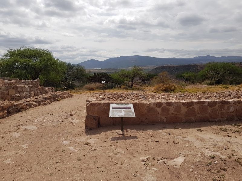
Location. 20° 30.319′ N, 99° 41.07′ W. Marker is in La Mesilla, Hidalgo, in Tecozautla. Marker can be reached from Entrada del Sitio Arqueológico de Pahñu, on the right when traveling north. The marker is just south of the Tecpan of Pahñu. Touch for map. Marker is in this post office area: La Mesilla HGO 42460, Mexico. Touch for directions.
Other nearby markers. At least 8 other markers are within walking distance of this marker. Tecpan: The Place of Duality (a few steps from this marker); Tecpan: “The Government House” (a few steps from this marker); The Plaza and the Xiuhtecuhtli Temple
(within shouting distance of this marker); Circular Altar or Wheel of Sacrifice (Temalácatl) (within shouting distance of this marker); Pyramid on Pyramid: the South Steps (within shouting distance of this marker); A Sacred Triangle and the Temple of the Sun (within shouting distance of this marker); The Path of the Sun (within shouting distance of this marker); Messages in the Rocks: Petroglyphs (within shouting distance of this marker). Touch for a list and map of all markers in La Mesilla.
Credits. This page was last revised on June 25, 2018. It was originally submitted on June 24, 2018, by J. Makali Bruton of Accra, Ghana. This page has been viewed 109 times since then and 3 times this year. Photos: 1, 2, 3. submitted on June 24, 2018, by J. Makali Bruton of Accra, Ghana.


