Lowman in Boise County, Idaho — The American West (Mountains)
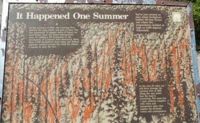
It Happened One Summer
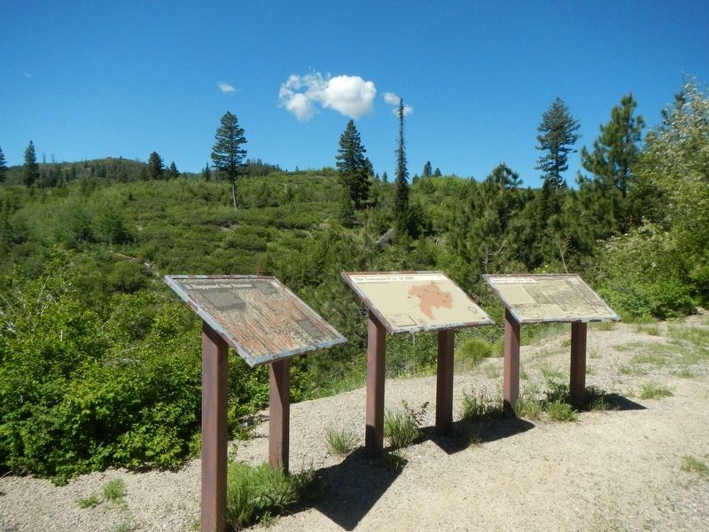
(Three panels make up this marker:)
In the summer of 1989, the Lowman Fire burned the area north and east of here. The fire consumed 72 square miles of forest, and area larger than the Boise metropolitan area. In addition, 26 structures in the community of Lowman were destroyed. More than 2,300 firefighters from state and federal agencies worked around the clock for almost a month to stop the fire.
You've just entered an area where firefighters battled 100 foot flames and where fire temperatures reached as high as 1,000 degrees Fahrenheit.
In the next 22 miles you will drive through the Lowman Fire of 1989. Along the way, notice how the land is recovering. The route has 7 more pullouts complete with views and interpretive signs that explain the dramatic events and consequences.
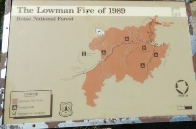
(Map of the burned area)
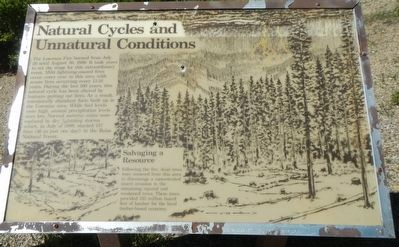
The Lowman Fire burned from July 26 until August 30, 1989. It took years to set the stage for this extraordinary event. Mild lightning-caused fires occur every year in this area severe fires occurring every 13-16 years. During the last 100 years, this natural cycle has been altered by humans putting out fires. As a result, unnaturally abundant fuels built up in the Lowman area. While fuel levels are high annual precipitation levels were low, Normal summer rains were replaced by dry lightning storms which, in July of 1989, started 157 fires (36 in just one day!) in the Boise National Forest.
Salvaging a Resource
Following the fire, dead trees were removed from this area to discourage a concentrated insect invasion in the remaining injured and weakened trees. These trees provided 125 million board feet of lumber for the local timber-based economy.
Erected by U.S. Forest Service, Boise National Forest.
Topics. This historical marker is listed in these topic lists: Disasters • Horticulture & Forestry. A significant historical date for this entry is July 26, 1989.
Location. 44° 1.524′ N, 115° 37.23′ W. Marker is in Lowman, Idaho, in Boise County. Marker is on Ponderosa Pines Scenic Byway (State Highway 21) near Forest Road 364, on the left when traveling north. Touch for map. Marker is in this post office area: Lowman ID 83637, United States of America. Touch for directions.
Other nearby markers. At least 5 other markers are within 9 miles of this marker, measured as the crow flies. A Community in Trouble (approx. 3.7 miles away); Life in a Fire Camp (approx. 3.7 miles away); Lowman (approx. 4 miles away); Emma Edwards (approx. 5˝ miles away); CCC Shapes the Payette Drainage (approx. 8.8 miles away).
More about this marker. From all appearances, the area has burned again more recently.
Also see . . . 30th Anniversary Of Boise National Forest ‘Lowman Fire' Approaching. KEZJ 97.5 website entry (February 28, 2019) (Submitted on April 8, 2022, by Larry Gertner of New York, New York.)
Credits. This page was last revised on April 8, 2022. It was originally submitted on June 25, 2018, by Barry Swackhamer of Brentwood, California. This page has been viewed 609 times since then and 35 times this year. Photos: 1, 2, 3, 4. submitted on June 25, 2018, by Barry Swackhamer of Brentwood, California.


