Riggins in Idaho County, Idaho — The American West (Mountains)
Manning Crevice Bridge
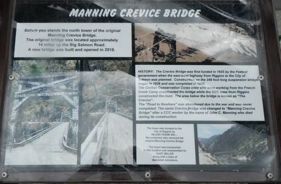
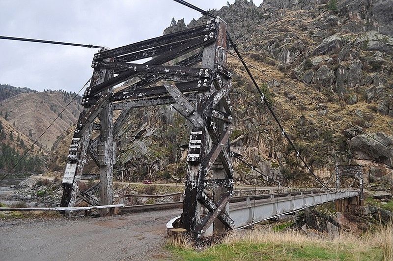
HISTORY: The Crevice Bridge was first funded in 1935 by the Federal government when the east-west highway from Riggins to the City of Salmon was planned. Construction on the 248 foot long suspension bridge began in 1938 and was completed in 1940.
The Civilian Conservation Corp crew who were working from the French Creek Camp constructed the bridge while the CCC crew from Riggins constructed the road. The area below the bridge is known as "The Crevice".
The "Road to Nowhere" was abandoned due to the war and was never completed. The name Crevice Bridge was changed to "Manning Crevice Bridge" after a CCC worker by the name of John C. Manning who died during its construction.
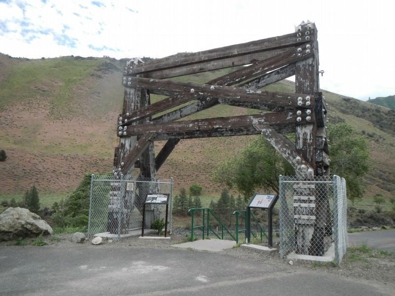
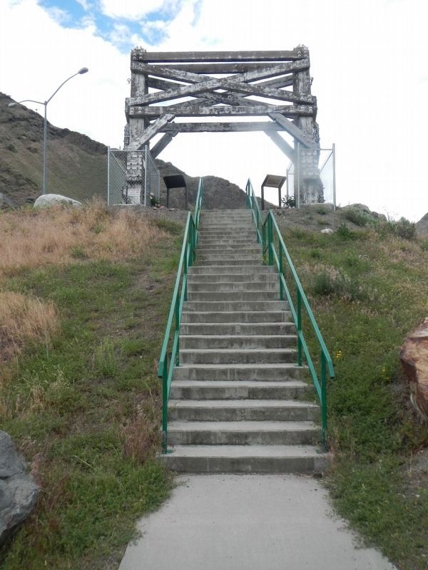
The tower was transported to this location and reassembled by Gary Miller along with a team of dedicated volunteers.
Erected by City of Riggins.
Topics and series. This historical marker is listed in this topic list: Bridges & Viaducts . In addition, it is included in the Civilian Conservation Corps (CCC) series list. A significant historical year for this entry is 1938.
Location. 45° 25.471′ N, 116° 18.775′ W. Marker is in Riggins, Idaho, in Idaho County. Marker can be reached from North Main Street (U.S. 95) near North Dixon Street, on the right when traveling north. Touch for map. Marker is at or near this postal address: 327 North Main Street, Riggins ID 83549, United States of America. Touch for directions.
Other nearby markers. At least 8 other markers are within walking distance of this marker. From The Beginning (here, next to this marker); The Scow (here, next to this marker); Riggins Area Honor Roll (within shouting distance of this marker); Keeping the Faith (about 400 feet away, measured in a direct line); Entrepreneur J.J. Goff (about 600 feet away); Educating Riggins' Children (about 700 feet away); Early Businesses (approx. 0.2 miles away); Riggins in the 1940s (approx. 0.2 miles away). Touch for a list and map of all markers in Riggins.
Credits. This page was last revised on June 28, 2018. It was originally submitted on June 28, 2018, by Barry Swackhamer of Brentwood, California. This page has been viewed 289 times since then and 38 times this year. Photos: 1, 2, 3, 4. submitted on June 28, 2018, by Barry Swackhamer of Brentwood, California.


