Near Canute in Washita County, Oklahoma — The American South (West South Central)
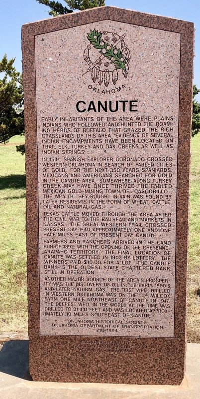
Canute
In 1541, Spanish explorer Coronado crossed Western Oklahoma in search of fabled cities of gold. For the next 350 years Spaniards, Mexicans and Americans searched for gold in the Canute area. Somewhere along Turkey Creek may have once thrived the fabled Mexican gold mining town of Cascorillo. The wealth they sought in vain was found by later residents in the form of wheat, cattle, oil and natural gas.
Texas cattle moved through the area after the Civil War to the railhead and markets in Kansas. The Great Western Trail crossed present day I-40 approximately one and one half miles east of present day Canute.
Farmers and ranchers arrived in the Land Run of 1892 with the opening of the Cheyenne-Arapaho Territory. The final location of Canute was settled in 1902 by lottery. The winner paid $10.00 for a lot. The Canute Bank is the oldest state chartered bank still in operation.
Another major source of the area's prosperity was the discovery of oil in the early 1900's and later natural gas. The first well drilled in Western Oklahoma was on the C. H. Wilcox farm one mile northeast of Canute in 1917 the deepest well in the world at the time was drilled to 31441 feet and was located approximately 10 miles southeast of Canute.
Erected 1994 by Oklahoma Historical Society, Oklahoma Department of Transportation. (Marker Number 218.)
Topics and series. This historical marker is listed in these topic lists: Exploration • Industry & Commerce • Native Americans • Waterways & Vessels. In addition, it is included in the Oklahoma Historical Society series list. A significant historical year for this entry is 1541.
Location. 35° 25.305′ N, 99° 16.287′ W. Marker is near Canute, Oklahoma, in Washita County. Marker is on Old U.S. 66, 0.3 miles east of County Road N2080, in the median. Located near the Holy Family Cemetery. Touch for map. Marker is in this post office area: Canute OK 73626, United States of America. Touch for directions.
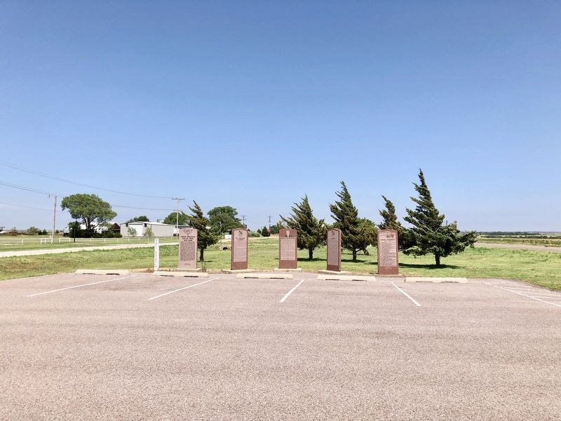
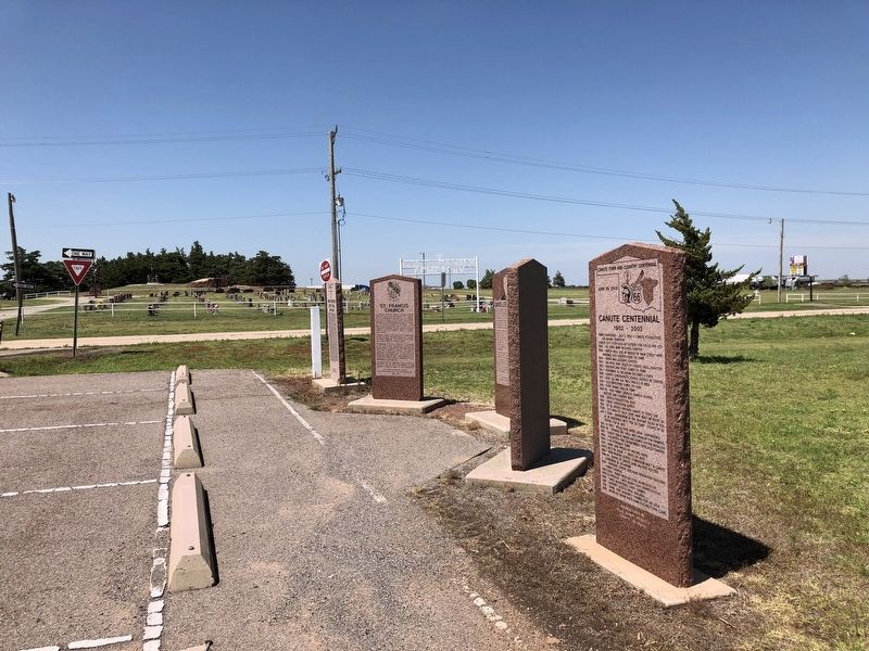
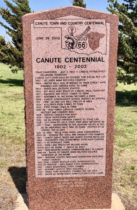
Other nearby markers. At least 8 other markers are within 10 miles of this marker, measured as the crow flies. David Lee Walters (here, next to this marker); Canute Centennial (here, next to this marker); St. Francis Church (here, next to this marker); Great Western Cattle Trail (here, next to this marker); Commotion (approx. 9.3 miles away); 1950's Model Train Replica of Elk City's Downtown District
(approx. 9.3 miles away); The Anadarko Basin (approx. 9.3 miles away); Rock Bluff School (approx. 9.3 miles away). Touch for a list and map of all markers in Canute.
Also see . . . Oklahoma Historical Society on Canute. (Submitted on June 29, 2018, by Mark Hilton of Montgomery, Alabama.)
Credits. This page was last revised on July 10, 2018. It was originally submitted on June 28, 2018, by Mark Hilton of Montgomery, Alabama. This page has been viewed 290 times since then and 31 times this year. Photos: 1, 2. submitted on June 28, 2018, by Mark Hilton of Montgomery, Alabama. 3, 4. submitted on June 29, 2018, by Mark Hilton of Montgomery, Alabama.


