Near Julesburg in Sedgwick County, Colorado — The American Mountains (Southwest)
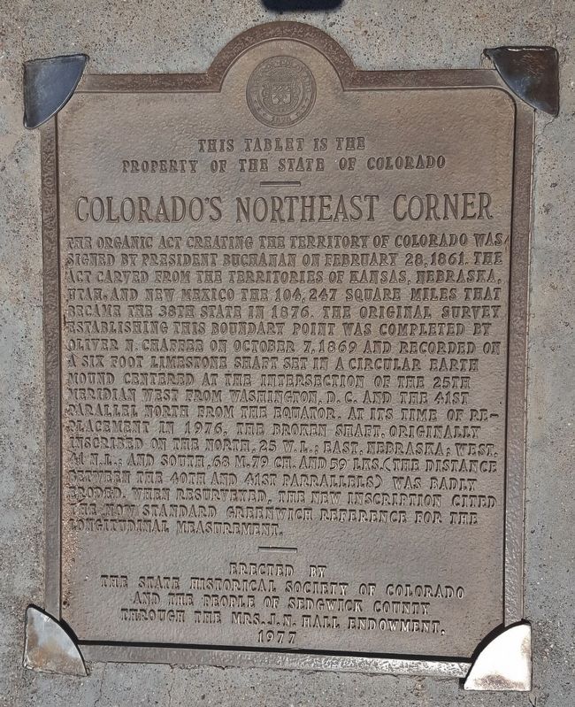
Colorado's Northeast Corner
Property of the State of Colorado
——
The Organic Act creating the Territory of Colorado was signed by President Buchanan on February 26, 1861. The act carved from the territories of Kansas, Nebraska, Utah and New Mexico the 104,247 square miles that became the 38th state in 1876. The original survey establishing this boundary point was completed by Oliver N. Chaffee on October 7, 1869 and recorded on a six foot limestone shaft set in a circular earth mound centered at the intersection of the 25th meridian west from Washington, D.C. and the 41st parallel north from the equator. At its time of replacement in 1976, the broken shaft, originally inscribed on the north, 25 W.L.; east, Nebraska; west, 41 N.L.; and south, 68 M. 79 CH. and 59 LKS. (the distance between the 40th and 41st parallels) was badly eroded. When resurveyed, the new inscription cited the now standard Greenwich reference for the longitudinal measurement.
Erected 1977 by The State Historical Society of Colorado and the People of Sedgwick County through the Mrs. J.N. Hall Endowment.
Topics and series. This historical marker is listed in these topic lists: Notable Places • Political Subdivisions . In addition, it is included in the Former U.S. Presidents: #15 James Buchanan series list. A significant historical date for this entry is February 26, 1861.
Location. 41° 0.141′ N, 102° 3.095′ W. Marker is near Julesburg, Colorado, in Sedgwick County. Marker is at the intersection of County Road 63.2 and County Road 36, on the right when traveling north on County Road 63.2. Located 4.3 miles southeast of Interstate 80 from the Big Springs, Nebraska exit, at the intersection of Nebraska's Deuel County Road 36 and Colorado's Sedgwick County Road 63.2. Touch for map. Marker is in this post office area: Julesburg CO 80737, United States of America. Touch for directions.
Other nearby markers. At least 8 other markers are within 5 miles of this marker, measured as the crow flies. Sedgwick County Colorado (here, next to this marker); Perkins County Nebraska (here, next to this marker in Nebraska); Keith County Nebraska (here, next to this marker in Nebraska); Deuel County Nebraska (within shouting distance of this marker in Nebraska); Sam Bass and the Big Springs Robbery (approx. 4.3 miles away in Nebraska); Waterman Sod House (approx. 4.3 miles away in Nebraska); Phelps Hotel (approx. 4.4 miles away in Nebraska); The Pony Express (approx. 4.4 miles away in Nebraska).
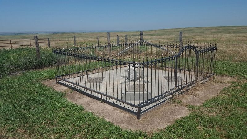
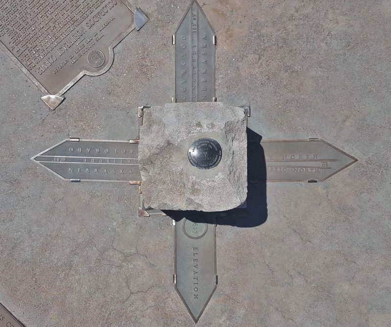
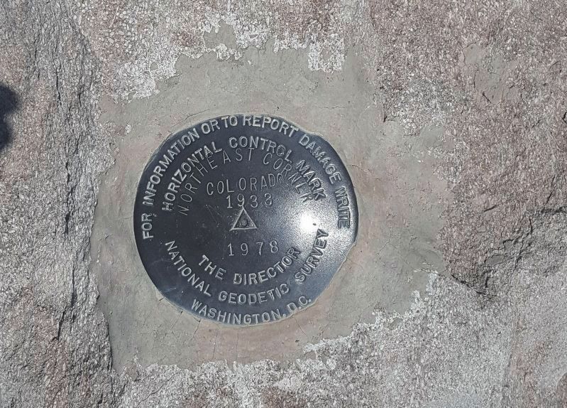
More about this marker. The marker is adjacent to a weathered stone post and directional
arrows marking the Colorado/Nebraska boundary and Colorado's Northeast Corner. The post is embedded in a concrete pad and surrounded by a wrought iron fence. The fenced enclosure also contains directional arrows and historical markers from each of the four surrounding counties - Sedgwick (CO), Perkins (NE), Keith (NE) and Deuel (NE).
Credits. This page was last revised on June 20, 2022. It was originally submitted on June 29, 2018, by Cosmos Mariner of Cape Canaveral, Florida. This page has been viewed 600 times since then and 40 times this year. Photos: 1, 2, 3, 4. submitted on June 29, 2018, by Cosmos Mariner of Cape Canaveral, Florida. • Syd Whittle was the editor who published this page.


