Junction City in Lane County, Oregon — The American West (Northwest)
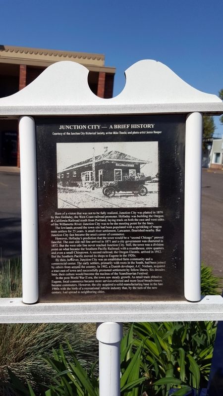
Junction City — A Brief History
The lowlands around the town site had been populated with a sprinkling of wagon train settlers for 25 years. A small river settlement, Lancaster, flourished nearby. But Junction City first became the area’s center of commerce.
However, Holladay’s prediction that the town would be a “second Chicago” proved fanciful. The east side rail line never reached Junction City. Still, the town was a division point on what became the Southern Pacific Railroad, with a roundhouse, crew quarters and even a small Chinatown. A second railroad, the Oregon Electric, arrived in 1912. But the Southern Pacific moved its shops to Eugene in the 1920s.
By then, however, Junction City was an established farm community and a commercial center. The early settlers, primarily with roots in the South, had been joined by others from around the country. In 1902, a Danish developer, A.C. Nelson, acquired a tract east of town and successfully promoted settlement by fellow Danes. Six decades later, their culture would become the nucleus of the Scandinavian Festival.
In the post-World War II era, the town saw steady growth. As retail trade ebbed to Eugene, local commerce became more service-oriented and more local breadwinners became commuters. However, the city acquired a solid manufacturing base in the late 1960s with the birth of a recreational vehicle industry that by the turn of the new century, had spread to neighboring cities.
Erected by Junction City Historical Society, writer Mike Thoele and photo artist Jamie Hooper.
Topics and series. This historical marker is listed in these topic lists: Industry & Commerce • Railroads & Streetcars • Settlements & Settlers. In addition, it is included in the Southern Pacific Railroad series list. A significant historical year for this entry is 1870.
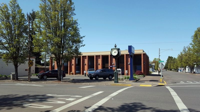
Location. 44° 13.16′ N, 123° 12.16′ W. Marker is in Junction City, Oregon, in Lane County. Marker is at the intersection of W 5th Avenue and Holly Street, on the right when traveling west on W 5th Avenue. Touch for map. Marker is in this post office area: Junction City OR 97448, United States of America. Touch for directions.
Other nearby markers. At least 8 other markers are within 9 miles of this marker, measured as the crow flies. Lee House (about 300 feet away, measured in a direct line); Locomotive 418 (about 400 feet away); Junction City’s First Jail (about 800 feet away);
“The Struggle Has Ended” (approx. 4˝ miles away); Smithfield (approx. 6.7 miles away); West Side Old Territorial Road (approx. 6.8 miles away); Wilhelm Mill Water Wheel (approx. 7.9 miles away); The Belknap Settlement (approx. 8.1 miles away). Touch for a list and map of all markers in Junction City.
Credits. This page was last revised on June 30, 2018. It was originally submitted on June 29, 2018, by Douglass Halvorsen of Klamath Falls, Oregon. This page has been viewed 495 times since then and 60 times this year. Photos: 1, 2, 3. submitted on June 29, 2018, by Douglass Halvorsen of Klamath Falls, Oregon. • Syd Whittle was the editor who published this page.


