Harlingen in Cameron County, Texas — The American South (West South Central)
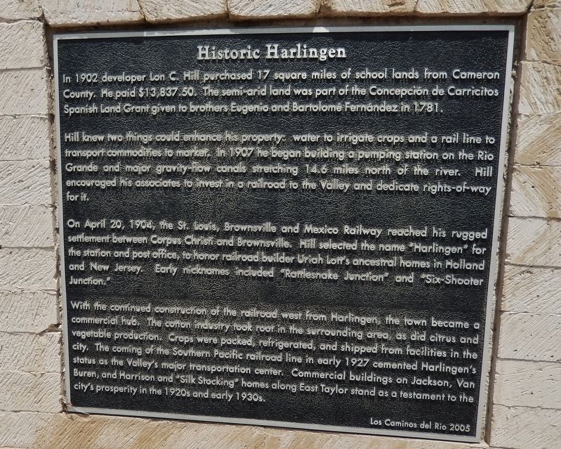
Historic Harlingen
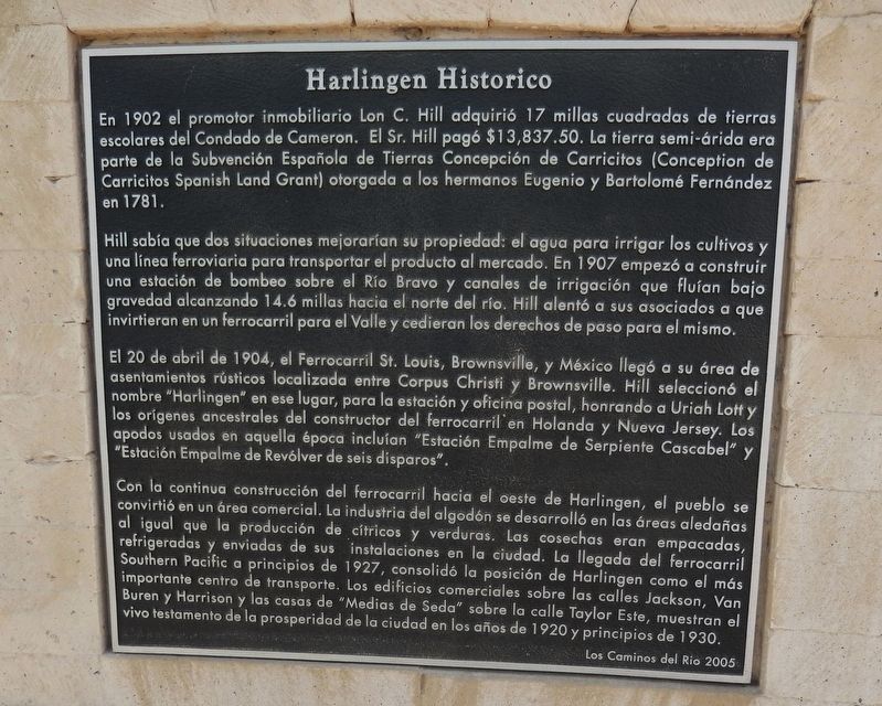
Harlingen Historico
(side one – English)
In 1902 developer Lon C. Hill purchased 17 square miles of school lands from Cameron County. He paid $13,837.50. The semi-arid land was part of the Concepcion de Carricitos Spanish Land Grant to the brothers Eugenio and Bartolome Fernandez in 1781.
Hill knew that two things could enhance his property: water to irrigate crops and a railroad to transport the commodities to market. In 1907 he began building a pumping station at on the Rio Grande and major gravity-flow canals stretching 14.6 miles north of the river. Hill encouraged his associates to invest in a railroad to the Valley and dedicate rights-of-way for it.
On April 20, 1904, the St. Louis, Brownsville and Mexico Railway reached his rugged settlement between Corpus Christi and Brownsville. Hill selected the name “Harlingen” for the station and post office to honor Uriah Lott’s ancestral homes in Holland and New Jersey. Early nicknames included “Rattlesnake Junction” and “Six-Shooter Junction.”
With the continued construction of the railroad west from Harlingen, the town became a commercial hub. The cotton industry took root in it the surrounding area, as did citrus and vegetable production. Crops were packed, refrigerated, and shipped from facilities within the city. The coming of the Southern Pacific railroad line in early 1927 cemented Harlingen’s status as the Valley's major transportation hub. Commercial buildings on Jackson, Van Buren, and Harrison and “Silk Stocking” homes along East Taylor Street stand as a testament to the city’s prosperity in the 1920s and early 1930s.
(side two – Spanish)
En 1902, el promotor inmobiliario Lon C. Hill adquirió 17 millas cuadradas de tierras escolares del Condado de Cameron. El Sr. Hill pagó $ 13,837.50. La tierra semi-árida era parte de la Subvención Española de Tierras Concepción de Carricitos (Conception de Carricitos Spanish Land Grant) otorgada a los hermanos Eugenio y Bartolomé Fernández en 1781.
Hill sabía que dos situaciones mejorarian su propiedad: el agua para irrigar los cultivos y una línea ferroviaria para transporter el product al mercado. En 1907 empezó a construir una estación de bombeo sobre el Río Bravo y canales de irrigación que fluían bajo gravedad alcanzando 14.6 millas hacia el norte del río. Hill alentó a sus asociados a que invirtieran en un ferrocarril para el Valle y cedieran los derechos de paso para el mismo.
El 20 de abril de 1904, el ferrocarril de St. Louis, Brownsville y México llegó a su accidentado asentamiento entre Corpus Christi y Brownsville. Hill seleccionó el nombre "Harlingen" en ese lugar, para la estación y la oficina postal, honrando a Uriah Lott y los orígenes ancestrales del constructor del ferrocarril en Hollanda y Nueva Jersey. Los apodos usados en aquella época incluían "Estación Empalme de Serpiente Cascabel" y "Estación Empalme de Revólver de seis disparos".
Con la continua construcción del ferrocarril el oeste de Harlingen, la ciudad se convirtió en un área comercial. La industria del algodón se desarolló en las áreas aledañas e, al igual que la producción de cítricos y verduras. Las cosecha eran empacadas, refrigeradas ny enviadas de sus instalaciones en la ciudad. La llegada del ferrocarril Southern Pacific a principios de 1927, consolidó la posición de Harlingen como el más importante centro de transporte. Los edificios comerciales sobre las calles Jackson, Van Buren y Harrison y las casas de "Medias de Seda" sobre la calle Taylor Este, muestran el vivo testamento de la prosperidad de la ciudad en los años de 1920 y principios de 1930.
Erected 2005.
Topics. This historical marker is listed in these topic lists: Agriculture • Industry & Commerce
• Railroads & Streetcars • Settlements & Settlers. A significant historical year for this entry is 1902.
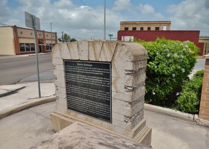
Location. 26° 11.448′ N, 97° 41.829′ W. Marker is in Harlingen, Texas, in Cameron County. Marker is at the intersection of West Harrison Avenue (State Highway 206) and South West Street, on the right when traveling west on West Harrison Avenue. Marker is located in a small plaza at the northeast corner of the intersection. Touch for map. Marker is in this post office area: Harlingen TX 78550, United States of America. Touch for directions.
Other nearby markers. At least 8 other markers are within 6 miles of this marker, measured as the crow flies. Planters State Bank (about 700 feet away, measured in a direct line); Lozano Plaza (about 700 feet away); City of Harlingen (approx. 0.2 miles away); First United Methodist Church of Harlingen (approx. 0.3 miles away); Original Sam Houston School (approx. 0.4 miles away); Harlingen Cemetery (approx. 0.8 miles away); Iraqi D-20 152mm Howitzer (approx. 2.9 miles away); Getsemani Presbyterian Church (approx. 5.4 miles away). Touch for a list and map of all markers in Harlingen.
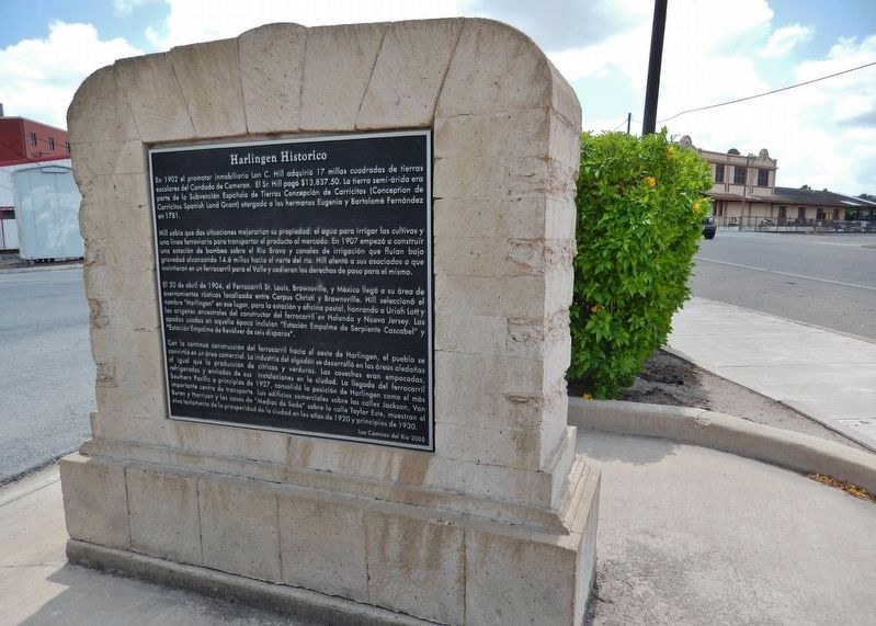
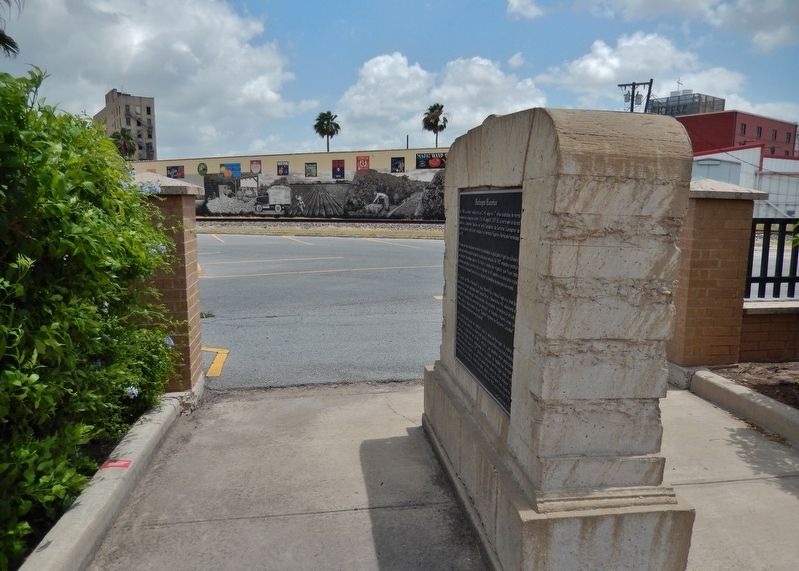
More about this marker. Marker is a large metal plaque, mounted at waist-level, on a large limestone masonry monument. The marker is double-sided, with one side in English and the other
in Spanish. The marker is at the south end of a large parking lot for Harlingen's Centennial Park (located one block north).
Also see . . .
1. Harlingen, Texas. Harlingen's strategic location at the intersection of U.S. highways 77 and 83 in northwestern Cameron County fostered its development as a distribution, shipping, and industrial center. In 1904 Lon C. Hill envisioned the Arroyo Colorado as a commercial waterway. The local economy at first was almost entirely agricultural. Major crops were vegetables and cotton. (Submitted on June 30, 2018, by Cosmos Mariner of Cape Canaveral, Florida.)
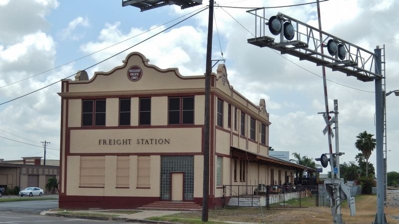
2. The Missouri Pacific Railroad Company. The Missouri Pacific built a 2,500-mile system covering that part of Texas south of a line from Longview through Austin and San Antonio to Laredo, as well as a route from Valley Junction north through Waco to Fort Worth. It served all of the Gulf ports in Texas as well as providing two interchange points with railroads in Mexico. The fourteen companies operated under common management as the Missouri Pacific Lines, but each kept its corporate identity. (Submitted on June 30, 2018, by Cosmos Mariner of Cape Canaveral, Florida.)
Credits. This page was last revised on November 30, 2020. It was originally submitted on June 29, 2018, by Cosmos Mariner of Cape Canaveral, Florida. This page has been viewed 611 times since then and 58 times this year. Photos: 1, 2, 3, 4, 5. submitted on June 29, 2018, by Cosmos Mariner of Cape Canaveral, Florida. 6. submitted on June 30, 2018, by Cosmos Mariner of Cape Canaveral, Florida. • Andrew Ruppenstein was the editor who published this page.
