St. Joseph in Tensas Parish, Louisiana — The American South (West South Central)
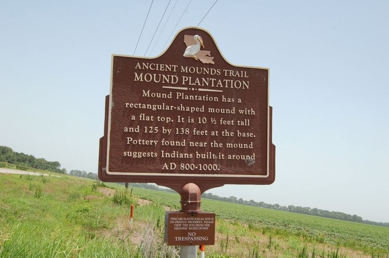
Mound Plantation
Ancient Mounds Trail
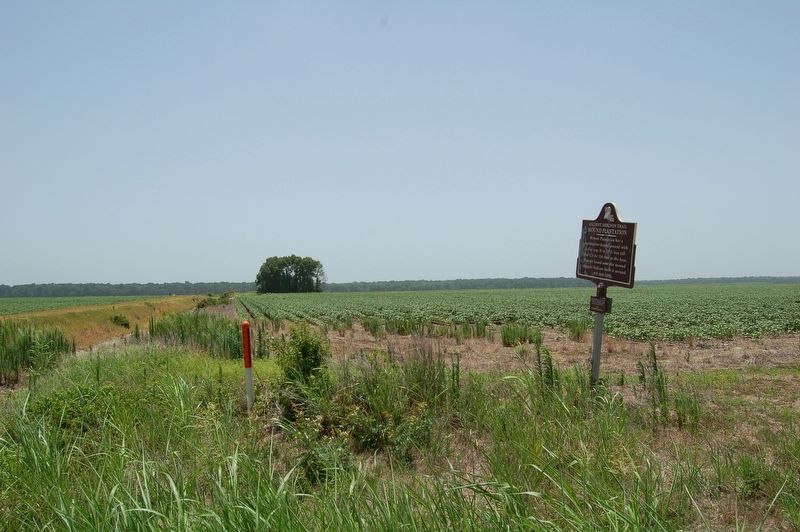
Mound Plantation has a rectangular-shaped mound with a flat top. It is 10½ feet tall and 125 by 138 feet at the base. Pottery found near the mound suggests Indians built it around AD 800-1000.
Lower Plaque
This archaeological site is on private property. Please view the site from the highway right-of-way.
NO TRESPASSING
Topics and series. This historical marker is listed in this topic list: Native Americans. In addition, it is included in the Louisiana Ancient Mounds Trail series list.
Location. 31° 56.046′ N, 91° 17.445′ W. Marker is in St. Joseph, Louisiana, in Tensas Parish. Marker is on U.S. 65, 0.6 miles south of State Highway 128, on the left when traveling south. Touch for map. Marker is in this post office area: Saint Joseph LA 71366, United States of America. Touch for directions.
Other nearby markers. At least 8 other markers are within 7 miles of this marker, measured as the crow flies. Flowery Mound (approx. 1.2 miles away); Tensas Rifle Co. (approx. 3˝ miles away); Major Isaac Harrison's Tensas Cavalry (approx. 3˝ miles away); Tensas Parish Veterans (approx. 3˝ miles away); St. Joseph (approx. 3.6 miles away); Engagement At Choctaw Bayou (approx. 4.3 miles away); Wesley Chapel (approx. 6 miles away); Mayflower Mound (approx. 6˝ miles away). Touch for a list and map of all markers in St. Joseph.
Also see . . . Indian Mounds of Northeast Louisiana - Mound Plantation. (Submitted on July 1, 2018, by Mark Hilton of Montgomery, Alabama.)
Credits. This page was last revised on March 18, 2022. It was originally submitted on July 1, 2018, by Cajun Scrambler of Assumption, Louisiana. This page has been viewed 572 times since then and 53 times this year. Photos: 1, 2. submitted on July 1, 2018, by Cajun Scrambler of Assumption, Louisiana.

