Downtown in San Antonio in Bexar County, Texas — The American South (West South Central)
Twohig House
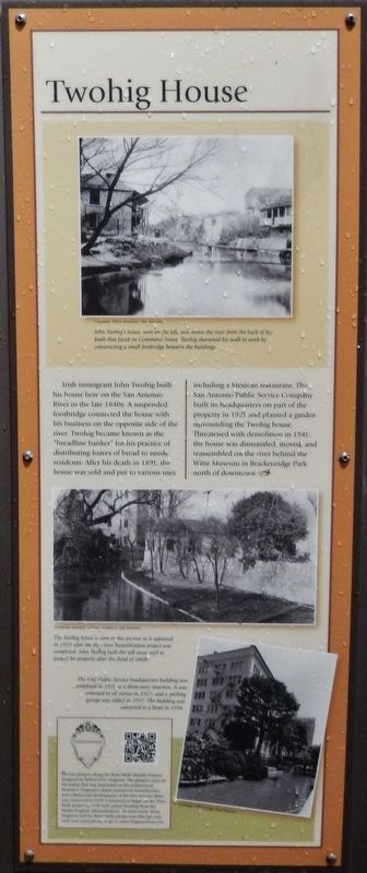
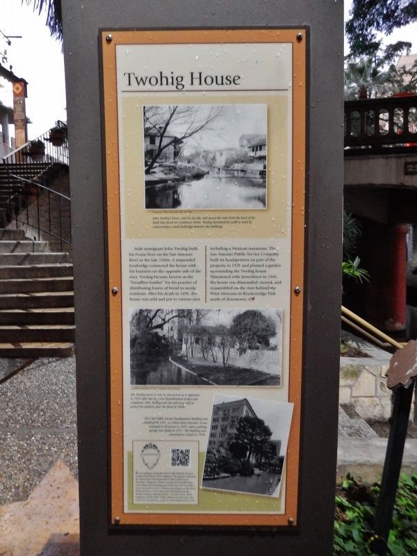
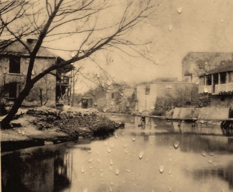
Irish immigrant John Twohig built his house here on the San Antonio River in the late 1840s. A suspended footbridge connected the house with his business on the opposite side of the river. Twohig became known as the “breadline banker” for his practice of distributing loaves of bread to needy residents. After his death in 1891, the house was sold and put to various uses including a Mexican restaurant. The San Antonio Public Service Company built its headquarters on part of the property in 1921 and planted a garden surrounding the Twohig house. Threatened with demolition in 1941, the house was dismantled, moved, and reassembled on the river behind the Witte Museum in Brackenridge Park north of downtown.
Topics. This historical marker is listed in these topic lists: Charity & Public Work • Industry & Commerce • Settlements & Settlers.
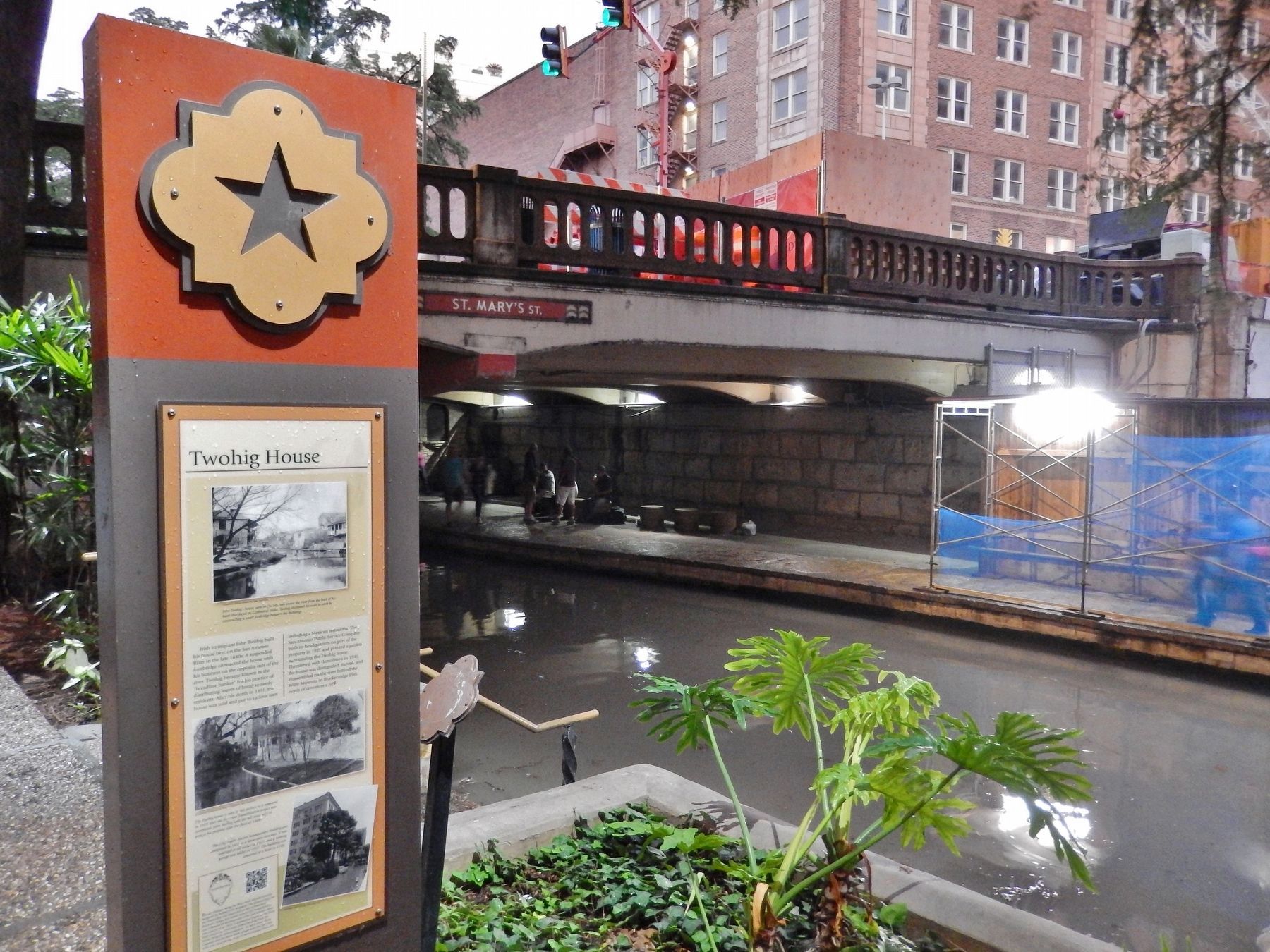
Location. 29° 25.511′ N, 98° 29.493′ W. Marker is in San Antonio, Texas, in Bexar County. It is in Downtown. Marker can be reached from North St. Mary's Street, 0.1 miles north of West Crocket Street, on the right when traveling south. Marker is located on the San Antonio River Walk, on the north side of the river, below the St. Mary's Street Bridge crossing just north of Crocket Street. Touch for map. Marker is at or near this postal address: 201 North St Mary's Street, San Antonio TX 78205, United States of America. Touch for directions.
Other nearby markers. At least 8 other markers are within walking distance of this marker. Saint Mary's Church (within shouting distance of this marker); John Twohig Lived on These Grounds (within shouting distance of this marker); Twin Cypress Mexican Sniper Tree (within shouting distance of this marker); Site of Old St. Mary's (within shouting distance of this marker); San Antonio River Walk (within shouting distance of this marker); San Antonio's River Walk and Flood Control System (within shouting distance of this marker); St. Mary's Institute (about 300 feet away, measured in a direct line); Old St. Mary's College (about 400 feet away). Touch for a list and map of all markers in San Antonio.
Also see . . .
1. Photo of the San Antonio River & John Twohig's house. This link presents a photo of the San Antonio River, with John Twohig's house. A wooden foot bridge spans the river. The rectangular structure in the lower right corner is a fabric covered bathhouse. (Submitted on July 1, 2018, by Cosmos Mariner of Cape Canaveral, Florida.)
2. John Twohig. After serving as an apprentice on a British merchant vessel and engaging in coastwise trade between New Orleans and Boston, John Twohig established a mercantile business in San Antonio, Texas, in 1830. At the time of the Adrián Woll invasion of San Antonio in 1842, Twohig blew up his store to keep ammunition from the enemy. Captured and taken to Mexico, he and fourteen other San Antonians held in Perote Prison cut a tunnel and effected
their escape in 1843. In the years prior to the Civil War he amassed a large personal fortune. His banking business declined because of the effects of the war, but soon recovered. In 1870 Twohig was among the 100 wealthiest men in Texas. (Submitted on July 2, 2018, by Cosmos Mariner of Cape Canaveral, Florida.)
3. John Twohig: Breadline Banker. The Twohig house stood beside the river, across from the present St. Mary’s church, which he attended regularly. St. Mary’s, founded in 1857, was called by some the “American church,” the “English church,” or the “Irish church.” It was established for the English-speaking San Antonians, but, until St. Joseph’s Church was built in 1868 for the Germans, they also attended St. Mary’s. Twohig, known fondly in San Antonio as “the breadline banker” for his practice of buying bread by the barrel and handing out loaves to poor families at his home each Saturday, was quick to give money to those in need. (Submitted on July 2, 2018, by Cosmos Mariner of Cape Canaveral, Florida.)
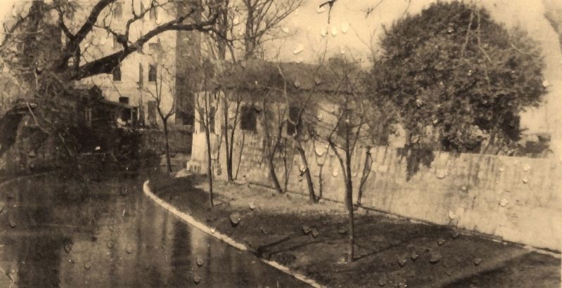
Photographed By Courtesy: Institute of Texan Cultures, San Antonio, 1929
4. Marker detail: John Twohig's house, 1929
The Twohig house is seen in this picture as it appeared in 1929 after the first river beautification project was completed. John Twohig built the tall stone wall to protect his property after the flood of 1868.
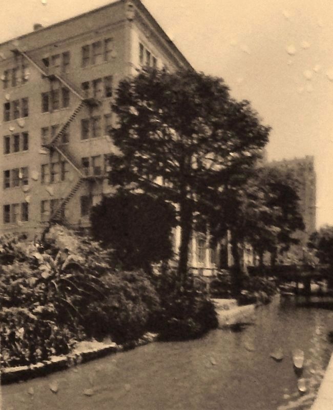
Photographed By Courtesy: CPS Energy, San Antonio
5. Marker detail: City Public Service building
The City Public Service headquarters building was completed in 1921 as a three-story structure. It was enlarged to six stories in 1927, and a parking garage was added in 1952. The building was converted to a hotel in 1998.
Credits. This page was last revised on February 2, 2023. It was originally submitted on July 1, 2018, by Cosmos Mariner of Cape Canaveral, Florida. This page has been viewed 421 times since then and 44 times this year. Photos: 1, 2, 3, 4, 5, 6. submitted on July 1, 2018, by Cosmos Mariner of Cape Canaveral, Florida. • Andrew Ruppenstein was the editor who published this page.
