Greeley in Weld County, Colorado — The American Mountains (Southwest)
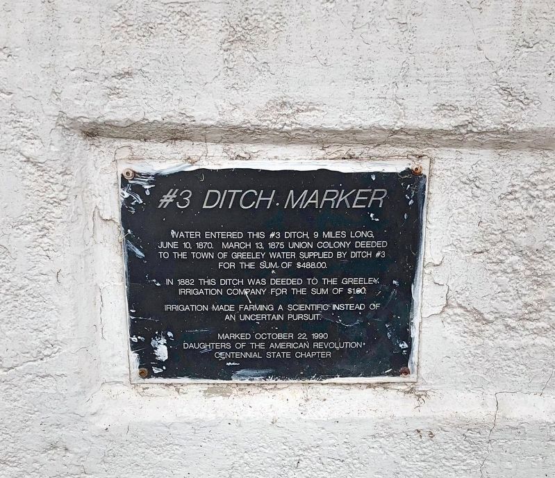
#3 Ditch Marker
June 10, 1870. March 13, 1875 Union Colony deeded
to the town of Greeley water supplied by Ditch #3
for the sum of $488.00.
In 1882 this ditch was deeded to the Greeley
Irrigation Company for the sum of $1.00.
Irrigation made farming a scientific instead of
an uncertain pursuit.
Erected 1990 by Daughters of the American Revolution Centennial State Chapter.
Topics and series. This historical marker is listed in these topic lists: Agriculture • Natural Resources. In addition, it is included in the Daughters of the American Revolution series list. A significant historical date for this entry is March 13, 1875.
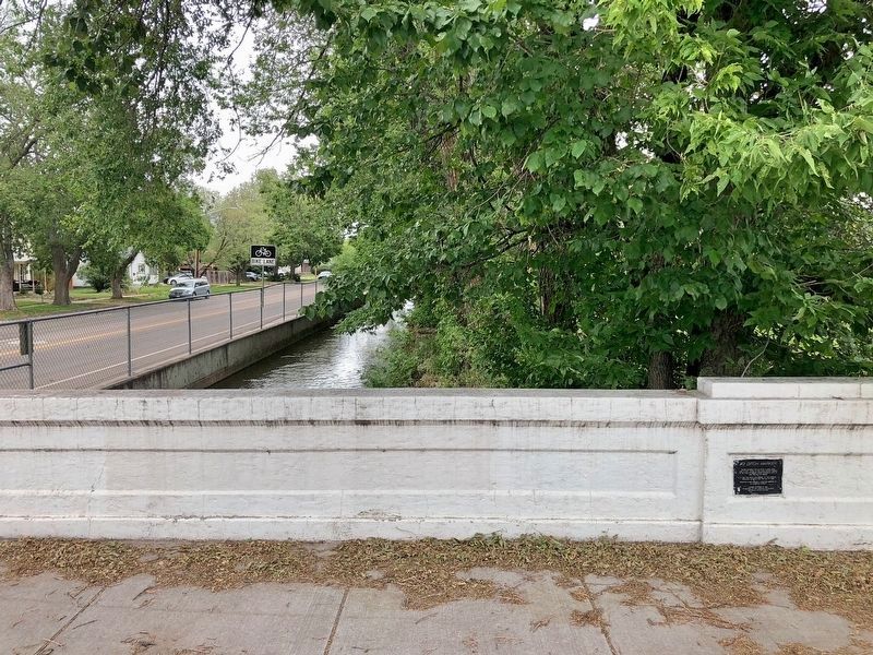
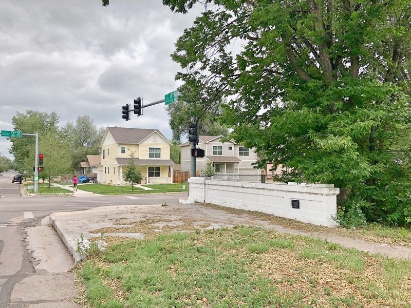
Location. 40° 25.1′ N, 104° 42.092′ W. Marker is in Greeley, Colorado, in Weld County. Marker is at the intersection of 14th Avenue and 13th Street, on the right when traveling north on 14th Avenue. Located on the southeast end of the bridge spanning 14th Avenue. Touch for map. Marker is at or near this postal address: 1300 14th Avenue, Greeley CO 80631, United States of America. Touch for directions.
Other nearby markers. At least 8 other markers are within walking distance of this marker. Masonic Temple (approx. half a mile away); Weld County Court House (approx. 0.6 miles away); Replica of the Statue of Liberty (approx. 0.6 miles away); The Pioneer Fountain (approx. 0.6 miles away); Buckingham Gordon Building (approx. 0.6 miles away); Lincoln Park (approx. 0.6 miles away); Greeley Union Pacific Railroad Depot (approx. ¾ mile away); Greeley Business District (approx. 0.8 miles away). Touch for a list and map of all markers in Greeley.
Regarding #3 Ditch Marker. In 1869, Union Colony was organized in New York City with Nathan C. Meeker, agricultural editor of the New York Tribune, as president, General Robert A. Cameron as vice president, and Horace Greeley, editor of the New York Tribune, as treasurer. Meeker was to be massacred at the White River Agency in western Colorado in 1879. Early in 1870 Meeker, Cameron, W.C. Fisk and H.T. West went to Colorado and selected an area near Evans, then the terminus of the Denver Pacific Railway. They bought about 11,917 acres of land, 9,324 from the railroad, the balance from private individuals. Individual members were persuaded to file on an additional 60,000 acres of public land. In May of 1870, the first 50 families of the 500 members of the colony arrived. That same year, the colony constructed Ditch #3, running from the Cache la Poudre River to the South Platte River, a distance of about nine miles. It was to supply water to the houses of Greeley and 5,000 acres of local farmland. It is considered to have played a significant part in the growth of Greeley. Immediately thereafter, another ditch, #2, was constructed on the north side of the Cache la Poudre to irrigate 50,000 acres of outlying farmland. Ditch #3, now known as Union Colony #3 Canal, runs from the Cache la Poudre at 71st Avenue on the west to Fern Avenue near the Greeley-Weld County Airport on the east. It is presently owned by the Greeley Irrigation Company. It is still in use. (Source: The Centennial State Chapter - D.A.R.)
Credits. This page was last revised on July 2, 2018. It was originally submitted on July 2, 2018, by Mark Hilton of Montgomery, Alabama. This page has been viewed 314 times since then and 24 times this year. Photos: 1, 2, 3. submitted on July 2, 2018, by Mark Hilton of Montgomery, Alabama.


