San Andreas in Calaveras County, California — The American West (Pacific Coastal)
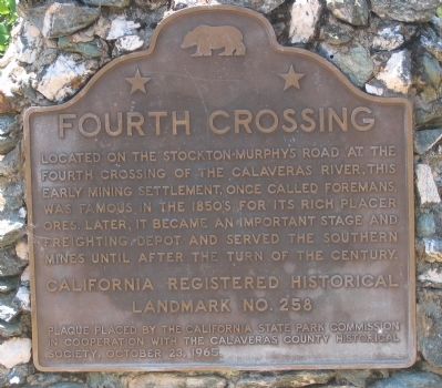
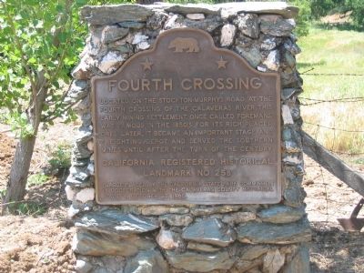
Fourth Crossing
Erected 1965 by The California State Park Commission in cooperation with the Calaveras County Historical Society, October 23, 1965. (Marker Number 258.)
Topics and series. This historical marker is listed in these topic lists: Bridges & Viaducts • Industry & Commerce • Landmarks • Natural Resources • Notable Places • Roads & Vehicles • Settlements & Settlers. In addition, it is included in the California Historical Landmarks series list.
Location. 38° 7.837′ N, 120° 38.071′ W. Marker is in San Andreas, California, in Calaveras County. Marker is on State Highway 49, on the right when traveling south. Touch for map. Marker is in this post office area: San Andreas CA 95249, United States of America. Touch for directions.
Other nearby markers. At least 8 other markers are within 6 miles of this marker, measured as the crow flies. Calaveritas (approx. 2.2 miles away); The Costa Store (approx. 2.3 miles away); Attempted Stage Robbery (approx. 4.3 miles away); The Red Barn (approx. 4.4 miles away); Calaveras County Hospital Cemetery (approx. 4.4 miles away); Model 1841 12-Pound Field Howitzers (approx. 4˝ miles away); Calaveras County War Memorial (approx. 4˝ miles away); Altaville Grammar School (approx. 5.1 miles away). Touch for a list and map of all markers in San Andreas.
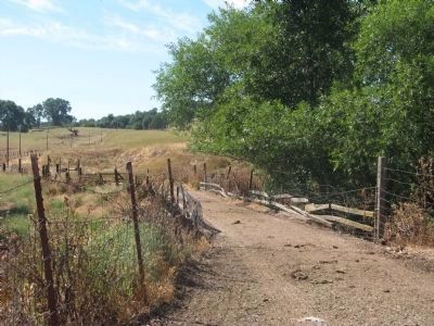
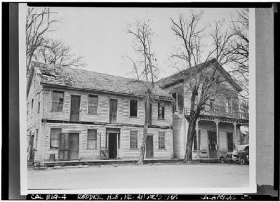
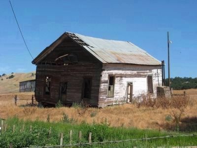
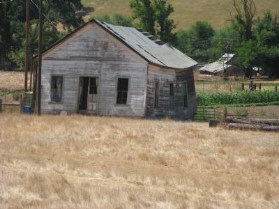
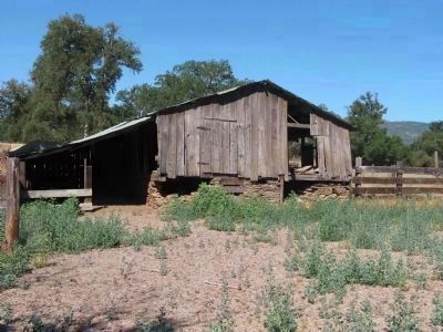
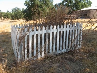
Regarding Fourth Crossing. This settlement was located on the old Stockton Road between Stockton and Murphys Diggin's. It was the fourth crossing of the Calaveras River. Today the site sits on the San Antonio Creek, which in the 1850s was called "South Calaveras". The settlement was first called Foreman's Upper Ranch. It was acquired by William B. Reddick in 1858 and was then known as Reddick's or 15-Mile House.
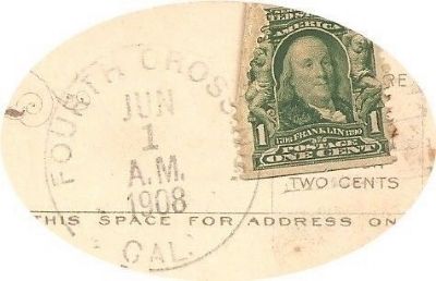
Postal authorities established a Fourth Crossing Post Office in 1855. This was discontinued in 1888 and then re-established in 1892. It was then discontinued again in 1925.
This site has been designated as California Registered Historical Landmark No.258
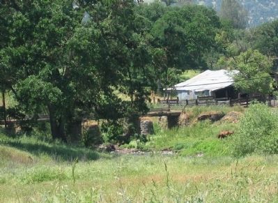
Photographed By Syd Whittle, May 18, 2006
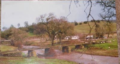
3. Fourth Crossing Toll Road Bridge
Alex C. Beritzhoff, the first keeper of the old hotel, was also the first to conduct the toll bridge, built in 1853. This was the only bridge in the area (Mokelumne, Calaveras, Stanislaus and Tuolemne Rivers) that did not wash away during the floods of the winter of 1861-62 and is the oldest existing bridge in the State of California.
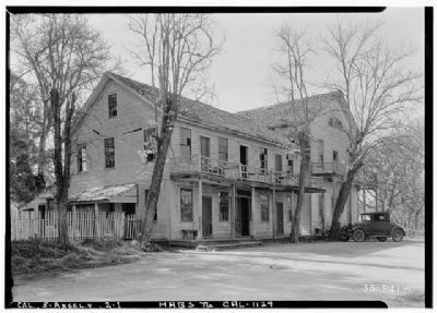
Photographed By Roger Sturtevant, Photographer, April 5, 1934
6. John Reddick House, Fourth Crossing
Historic American Buildings Survey (Library of Congress)
HABS CAL,5-FOUR,1-
Click for more information.
HABS CAL,5-FOUR,1-
Click for more information.
Credits. This page was last revised on January 4, 2020. It was originally submitted on October 1, 2008, by Syd Whittle of Mesa, Arizona. This page has been viewed 2,847 times since then and 77 times this year. Photos: 1, 2, 3. submitted on October 1, 2008, by Syd Whittle of Mesa, Arizona. 4, 5. submitted on July 20, 2010, by Syd Whittle of Mesa, Arizona. 6. submitted on April 14, 2009, by Syd Whittle of Mesa, Arizona. 7, 8, 9, 10, 11. submitted on July 20, 2010, by Syd Whittle of Mesa, Arizona. 12. submitted on October 16, 2010, by Syd Whittle of Mesa, Arizona. 13. submitted on October 1, 2008, by Syd Whittle of Mesa, Arizona.
