Namazgah in İzmir in Konak, Turkey — West Asia or Southeast Europe
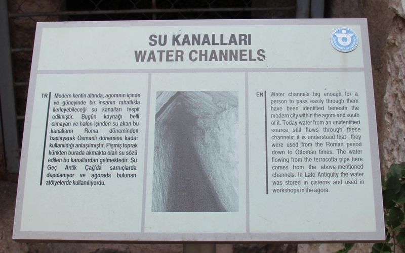
Water Channels
English Text:
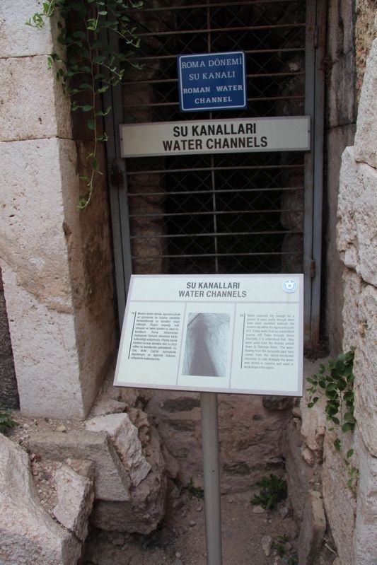
Water channels big enough for a person to pass easily through them have been identified beneath the modern city within the agora and south of it. Today water from an unidentified source still flows through these channels; it is understood that they were used from the Roman period down to Ottoman times. The water flowing from the terracotta pipe here comes from the above-mentioned channels. In Late Antiquity the water was stored in cisterns and used in workshops in the agora.
Erected by Izmir Chamber of Commerce.
Topics. This historical marker is listed in these topic lists: Parks & Recreational Areas • Settlements & Settlers.
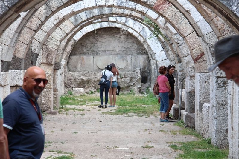
Location. 38° 25.141′ N, 27° 8.294′ E. Marker is in İzmir, in Konak. It is in Namazgah. Marker can be reached from Tarik Sari Sokağı just east of Eşrefpaşa Cd., on the left when traveling east. This marker is situated in the Smyrna archaeological park, which is in a business/residential neighborhood. This particular marker is located in the basement area of the agora's porticoes. Touch for map. Marker is in this post office area: İzmir 35240, Turkey. Touch for directions.
Other nearby markers. At least 8 other markers are within walking distance of this marker. The Dream of Alexander the Great (a few steps from this marker); The Basement of the West Portico (a few steps from this marker); Honorary Inscription (a few steps from this marker); Neocorus of the Cult of the Emperor at Smyrna (a few steps from this marker); The West Portico (within shouting distance of this marker); The Ancient City of Smyrna (within shouting distance of this marker); a different marker also named The Ancient City of Smyrna (within shouting distance of this marker); The Agora of Smyrna (within shouting distance of this marker). Touch for a list and map of all markers in İzmir.
More about this marker. Note, I was not certain of this marker's exact GPS location, as I was part of a tour and needed to keep moving to try to keep up, so my basement portico locations are all guesstimates.
Credits. This page was last revised on February 13, 2023. It was originally submitted on July 5, 2018, by Dale K. Benington of Toledo, Ohio. This page has been viewed 131 times since then and 8 times this year. Photos: 1, 2, 3. submitted on July 5, 2018, by Dale K. Benington of Toledo, Ohio.


