Cloverport in Breckinridge County, Kentucky — The American South (East South Central)
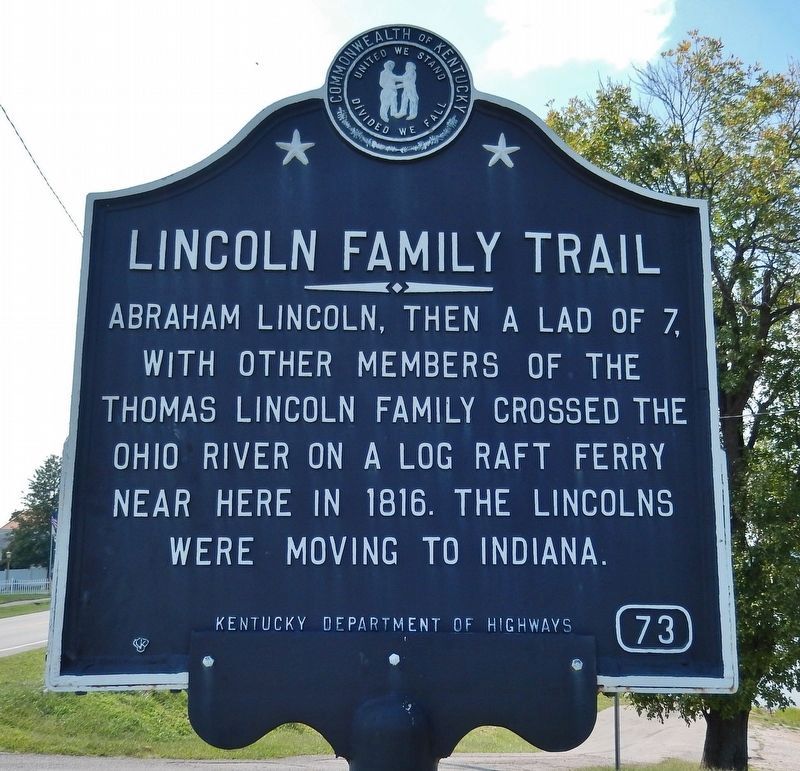
Lincoln Family Trail
Erected by Kentucky Department of Highways. (Marker Number 73.)
Topics and series. This historical marker is listed in these topic lists: Settlements & Settlers • Waterways & Vessels. In addition, it is included in the Former U.S. Presidents: #16 Abraham Lincoln series list. A significant historical year for this entry is 1816.
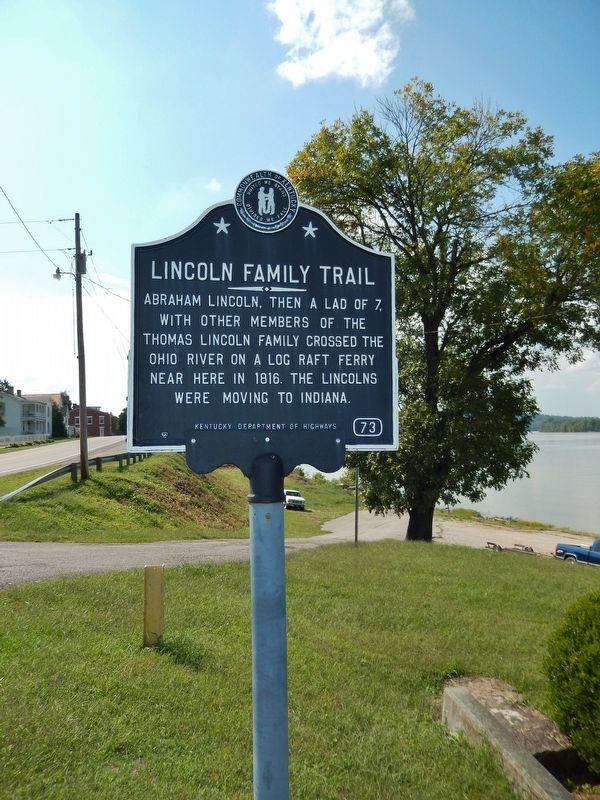
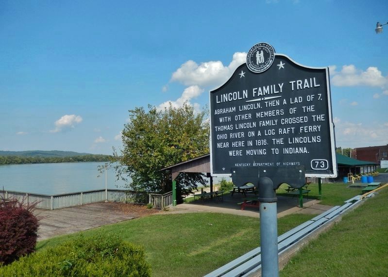
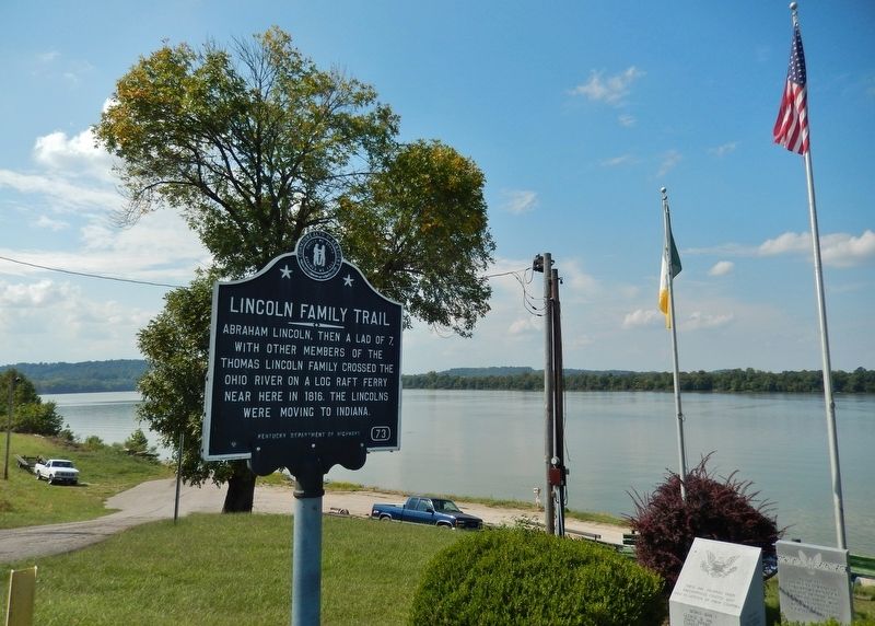
Location. 37° 50.223′ N, 86° 38.073′ W. Marker is in Cloverport, Kentucky, in Breckinridge County. Marker is at the intersection of West Main Street (Kentucky Route 2200) and Center Street, on the right when traveling west on West Main Street. Marker is located in a pull-out on the north side of the street, overlooking the Ohio River, across Main Street from Cloverport Baptist Church. Touch for map. Marker is at or near this postal address: 314 West Main Street, Cloverport KY 40111, United States of America. Touch for directions.
Other nearby markers. At least 8 other markers are within 6 miles of this marker, measured as the crow flies. Breckinridge County Veterans Memorial (here, next to this marker); Cloverport Veterans Monument (here, next to this marker); First Coal Oil (within shouting distance of this marker); Early Shipping Point (about 600 feet away, measured in a direct line); Tar Springs (approx. 0.4 miles away); Joseph Holt (approx. 3.3 miles away); Lafayette's Tour (approx. 5.9 miles away in Indiana); Lafayette Spring (approx. 5.9 miles away in Indiana). Touch for a list and map of all markers in Cloverport.
Also see . . .
1. The Lincolns followed the old pioneer trail (established in 1802). The Lincolns left Kentucky by crossing the Ohio River at Cloverport on a log ferry operated by Jacob Weatherholt, from mouth of Clover Creek, through Thompson's Ferry, which operated on the Ohio River in the vicinity of the mouth of Anderson Creek, to Tobinsport, Indiana. The next day, the Lincoln family made their way down to Rock Island (Indiana), and camped at "Lafayette Springs". Next they stopped at Troy, and then on to take up a Federal Land Claim near Little Pigeon Creek in what was then Perry County and is now Spencer County, Indiana. (Submitted on July 6, 2018, by Cosmos Mariner of Cape Canaveral, Florida.)
2. Lincoln Family Trail. Abraham Lincoln recounted the reason for this move as “partly on account of slavery; but chiefly on account of the difficulty in land titles in Kentucky.” Challenges to land titles
were common in the early years of Kentucky, and the experience of Thomas Lincoln was no exception. Thomas fought to keep his two farms near Hodgenville, Kentucky, but was compelled to vacate each due to the competing claims of other land owners.
The westward migration of the Lincoln family was not uncommon, as many Kentucky families moved to the newly organized states of Indiana (1816) and Illinois (1818). (Submitted on July 7, 2018, by Cosmos Mariner of Cape Canaveral, Florida.)
Credits. This page was last revised on March 4, 2021. It was originally submitted on July 6, 2018, by Cosmos Mariner of Cape Canaveral, Florida. This page has been viewed 414 times since then and 51 times this year. Photos: 1, 2, 3, 4. submitted on July 6, 2018, by Cosmos Mariner of Cape Canaveral, Florida. • Andrew Ruppenstein was the editor who published this page.


