Downtown in San Antonio in Bexar County, Texas — The American South (West South Central)
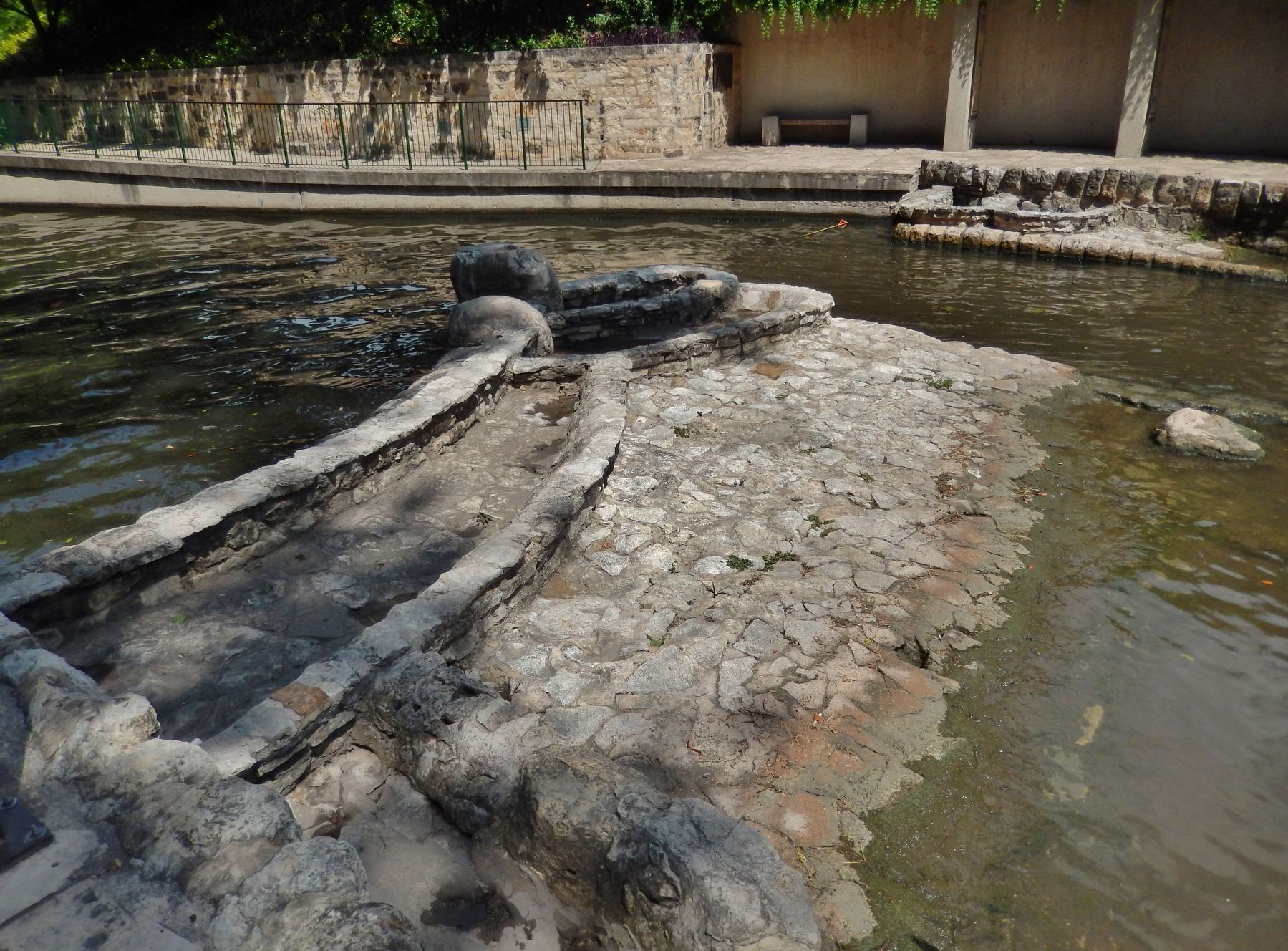
The Hugman Dam
Beautification of the San Antonio River was a long-time dream of local residents who urged city officials to improve the river through the downtown area. These efforts were just beginning when devastating floods caused widespread damage in 1913 and 1921. Only after a flood retention dam was completed north of the city across Olmos Creek, a major tributary of the river, did planners recommend comprehensive river improvements.
In 1929 local architect Robert H.H. Hugman presented the mayor with his Spanish-inspired plan to transform the meandering waterway with stone stairs and walkways, arched bridges, and river-level shops and restaurants. The Depression and local politics delayed the project, and Hugman's plans were not finalized until 1939. After two years of construction, a crowd of fifty thousand gathered to dedicate the River Walk on April 21, 1941. Here, at the northern end of Hugman's River Walk, water cascaded over a small stone and concrete weir and passengers embarked on river cruises at the boat landing just above the Fourth Street Bridge. The weir was modified in 2008 as part of the San Antonio River Improvements Project to allow barge traffic to move upstream.
Topics. This historical marker is listed in these topic lists: Man-Made Features • Waterways & Vessels. A significant historical year for this entry is 1929.
Location. 29° 25.909′ N, 98° 29.276′ W. Marker is in San Antonio, Texas, in Bexar County. It is in Downtown. Marker can be reached from Lexington Avenue north of Avenue A, on the right when traveling north. Marker and subject dam site are located on the San Antonio River Walk, on the north side of the river, 1/10 mile east of the Lexington Avenue bridge. Touch for map. Marker is at or near this postal address: 110 Lexington Avenue, San Antonio TX 78205, United States of America. Touch for directions.
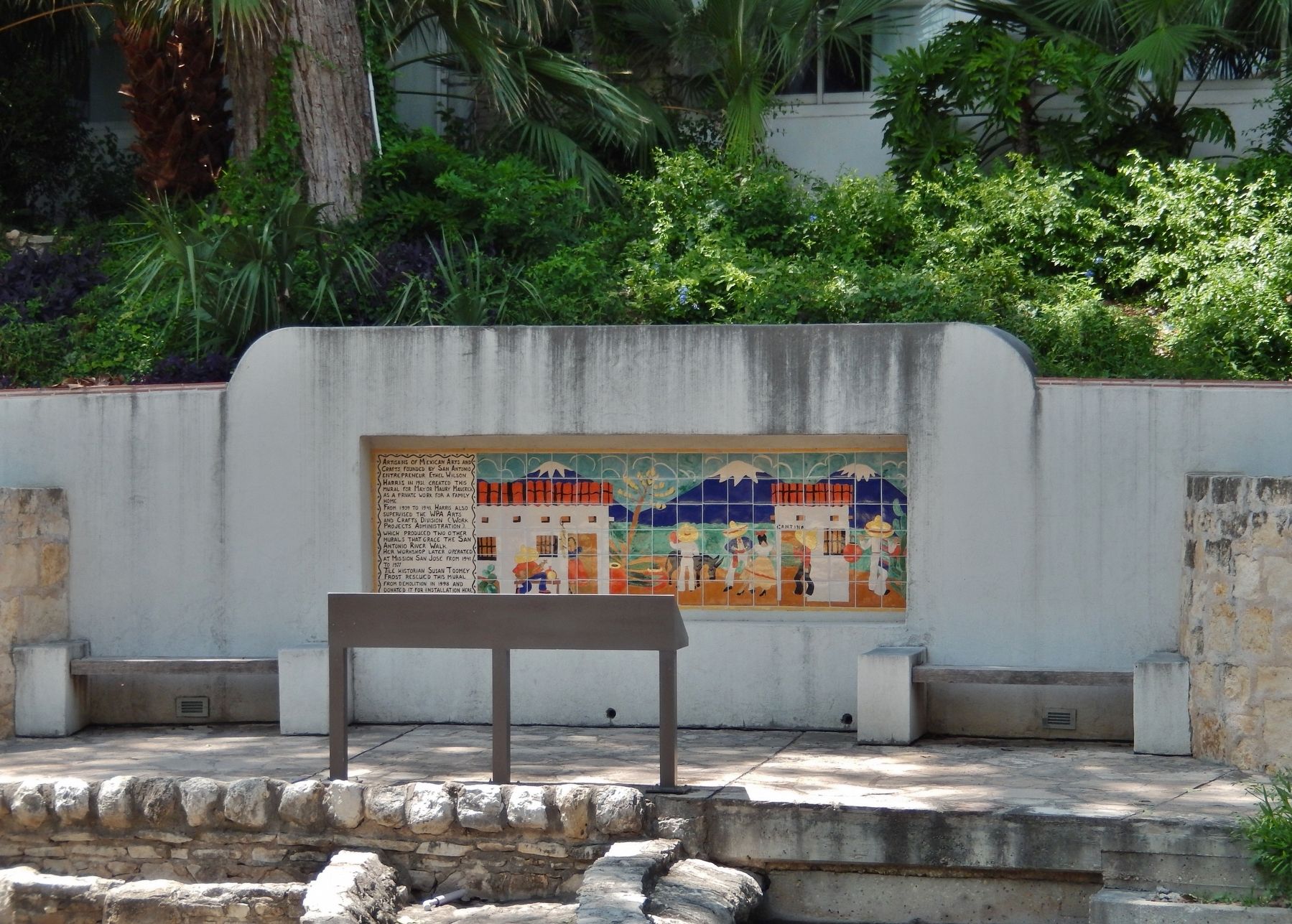
Other nearby markers. At least 8 other markers are within walking distance of this marker. Mayor Maury Maverick Mural (here, next to this marker); Missions in the San Antonio River Valley (a few steps from this marker); The River in the 1900s (a few steps from this marker); The San Antonio River (a few steps from this marker); River Communities (a few steps from this marker); The River in the 1800's (a few steps from this marker); Toltec Apartments (about 500 feet away, measured in a direct line); Maverick-Carter House (about 700 feet away). Touch for a list and map of all markers in San Antonio.
Also see . . .
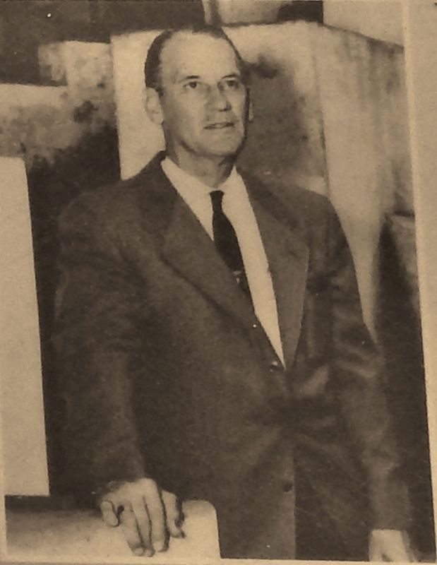
1. Robert Harvey Harold Hugman. Robert H. H. Hugman was the architect of San Antonio’s WPA River Walk, one of the world’s most distinctive urban linear parks. Robert Hugman realized that the Great Bend could be freed from even low rising water if there were gates at each end, thus permitting businesses to open directly onto riverside walkways without fear of water flowing indoors.
Courtesy: Robert H.H. Hugman Drawings Collection, San Antonio Conservation Society Foundation
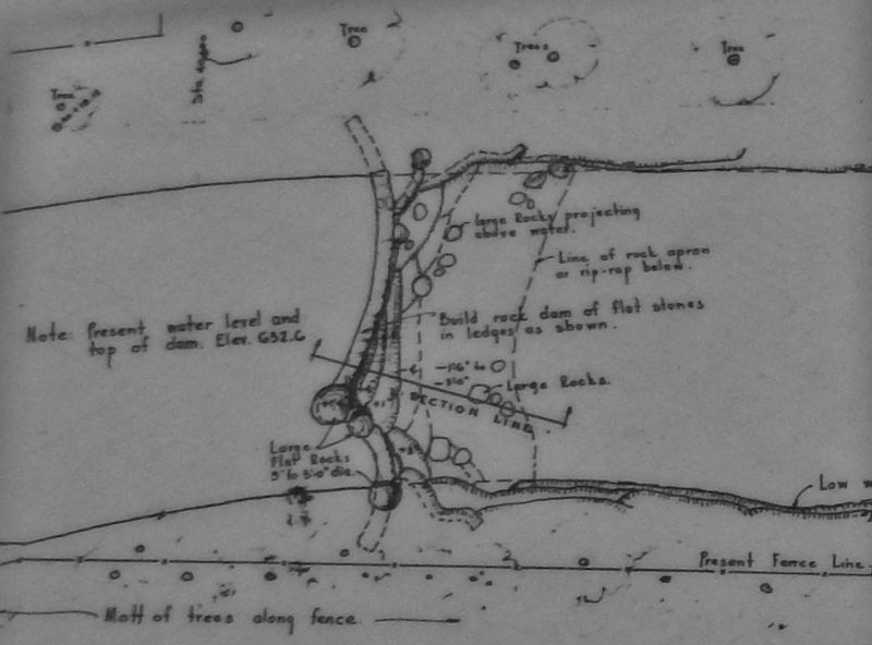
2. Marker detail: Hugman's River Development Plan Drawing
Robert Hugman's plans for the river development project included the smallest details. This drawing illustrates the dam as originally built here above the Fourth Street Bridge.
2. Robert H.H. (Harvey Harold) Hugman. Hugman (1902-1980) was an architect who left his mark on the city of San Antonio with his plan for the beautification of the San Antonio River. Hugman was appointed architect for the project and work began in 1939. Although not as extensive as his original proposal, the WPA project resulted in the improvement of more than 21 blocks along the river including the construction of 17,000 feet of walkways, 31 stairways leading from 21 bridges, and the planting of more than 11,000 trees and shrubs. The construction of the Arneson River Theater, located alongside La Villita, represented the picturesque vision of what the Paseo del Rio could become. (Submitted on July 3, 2018, by Cosmos Mariner of Cape Canaveral, Florida.)
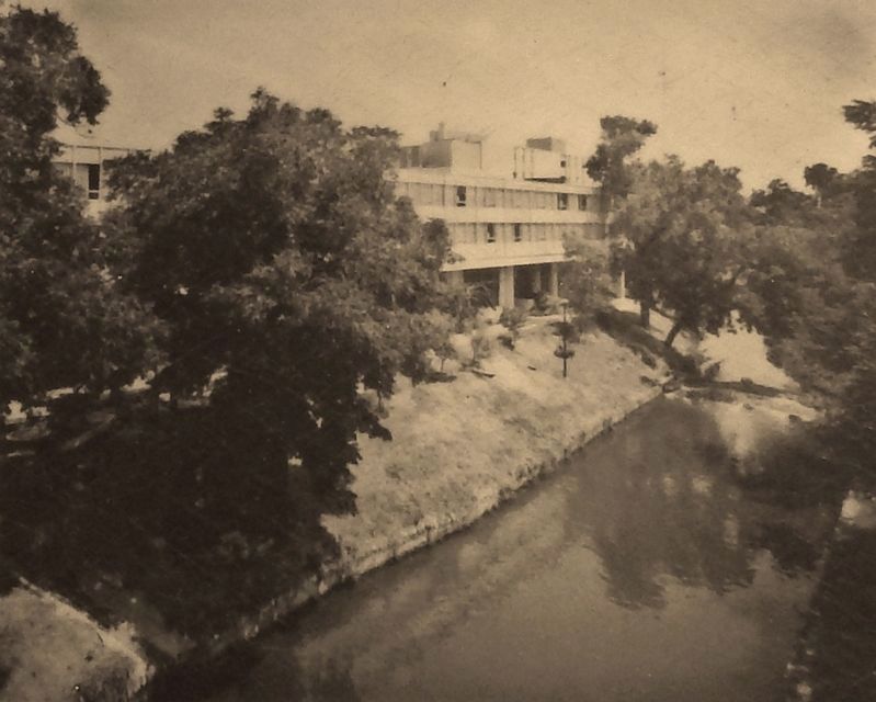
Courtesy: Zintgraff Collection, Institute of Texas Cultures, San Antonio
4. Marker detail: Lewis Home & Hugman Dam
Prominent local businessman and mill owner Nat Lewis built his home on this riverfront site in the 1850s. The house was demolished for construction of El Tropicano Hotel in 1962. The Hugman dam is seen in the photo on the right.
Credits. This page was last revised on February 2, 2023. It was originally submitted on June 21, 2018, by Cosmos Mariner of Cape Canaveral, Florida. This page has been viewed 295 times since then and 31 times this year. Last updated on July 9, 2018, by Cosmos Mariner of Cape Canaveral, Florida. Photos: 1, 2, 3, 4, 5, 6. submitted on June 21, 2018, by Cosmos Mariner of Cape Canaveral, Florida. • Andrew Ruppenstein was the editor who published this page.

