Near Frisco in Summit County, Colorado — The American Mountains (Southwest)
Stone Huts
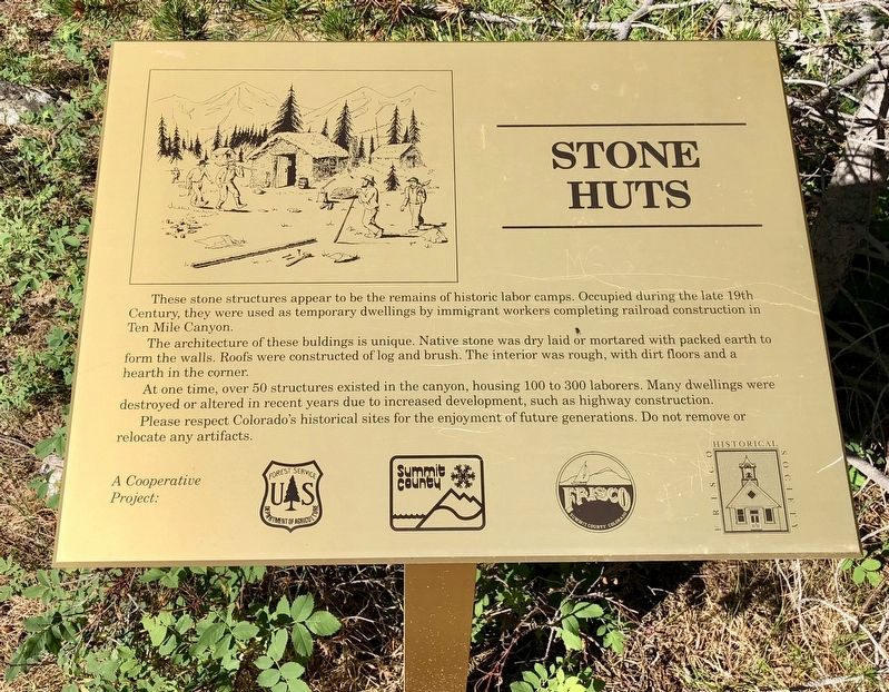
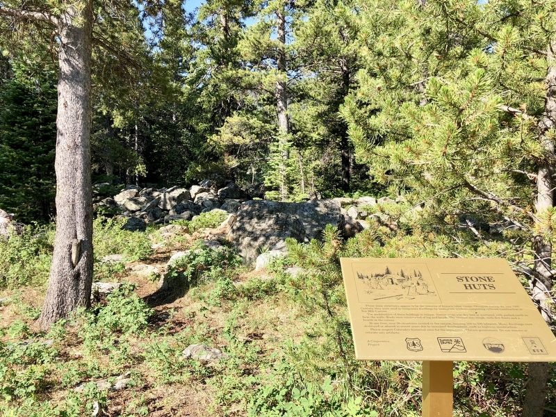
These stone structures appear to be the remains of historic labor camps. Occupied during the late 19th Century, they were used as temporary dwellings by immigrant workers completing railroad construction in Ten Mile Canyon.
The architecture of these buildings is unique. Native stone was dry laid or mortared with packed earth to form the walls. Roofs were constructed of log and brush. The interior was rough, with dirt floors and a hearth in the corner.
At one time over 50 structures existed in the canyon, housing 100 to 300 laborers. Many dwellings were destroyed or altered in recent years, due to increased development, such as highway construction.
Please respect Colorado's historical sites for the enjoyment of future generations. Do not remove or relocate any artifacts.
Erected by USDA Forest Service, Summit County, City of Frisco, Frisco Historical Society.
Topics. This historical marker is listed in these topic lists: Anthropology & Archaeology • Architecture • Asian Americans • Native Americans • Railroads & Streetcars.
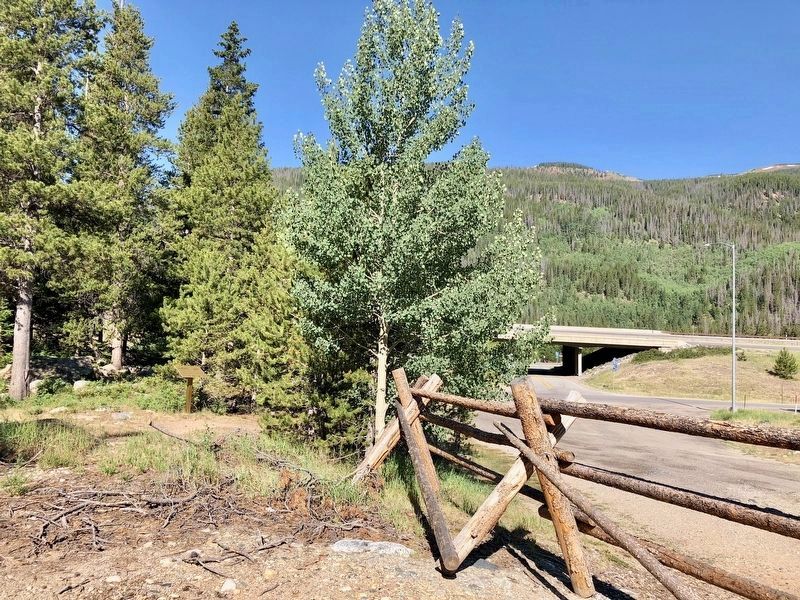
Location. 39° 32.247′ N, 106° 8.512′ W. Marker is near Frisco, Colorado, in Summit County. Marker can be reached from County Road 1220 near Interstate 70, on the right when traveling north. Located near the Officer's Gulch parking area. Touch for map. Marker is in this post office area: Frisco CO 80443, United States of America. Touch for directions.
Other nearby markers. At least 8 other markers are within 7 miles of this marker, measured as the crow flies. Foote's Rest (approx. 3.6 miles away); Staley-Rouse House (approx. 3.6 miles away); "Ski for Light, Art for Sight" (approx. 3.7 miles away); 10th Mountain Division (approx. 4.1 miles away); Vail / Vail Pass Country (approx. 4.1 miles away); Mount of the Holy Cross (approx. 4.1 miles away); Riverwalk - Blue River Restoration (approx. 6.4 miles away); Summit County Courthouse (approx. 6.4 miles away). Touch for a list and map of all markers in Frisco.
Credits. This page was last revised on August 18, 2020. It was originally submitted on July 10, 2018, by Mark Hilton of Montgomery, Alabama. This page has been viewed 449 times since then and 49 times this year. Photos: 1, 2, 3. submitted on July 10, 2018, by Mark Hilton of Montgomery, Alabama.


